1224 Colwell Rd Blue Ridge, GA 30513
Estimated Value: $145,579 - $728,000
--
Bed
--
Bath
--
Sq Ft
6.79
Acres
About This Home
This home is located at 1224 Colwell Rd, Blue Ridge, GA 30513 and is currently estimated at $367,895. 1224 Colwell Rd is a home with nearby schools including Fannin County High School.
Ownership History
Date
Name
Owned For
Owner Type
Purchase Details
Closed on
Nov 4, 2021
Sold by
Ritchie Creek Holdings Llc
Bought by
Coleto Creek Llc
Current Estimated Value
Purchase Details
Closed on
Oct 29, 2021
Sold by
Lscg Fund 31 Llc
Bought by
Ritchie Creek Holdings Llc
Purchase Details
Closed on
Jun 6, 2017
Bought by
Lscg Fund 31 Llc
Purchase Details
Closed on
Apr 11, 2002
Sold by
Collins Manina E
Bought by
Trilogy Enterprises Inc
Purchase Details
Closed on
Dec 28, 2001
Sold by
Baldridge Anthony O
Bought by
Collins Manina E
Purchase Details
Closed on
Nov 19, 1998
Sold by
Tenn Chem Scott Brow
Bought by
Baldridge Anthony
Purchase Details
Closed on
Mar 23, 1984
Bought by
Baldridge Anthony
Create a Home Valuation Report for This Property
The Home Valuation Report is an in-depth analysis detailing your home's value as well as a comparison with similar homes in the area
Home Values in the Area
Average Home Value in this Area
Purchase History
| Date | Buyer | Sale Price | Title Company |
|---|---|---|---|
| Coleto Creek Llc | $91,438 | -- | |
| Ritchie Creek Holdings Llc | $625,000 | -- | |
| Lscg Fund 31 Llc | $95,060 | -- | |
| Trilogy Enterprises Inc | $110,000 | -- | |
| Collins Manina E | -- | -- | |
| Baldridge Anthony | $500 | -- | |
| Baldridge Anthony | $3,700 | -- |
Source: Public Records
Tax History Compared to Growth
Tax History
| Year | Tax Paid | Tax Assessment Tax Assessment Total Assessment is a certain percentage of the fair market value that is determined by local assessors to be the total taxable value of land and additions on the property. | Land | Improvement |
|---|---|---|---|---|
| 2024 | $286 | $31,177 | $27,020 | $4,157 |
| 2023 | $318 | $31,177 | $27,020 | $4,157 |
| 2022 | $318 | $31,177 | $27,020 | $4,157 |
| 2021 | $438 | $31,246 | $27,020 | $4,226 |
| 2020 | $445 | $31,246 | $27,020 | $4,226 |
| 2019 | $454 | $31,246 | $27,020 | $4,226 |
| 2018 | $352 | $22,875 | $18,649 | $4,226 |
| 2017 | $405 | $22,875 | $18,649 | $4,226 |
| 2016 | $371 | $21,841 | $18,649 | $3,192 |
| 2015 | $390 | $21,969 | $18,649 | $3,320 |
| 2014 | $474 | $26,632 | $23,558 | $3,074 |
| 2013 | -- | $26,632 | $23,558 | $3,074 |
Source: Public Records
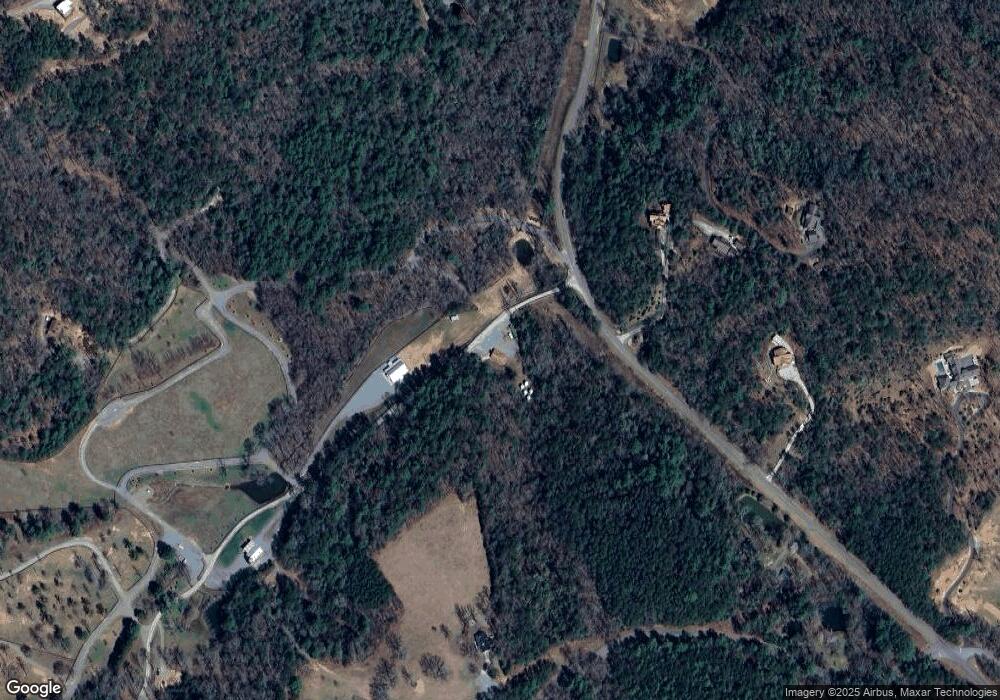
Map
Nearby Homes
- 879 Mill Stone Mountain Ln
- 136 Oasis Dr
- 416 Mill Stone Mountain Ln
- 226 Pinetree Dr
- 399 Pack Creek Rd
- 0 Cottonwood Ln
- 7590 Mobile Rd
- 98 Saddle Back Trail
- 2704 Lebanon Rd
- 445 Twin Creeks Unit 13
- 445 Twin Creeks
- 150 Cadence Way
- 215 Twin Creeks
- 127 Twin Creeks
- 48 Twin Creeks Unit 27
- 48 Twin Creeks
- 769 Higdon Creek Rd
- 55 Deer Watch Ln
- 739 Big Sky Trail
- Lot 14 Pine Grove Dr
- 1265 Colwell Rd
- 1261 Colwell Rd
- 1387 Colwell Rd
- 952 Ritchie Creek Rd
- 425 Idle Ln
- 1059 Colwell Rd
- 1428 Colwell Rd
- 1492 Colwell Rd
- 955 Ritchie Creek Rd
- 955 Ritchie Creek Rd Unit 11
- 405 Idle Ln
- 680 Ritchie Creek Rd
- 343 Idle Ln
- 956 Colwell Rd
- 1001 Colwell Rd
- 263 Oasis Dr
- 263 Oasis Dr
- LT7 Oasis Dr
- 267 Oasis Dr
- 745 Colwell Rd