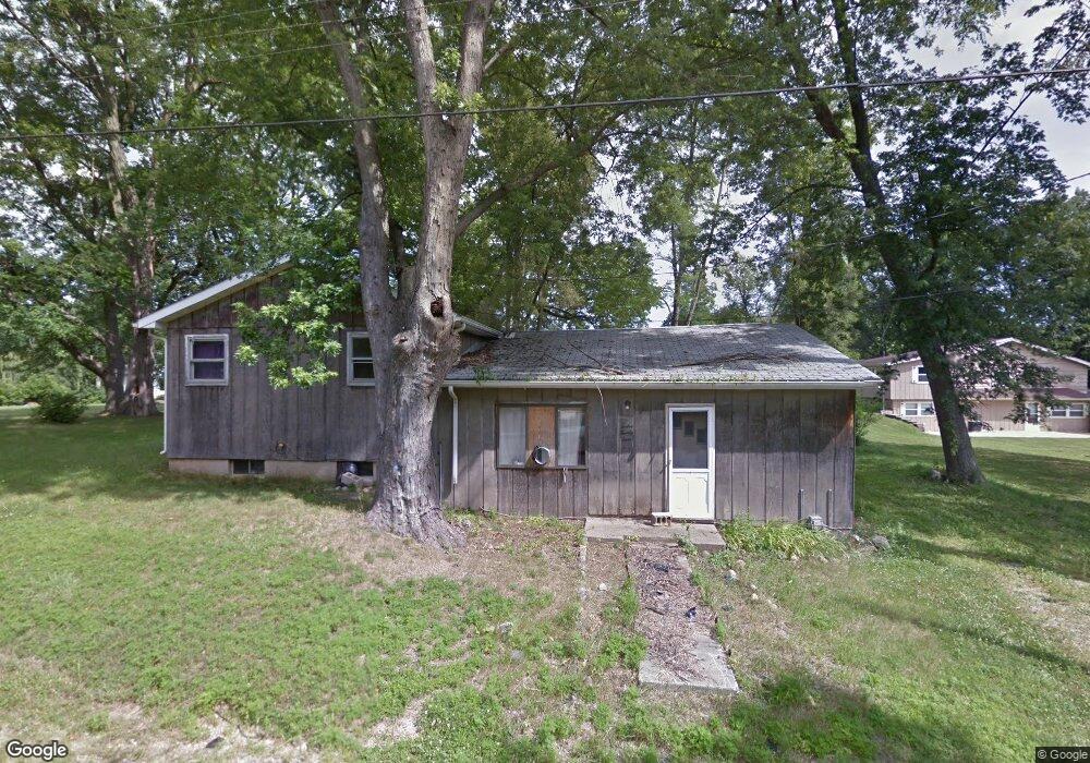
1224 Justin Ave Jackson, MI 49203
Estimated Value: $133,000 - $164,000
About This Home
This home is located at 1224 Justin Ave, Jackson, MI 49203 and is currently estimated at $149,338, approximately $101 per square foot. 1224 Justin Ave is a home located in Jackson County with nearby schools including Townsend Elementary School, Vandercook Lake High School, and Jackson Preparatory & Early College.
Ownership History
We collect this data history from publicly available records. To have your information removed, we recommend requesting removal directly through your county’s website.
Purchase Details
Home Financials for this Owner
Home Financials are based on the most recent Mortgage that was taken out on this home.Home Values in the Area
Average Home Value in this Area
Purchase History
We collect this data history from publicly available records. To have your information removed, we recommend requesting removal directly through your county’s website.
| Date | Buyer | Sale Price | Title Company |
|---|---|---|---|
| $55,000 | None Available |
Mortgage History
We collect this data history from publicly available records. To have your information removed, we recommend requesting removal directly through your county’s website.
| Date | Status | Borrower | Loan Amount |
|---|---|---|---|
| Open | $44,000 |
Tax History
We collect this data history from publicly available records. To have your information removed, we recommend requesting removal directly through your county’s website.
| Year | Tax Paid | Tax Assessment Tax Assessment Total Assessment is a certain percentage of the fair market value that is determined by local assessors to be the total taxable value of land and additions on the property. | Land | Improvement |
|---|---|---|---|---|
| 2025 | $2,213 | $69,600 | $0 | $0 |
| 2024 | $22 | $60,700 | $0 | $0 |
| 2023 | $2,061 | $54,000 | $0 | $0 |
| 2022 | $2,568 | $47,000 | $0 | $0 |
| 2021 | $2,618 | $56,300 | $0 | $0 |
| 2020 | $2,589 | $49,600 | $0 | $0 |
| 2019 | $2,420 | $44,800 | $0 | $0 |
| 2018 | $1,855 | $42,200 | $0 | $0 |
| 2017 | $2,016 | $41,000 | $0 | $0 |
| 2016 | $1,379 | $39,400 | $39,400 | $0 |
| 2015 | $1,627 | $35,200 | $35,200 | $0 |
| 2014 | $1,627 | $33,400 | $33,400 | $0 |
| 2013 | -- | $33,400 | $33,400 | $0 |
Map
- 407 Bagg Ave
- 172 Taylor Ave Unit 84
- 186 Laurie Cir Unit 186
- 805 Vera Cruz St
- 1248 Upper Lucy #111 Unit 111
- 1400 Floyd Ave
- 323 S Maurice Ave
- 1 Pete St Unit 39
- 0 Mystic Ln Unit 50
- 4030 Gatewood Dr
- 3800 Nelson Dr Unit 20
- 1653 Gary Paul Ln
- 114 Ridge St
- VL Hague Ave
- 407 Hinckley Blvd
- 411 Hinckley Blvd
- 208 Thorpe Dr
- 5472 S Meridian Rd
- 615 Sioux St
- 131 Park Dr
- 0 Comstock St Unit G31235681
- 0 Comstock St Unit G31276727
- 0 Comstock St Unit COMSTOCK 31235681
- 0 Comstock St Unit COMSTOCK
- 501 Comstock St
- 4700 Draper Rd
- 408 Comstock St
- 4706 Draper Rd
- 404 Comstock St
- 300 Comstock St
- 4656 Draper Rd
- 510 Comstock St
- 400 Comstock St
- 507 Comstock St
- 411 Bagg Ave
- 4710 Draper Rd
- 4710 Draper Rd
- 400 Comstock St
- 4654 Draper Rd
- 1205 Justin Ave
Ask me questions while you tour the home.