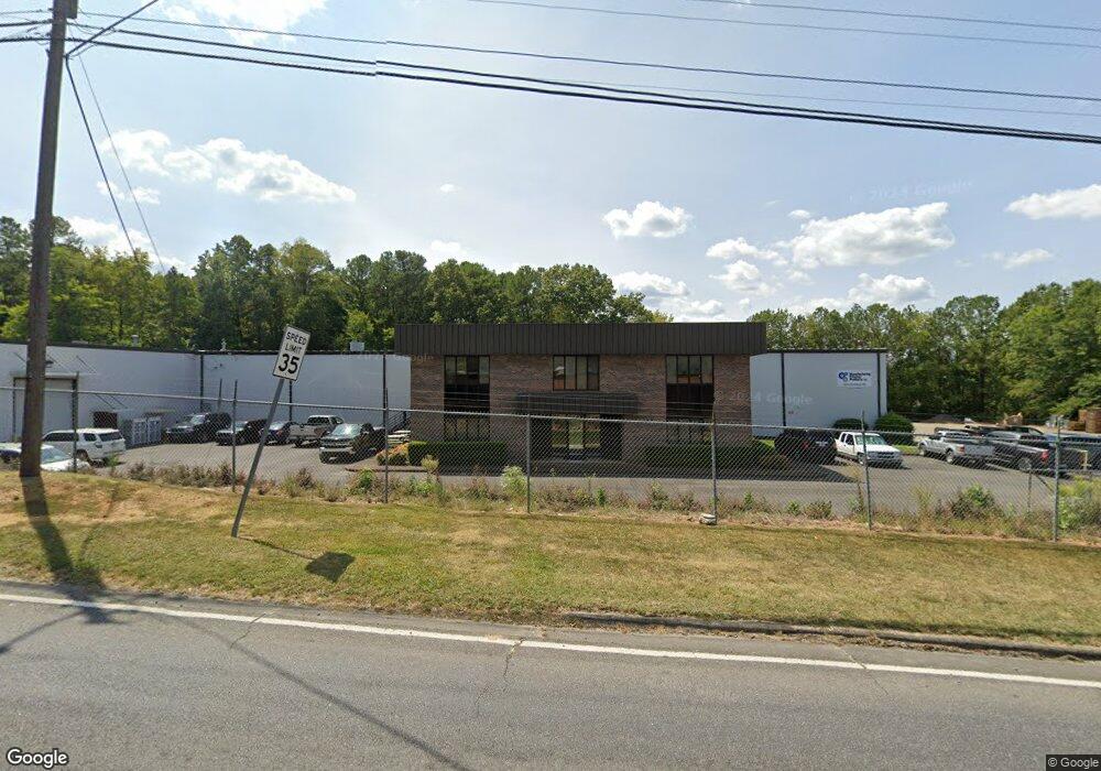
1224 Riverbend Rd Dalton, GA 30721
Estimated Value: $1,767,607
Studio
--
Bath
47,724
Sq Ft
$37/Sq Ft
Est. Value
About This Home
This home is located at 1224 Riverbend Rd, Dalton, GA 30721 and is currently priced at $1,767,607, approximately $37 per square foot. 1224 Riverbend Rd is a home located in Whitfield County with nearby schools including City Park Elementary School, Dalton High School, and Rock Hill School.
Ownership History
Date
Name
Owned For
Owner Type
Purchase Details
Closed on
Dec 10, 2021
Sold by
White Properties Llc
Bought by
Manufacturing Polymer Products
Current Estimated Value
Home Financials for this Owner
Home Financials are based on the most recent Mortgage that was taken out on this home.
Original Mortgage
$1,683,500
Interest Rate
3.56%
Mortgage Type
New Conventional
Purchase Details
Closed on
Feb 8, 2002
Sold by
Staten Enterprises Inc
Bought by
White Properties Llc
Create a Home Valuation Report for This Property
The Home Valuation Report is an in-depth analysis detailing your home's value as well as a comparison with similar homes in the area
Purchase History
| Date | Buyer | Sale Price | Title Company |
|---|---|---|---|
| Manufacturing Polymer Products | $1,400,000 | None Listed On Document | |
| Manufacturing Polymer Products Inc | $1,400,000 | -- | |
| White Properties Llc | $340,000 | -- |
Source: Public Records
Mortgage History
| Date | Status | Borrower | Loan Amount |
|---|---|---|---|
| Previous Owner | Manufacturing Polymer Products | $1,683,500 |
Source: Public Records
Tax History
| Year | Tax Paid | Tax Assessment Tax Assessment Total Assessment is a certain percentage of the fair market value that is determined by local assessors to be the total taxable value of land and additions on the property. | Land | Improvement |
|---|---|---|---|---|
| 2024 | $20,886 | $761,484 | $57,400 | $704,084 |
| 2023 | $17,451 | $506,668 | $37,368 | $469,300 |
| 2022 | $9,337 | $271,086 | $37,368 | $233,718 |
| 2021 | $5,943 | $172,293 | $37,368 | $134,925 |
| 2020 | $6,173 | $172,293 | $37,368 | $134,925 |
| 2019 | $6,365 | $172,293 | $37,368 | $134,925 |
| 2018 | $6,461 | $172,293 | $37,368 | $134,925 |
| 2017 | $6,219 | $172,293 | $37,368 | $134,925 |
| 2016 | $6,259 | $172,293 | $37,368 | $134,925 |
| 2014 | $5,686 | $172,292 | $37,368 | $134,925 |
| 2013 | -- | $172,292 | $37,367 | $134,924 |
Source: Public Records
Map
Nearby Homes
- 1302 Riverbend Rd
- 1302 Jackson Rd
- 434 Liberty Dr
- 1112 Riverbend Dr
- 945 Riverbend Rd
- 902 Mattie Dr
- 1712 Wendell St
- trac 3 Roosevelt Dr
- 514 Sheridan Ave
- 1629 Roosevelt Dr
- 1104 May St
- 436 Whitener Dr
- lot 5 Wendell St
- lot 6 Wendell St
- lot 7 Wendell St
- 406 Lester Ave
- 1902 Bartenfield Dr
- 306 Robinwood Dr
- 121 Eugenia Dr
- 432 4th Ave
- 1218 Riverbend Rd
- 106 Massengill Dr
- 108 Massengill Dr
- 1270 Riverbend Rd
- 116 Liberty Dr
- 1299 Riverbend Rd
- 1304 Liberty Dr
- 1301 Riverbend Rd
- 1308 Liberty Dr
- 154 Liberty Dr
- 186 Liberty Dr
- 1312 Liberty Dr
- 139 Salem Way
- 1202 Jackson Rd
- 1306 Stevenson Dr
- 1306 Stevenson Dr
- 1022 Riverbend Rd
- 292 Liberty Dr
- 1315 Coker Dr
- 1308 Stevenson Dr