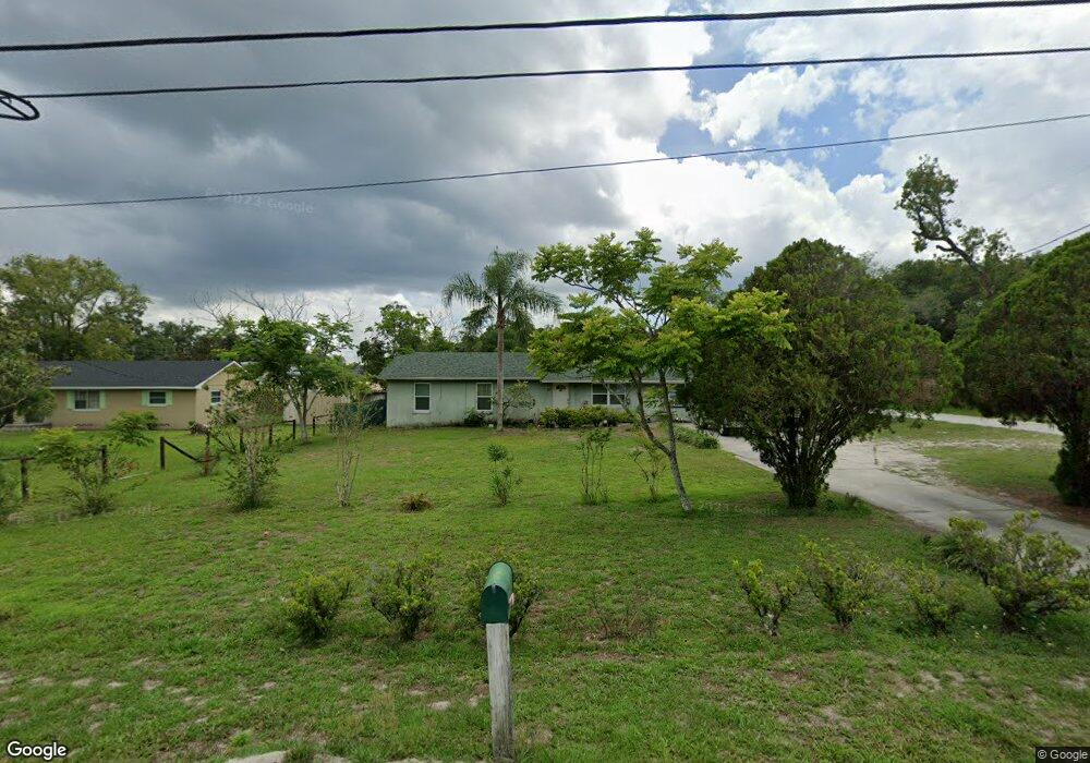
1224 W Euclid Ave Deland, FL 32720
West DeLand NeighborhoodEstimated Value: $247,000 - $287,000
3
Beds
2
Baths
1,248
Sq Ft
$216/Sq Ft
Est. Value
About This Home
This home is located at 1224 W Euclid Ave, Deland, FL 32720 and is currently estimated at $269,608, approximately $216 per square foot. 1224 W Euclid Ave is a home located in Volusia County with nearby schools including Woodward Avenue Elementary School, Deland High School, and Southwestern Middle School.
Ownership History
Date
Name
Owned For
Owner Type
Purchase Details
Closed on
Jul 15, 1992
Bought by
Andaverde Orlando R and Andaverde Virginia
Current Estimated Value
Purchase Details
Closed on
Oct 15, 1991
Bought by
Andaverde Orlando R and Andaverde Virginia
Purchase Details
Closed on
Jan 15, 1986
Bought by
Andaverde Orlando R and Andaverde Virginia
Purchase Details
Closed on
Oct 15, 1984
Bought by
Andaverde Orlando R and Andaverde Virginia
Purchase Details
Closed on
Sep 15, 1984
Bought by
Andaverde Orlando R and Andaverde Virginia
Create a Home Valuation Report for This Property
The Home Valuation Report is an in-depth analysis detailing your home's value as well as a comparison with similar homes in the area
Home Values in the Area
Average Home Value in this Area
Purchase History
| Date | Buyer | Sale Price | Title Company |
|---|---|---|---|
| Andaverde Orlando R | $56,500 | -- | |
| Andaverde Orlando R | $9,000 | -- | |
| Andaverde Orlando R | $100 | -- | |
| Andaverde Orlando R | $100 | -- | |
| Andaverde Orlando R | $5,300 | -- |
Source: Public Records
Tax History Compared to Growth
Tax History
| Year | Tax Paid | Tax Assessment Tax Assessment Total Assessment is a certain percentage of the fair market value that is determined by local assessors to be the total taxable value of land and additions on the property. | Land | Improvement |
|---|---|---|---|---|
| 2025 | $1,007 | $83,657 | -- | -- |
| 2024 | $1,007 | $81,300 | -- | -- |
| 2023 | $1,007 | $78,933 | $0 | $0 |
| 2022 | $957 | $76,634 | $0 | $0 |
| 2021 | $968 | $74,402 | $0 | $0 |
| 2020 | $959 | $73,375 | $0 | $0 |
| 2019 | $987 | $71,725 | $0 | $0 |
| 2018 | $981 | $70,388 | $0 | $0 |
| 2017 | $970 | $68,940 | $0 | $0 |
| 2016 | $935 | $67,522 | $0 | $0 |
| 2015 | -- | $67,053 | $0 | $0 |
| 2014 | -- | $66,521 | $0 | $0 |
Source: Public Records
Map
Nearby Homes
- 541 Rhodes Dr
- 1141 W Euclid Ave
- 1314 Talton Ave
- 1415 Talton Ave
- 780 Helen Ave
- 320 S Woodward Ave
- 243 S Hull Ave
- 131 S Sheridan Ave
- 732 Mockingbird Ln
- 0 W Beresford Ave Unit MFRO6313334
- 0 W Beresford Ave Unit MFRV4940784
- 1512 W Winnemissett Ave
- 1541 W Talton Ave
- 0 N Spring Garden Ave Unit MFRO6340602
- 0 N Spring Garden Ave Unit 1112700
- 0 N Spring Garden Ave Unit V4920996
- 1655 Andover Ridge Dr
- 0 Coberly Dr Unit MFRO6312050
- 817 W Euclid Ave
- 1659 Andover Ridge Dr
- 1218 W Euclid Ave
- 1250 W Euclid Ave
- 1231 W Euclid Ave
- 1210 W Euclid Ave
- 512 Rhodes Dr
- 530 S Pearl St
- 1241 W Euclid Ave
- 542 S Pearl St
- 445 S Sheridan Ave
- 524 Rhodes Dr
- 1400 W Euclid Ave
- 1261 W Euclid Ave
- 556 S Pearl St
- 545 Cass St
- 400 S Sheridan Ave
- 561 Rhodes Dr
- 536 Rhodes Dr
- 1401 W Euclid Ave
- 555 Cass St
- 1191 W Euclid Ave