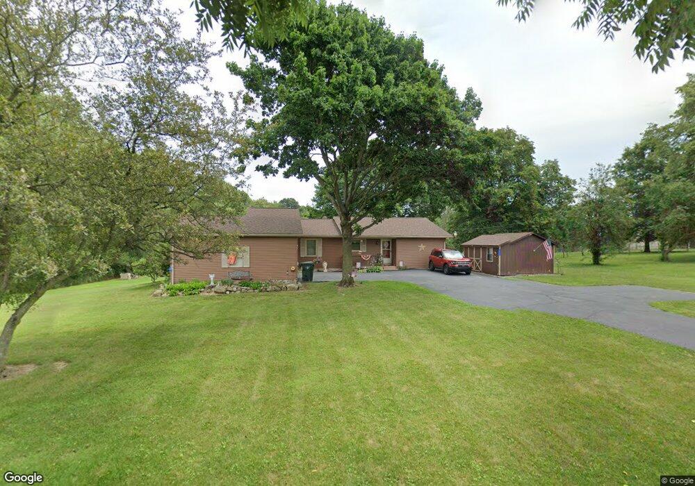
12240 Reeder Ave NE Alliance, OH 44601
Estimated Value: $207,281 - $331,000
2
Beds
1
Bath
1,392
Sq Ft
$189/Sq Ft
Est. Value
About This Home
This home is located at 12240 Reeder Ave NE, Alliance, OH 44601 and is currently estimated at $263,570, approximately $189 per square foot. 12240 Reeder Ave NE is a home located in Stark County with nearby schools including Marlington High School.
Ownership History
Date
Name
Owned For
Owner Type
Purchase Details
Closed on
Aug 19, 2009
Sold by
Blake Ricky L
Bought by
Blake Theresa L
Current Estimated Value
Purchase Details
Closed on
Sep 27, 1996
Sold by
Mcalister Carl
Bought by
Blake Richy L and Blake Theresa L
Home Financials for this Owner
Home Financials are based on the most recent Mortgage that was taken out on this home.
Original Mortgage
$74,900
Outstanding Balance
$6,804
Interest Rate
7.97%
Mortgage Type
FHA
Estimated Equity
$256,766
Create a Home Valuation Report for This Property
The Home Valuation Report is an in-depth analysis detailing your home's value as well as a comparison with similar homes in the area
Home Values in the Area
Average Home Value in this Area
Purchase History
| Date | Buyer | Sale Price | Title Company |
|---|---|---|---|
| Blake Theresa L | -- | Attorney | |
| Blake Richy L | $75,000 | -- |
Source: Public Records
Mortgage History
| Date | Status | Borrower | Loan Amount |
|---|---|---|---|
| Open | Blake Richy L | $74,900 |
Source: Public Records
Tax History Compared to Growth
Tax History
| Year | Tax Paid | Tax Assessment Tax Assessment Total Assessment is a certain percentage of the fair market value that is determined by local assessors to be the total taxable value of land and additions on the property. | Land | Improvement |
|---|---|---|---|---|
| 2025 | -- | $65,910 | $14,110 | $51,800 |
| 2024 | -- | $65,910 | $14,110 | $51,800 |
| 2023 | $1,891 | $51,420 | $11,340 | $40,080 |
| 2022 | $1,898 | $51,420 | $11,340 | $40,080 |
| 2021 | $1,905 | $51,420 | $11,340 | $40,080 |
| 2020 | $1,736 | $42,950 | $9,560 | $33,390 |
| 2019 | $1,723 | $42,950 | $9,560 | $33,390 |
| 2018 | $1,645 | $42,950 | $9,560 | $33,390 |
| 2017 | $1,558 | $37,670 | $8,340 | $29,330 |
| 2016 | $1,559 | $37,670 | $8,340 | $29,330 |
| 2015 | $1,487 | $35,850 | $8,340 | $27,510 |
| 2014 | $1,401 | $31,230 | $7,250 | $23,980 |
| 2013 | $685 | $31,230 | $7,250 | $23,980 |
Source: Public Records
Map
Nearby Homes
- 12252 Snode St NE
- 12355 Edison St NE
- 12415 Snode St NE
- 0 Reeder Ave NE
- 11960 Freshley Ave NE
- 10666 Wilma Ave NE
- 13109 Edison St NE
- 0 New Milford Rd Unit 5119787
- 14920 Mccallum Ave NE
- 0 Meadow St NE
- 11480 Aebi Ave NE
- 13334 Cindy St NE
- 5615 Laubert Rd
- 90 N Jefferson St
- 4829 Laubert Rd
- 0 W Main St Unit 5090123
- 7377 Pontius St NE
- 14422 Sturbridge Rd NE
- 000 Klinger Ave
- 1430 Westwood Ave
- 12198 Reeder Ave NE
- 12251 Reeder Ave NE
- 10544 Edison St NE
- 12126 Reeder Ave NE
- 10594 Edison St NE
- 10616 Edison St NE
- 10644 Edison St NE
- 12072 Reeder Ave NE
- 10333 Edison St NE
- 10655 Edison St NE
- 12430 Reeder Ave NE
- 12430 Reeder Ave NE
- 12026 Reeder Ave NE
- 12459 Reeder Ave NE
- 12010 Reeder Ave NE
- 10732 Edison St NE
- 10252 Edison St NE
- 10281 Edison St NE
- 11982 Reeder Ave NE
- 11973 Reeder Ave NE