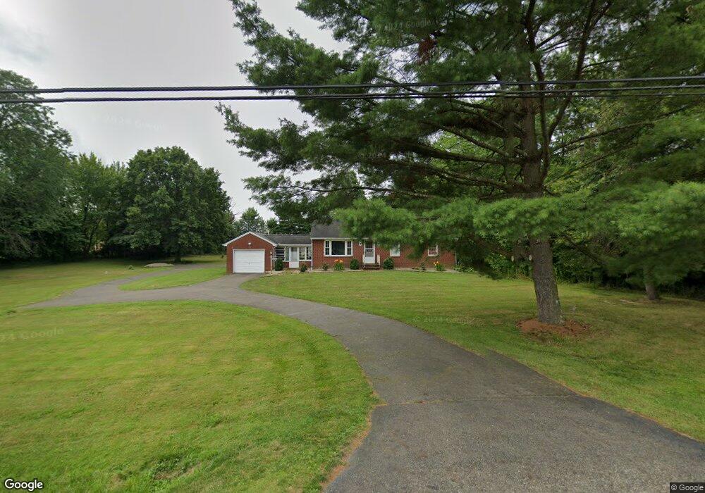
12244 Beeson St NE Alliance, OH 44601
Estimated Value: $191,000 - $218,481
3
Beds
1
Bath
1,764
Sq Ft
$115/Sq Ft
Est. Value
About This Home
This home is located at 12244 Beeson St NE, Alliance, OH 44601 and is currently estimated at $202,870, approximately $115 per square foot. 12244 Beeson St NE is a home located in Stark County with nearby schools including Marlington High School and Regina Coeli/St Joseph School.
Ownership History
Date
Name
Owned For
Owner Type
Purchase Details
Closed on
Nov 26, 2019
Sold by
Kibler Kathryn and The Mayer Family Revocable Liv
Bought by
Troyer Benjamin J
Current Estimated Value
Home Financials for this Owner
Home Financials are based on the most recent Mortgage that was taken out on this home.
Original Mortgage
$109,650
Outstanding Balance
$96,672
Interest Rate
3.6%
Mortgage Type
Future Advance Clause Open End Mortgage
Estimated Equity
$106,198
Purchase Details
Closed on
Jun 4, 1999
Sold by
Mayer John E and Mayer Mary L
Bought by
Mayer John E and Mayer Mary L
Create a Home Valuation Report for This Property
The Home Valuation Report is an in-depth analysis detailing your home's value as well as a comparison with similar homes in the area
Home Values in the Area
Average Home Value in this Area
Purchase History
| Date | Buyer | Sale Price | Title Company |
|---|---|---|---|
| Troyer Benjamin J | $129,000 | American Title Assc Agcy | |
| Mayer John E | -- | -- |
Source: Public Records
Mortgage History
| Date | Status | Borrower | Loan Amount |
|---|---|---|---|
| Open | Troyer Benjamin J | $109,650 |
Source: Public Records
Tax History Compared to Growth
Tax History
| Year | Tax Paid | Tax Assessment Tax Assessment Total Assessment is a certain percentage of the fair market value that is determined by local assessors to be the total taxable value of land and additions on the property. | Land | Improvement |
|---|---|---|---|---|
| 2025 | -- | $47,820 | $14,320 | $33,500 |
| 2024 | -- | $47,820 | $14,320 | $33,500 |
| 2023 | $1,577 | $44,670 | $13,270 | $31,400 |
| 2022 | $1,582 | $44,670 | $13,270 | $31,400 |
| 2021 | $1,587 | $44,670 | $13,270 | $31,400 |
| 2020 | $1,363 | $34,170 | $11,450 | $22,720 |
| 2019 | $1,008 | $34,180 | $11,450 | $22,730 |
| 2018 | $1,010 | $34,180 | $11,450 | $22,730 |
| 2017 | $904 | $30,040 | $8,510 | $21,530 |
| 2016 | $804 | $27,730 | $6,200 | $21,530 |
| 2015 | $766 | $27,730 | $6,200 | $21,530 |
| 2014 | $755 | $25,840 | $5,780 | $20,060 |
| 2013 | $376 | $25,840 | $5,780 | $20,060 |
Source: Public Records
Map
Nearby Homes
- 10666 Wilma Ave NE
- 13334 Cindy St NE
- 0 Meadow St NE
- 12355 Edison St NE
- 1430 Westwood Ave
- 11960 Freshley Ave NE
- 0 W Main St Unit 5090123
- 11480 Aebi Ave NE
- 2081 Marwood Cir
- 0 Reeder Ave NE
- 2377 Ansley St Unit 2377
- 13109 Edison St NE
- 12252 Snode St NE
- 12415 Snode St NE
- 000 Klinger Ave
- 2851 Patriots Path Unit 3D
- 2435 Queensbury Rd
- 432 Johnson Ave
- 1201 Overlook Dr
- 1038 Fairview Place
- 12280 Beeson St NE
- 12220 Beeson St NE
- 12170 Beeson St NE
- 12366 Beeson St NE
- 10533 Dot Ave NE
- 0 Beeson St NE Unit 3963277
- 0 Beeson St NE Unit 3933099
- 12390 Beeson St NE
- 10545 Dot Ave NE
- 10567 Dot Ave NE
- 12414 Beeson St NE
- 10585 Dot Ave NE
- 12080 Beeson St NE
- 10530 Dot Ave NE
- 10605 Dot Ave NE
- 10544 Dot Ave NE
- 10570 Dot Ave NE
- 10625 Dot Ave NE
- 10588 Dot Ave NE
- 12464 Beeson St NE