12246 Railroad St Blvd Millersport, OH 43046
Estimated Value: $426,000 - $636,000
4
Beds
3
Baths
2,404
Sq Ft
$215/Sq Ft
Est. Value
About This Home
This home is located at 12246 Railroad St Blvd, Millersport, OH 43046 and is currently estimated at $516,667, approximately $214 per square foot. 12246 Railroad St Blvd is a home with nearby schools including Millersport Elementary School and Millersport Jr/Sr High School.
Ownership History
Date
Name
Owned For
Owner Type
Purchase Details
Closed on
Sep 27, 1995
Sold by
Wolfe Clark C
Bought by
Bruckelmeyer Michael J and Bruckelmeyer Julie A
Current Estimated Value
Home Financials for this Owner
Home Financials are based on the most recent Mortgage that was taken out on this home.
Original Mortgage
$148,650
Outstanding Balance
$6,652
Interest Rate
6.88%
Mortgage Type
New Conventional
Estimated Equity
$510,015
Create a Home Valuation Report for This Property
The Home Valuation Report is an in-depth analysis detailing your home's value as well as a comparison with similar homes in the area
Home Values in the Area
Average Home Value in this Area
Purchase History
| Date | Buyer | Sale Price | Title Company |
|---|---|---|---|
| Bruckelmeyer Michael J | $27,000 | -- |
Source: Public Records
Mortgage History
| Date | Status | Borrower | Loan Amount |
|---|---|---|---|
| Open | Bruckelmeyer Michael J | $148,650 |
Source: Public Records
Tax History Compared to Growth
Tax History
| Year | Tax Paid | Tax Assessment Tax Assessment Total Assessment is a certain percentage of the fair market value that is determined by local assessors to be the total taxable value of land and additions on the property. | Land | Improvement |
|---|---|---|---|---|
| 2024 | $8,230 | $117,910 | $18,870 | $99,040 |
| 2023 | $5,359 | $117,910 | $18,870 | $99,040 |
| 2022 | $5,386 | $117,910 | $18,870 | $99,040 |
| 2021 | $4,443 | $85,670 | $15,830 | $69,840 |
| 2020 | $4,458 | $85,670 | $15,830 | $69,840 |
| 2019 | $4,459 | $85,670 | $15,830 | $69,840 |
| 2018 | $4,076 | $67,070 | $12,310 | $54,760 |
| 2017 | $4,077 | $69,720 | $12,310 | $57,410 |
| 2016 | $3,807 | $69,720 | $12,310 | $57,410 |
| 2015 | $3,737 | $67,160 | $12,310 | $54,850 |
| 2014 | $3,144 | $67,160 | $12,310 | $54,850 |
| 2013 | $3,144 | $67,160 | $12,310 | $54,850 |
Source: Public Records
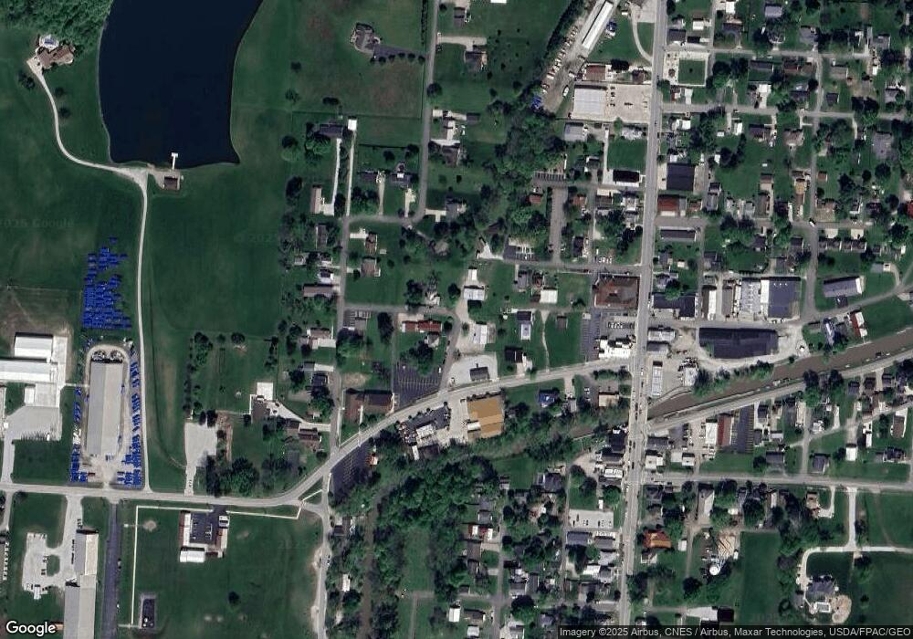
Map
Nearby Homes
- 11999 Broad St
- 2595 Canal Dr
- 2592 Summit St
- 2485 Mallard Point Ln
- 2484 Mallard Point Ln
- 2486 Mallard Point Ln
- 12291 Ohio Ave
- 11751 Lancaster St
- 0 Blacklick-Eastern Rd NE
- 2583 Mallard Point Ln
- 12055 7th Ave
- 12656 W Bank Dr NE
- 12580 W Bank Dr NE
- 11253 Millersport Rd
- 12946 W Bank Dr NE
- 3317 S Bank Rd NE
- 3333 S Bank Rd NE
- 3424 S Bank Rd NE
- 3427 S Bank Rd NE
- 13180 W Bank Dr NE
- 12246 Wolfe Blvd
- 12250 Wolfe Blvd
- 2364 Weekly Ave
- 2420 Friend St
- 12122 Railroad St
- 12268 Wolfe Blvd
- 12186 Lecrone Ave
- 12180 Lecrone Ave
- 12243 Wolfe Blvd
- 2365 Weekly Ave
- 2422 Friend St
- 2423 Friend St
- 12288 Wolfe Blvd
- 12114 Railroad St
- 12105 Railroad St
- 12225 Wolfe Blvd
- 2433 Hancock St
- 2315 Weekly Ave
- 2433 Friend St
- 12300 Wolfe Blvd