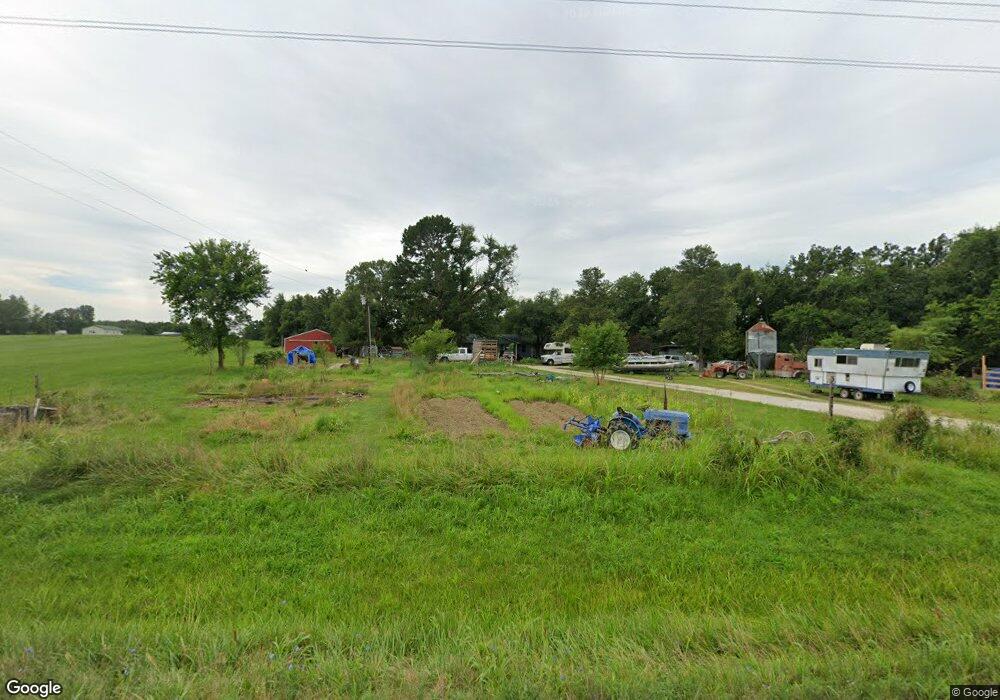
12249 Highway 63 S Vienna, MO 65582
Estimated Value: $175,179 - $229,000
3
Beds
--
Bath
1,412
Sq Ft
$137/Sq Ft
Est. Value
About This Home
This home is located at 12249 Highway 63 S, Vienna, MO 65582 and is currently estimated at $193,393, approximately $136 per square foot. 12249 Highway 63 S is a home with nearby schools including Vienna Elementary School and Vienna High School.
Ownership History
Date
Name
Owned For
Owner Type
Purchase Details
Closed on
Aug 12, 2013
Sold by
Paterson Pat and Paterson Lee Ann
Bought by
Hoelscher Thomas A
Current Estimated Value
Home Financials for this Owner
Home Financials are based on the most recent Mortgage that was taken out on this home.
Original Mortgage
$95,000
Outstanding Balance
$61,957
Interest Rate
4.49%
Mortgage Type
VA
Estimated Equity
$131,436
Purchase Details
Closed on
Mar 6, 2013
Sold by
Davis Tracee Lynn and Davis Billy
Bought by
Paterson Pat and Paterson Leeann
Home Financials for this Owner
Home Financials are based on the most recent Mortgage that was taken out on this home.
Original Mortgage
$81,000
Interest Rate
3.59%
Mortgage Type
Future Advance Clause Open End Mortgage
Create a Home Valuation Report for This Property
The Home Valuation Report is an in-depth analysis detailing your home's value as well as a comparison with similar homes in the area
Purchase History
We collect this data history from publicly available records. To have your information removed, we recommend requesting removal directly through your county’s website.
| Date | Buyer | Sale Price | Title Company |
|---|---|---|---|
| Hoelscher Thomas A | -- | None Available | |
| Paterson Pat | -- | None Available |
Source: Public Records
Mortgage History
We collect this data history from publicly available records. To have your information removed, we recommend requesting removal directly through your county’s website.
| Date | Status | Borrower | Loan Amount |
|---|---|---|---|
| Open | Hoelscher Thomas A | $95,000 | |
| Previous Owner | Paterson Pat | $81,000 |
Source: Public Records
Tax History
| Year | Tax Paid | Tax Assessment Tax Assessment Total Assessment is a certain percentage of the fair market value that is determined by local assessors to be the total taxable value of land and additions on the property. | Land | Improvement |
|---|---|---|---|---|
| 2025 | $748 | $14,710 | $0 | $0 |
| 2024 | $7 | $13,120 | $0 | $0 |
| 2023 | $665 | $13,120 | $0 | $0 |
| 2022 | $665 | $13,120 | $0 | $0 |
| 2020 | $667 | $13,120 | $0 | $0 |
| 2019 | $667 | $13,120 | $0 | $0 |
| 2018 | $657 | $12,960 | $0 | $0 |
| 2017 | $657 | $12,960 | $0 | $0 |
| 2016 | $616 | $12,960 | $0 | $0 |
| 2015 | -- | $12,960 | $0 | $0 |
| 2011 | -- | $0 | $0 | $0 |
Source: Public Records
Map
Nearby Homes
- 12784 Highway 28 W
- 13451 Maries Road 325
- 13451 Maries Road 325 Unit 22 Lot 37
- 436 8th St
- 185 State Highway 42
- 117 Highway V
- 16288 Maries Road 303
- 16292 Maries Road 303rd
- Lot 2 Gasconade Getaway
- 11600 Maries Road 336
- 11608 Maries Road 336
- 614 10th St
- 602 S Highway Us 63
- Lot 43 Gasconade Getaway
- 30963 U S 63
- 13908 Maries Road 616
- 10453 Maries Road 332
- 000 Highway Z
- 18444 Maries Road 540
- 33999 Highway 63 N
- 12247 Highway 63 S
- 12268 Highway 63 S
- 12267 Highway 63 S
- 12199 Highway 63 S
- 12296 Highway 63 S
- 12351 Highway 63 S
- 12367 Highway 63 S
- 12155 Highway 63 S
- 12141 Highway 63 S
- 12140 Highway 63 S
- 10840 Maries Road 329
- 10830 McR 329
- 10832 Maries Road 329
- 12450 Highway 28 W
- 12620 Highway 28 W
- 12394 Highway 28
- 12483 Highway 28
- 12342 Highway 28 W
- 12598 Highway 28 W
- 12072 U S 63
Your Personal Tour Guide
Ask me questions while you tour the home.