12249 Mayapple Dr Marriottsville, MD 21104
Estimated Value: $1,413,000 - $1,722,000
--
Bed
1
Bath
5,122
Sq Ft
$314/Sq Ft
Est. Value
About This Home
This home is located at 12249 Mayapple Dr, Marriottsville, MD 21104 and is currently estimated at $1,608,931, approximately $314 per square foot. 12249 Mayapple Dr is a home with nearby schools including West Friendship Elementary School, Mount View Middle School, and Marriotts Ridge High School.
Ownership History
Date
Name
Owned For
Owner Type
Purchase Details
Closed on
Dec 9, 2020
Sold by
Nvr Inc
Bought by
Nakkala Surender and Kodati Ratna Pratyusha
Current Estimated Value
Home Financials for this Owner
Home Financials are based on the most recent Mortgage that was taken out on this home.
Original Mortgage
$993,990
Outstanding Balance
$889,635
Interest Rate
3%
Mortgage Type
New Conventional
Estimated Equity
$719,296
Purchase Details
Closed on
Jun 26, 2020
Sold by
Esc Walker Meadows Lc
Bought by
Nvr Inc
Create a Home Valuation Report for This Property
The Home Valuation Report is an in-depth analysis detailing your home's value as well as a comparison with similar homes in the area
Home Values in the Area
Average Home Value in this Area
Purchase History
| Date | Buyer | Sale Price | Title Company |
|---|---|---|---|
| Nakkala Surender | $1,242,487 | Nvr Setmnt Svcs Of Md Inc | |
| Nvr Inc | $692,766 | Nvr Settlement Services |
Source: Public Records
Mortgage History
| Date | Status | Borrower | Loan Amount |
|---|---|---|---|
| Open | Nakkala Surender | $993,990 |
Source: Public Records
Tax History Compared to Growth
Tax History
| Year | Tax Paid | Tax Assessment Tax Assessment Total Assessment is a certain percentage of the fair market value that is determined by local assessors to be the total taxable value of land and additions on the property. | Land | Improvement |
|---|---|---|---|---|
| 2025 | $17,092 | $1,320,033 | $0 | $0 |
| 2024 | $17,092 | $1,211,000 | $224,900 | $986,100 |
| 2023 | $16,078 | $1,148,033 | $0 | $0 |
| 2022 | $15,184 | $1,085,067 | $0 | $0 |
| 2021 | $14,329 | $1,022,100 | $208,700 | $813,400 |
| 2020 | $2,649 | $183,700 | $183,700 | $0 |
| 2019 | $2,649 | $183,700 | $183,700 | $0 |
Source: Public Records
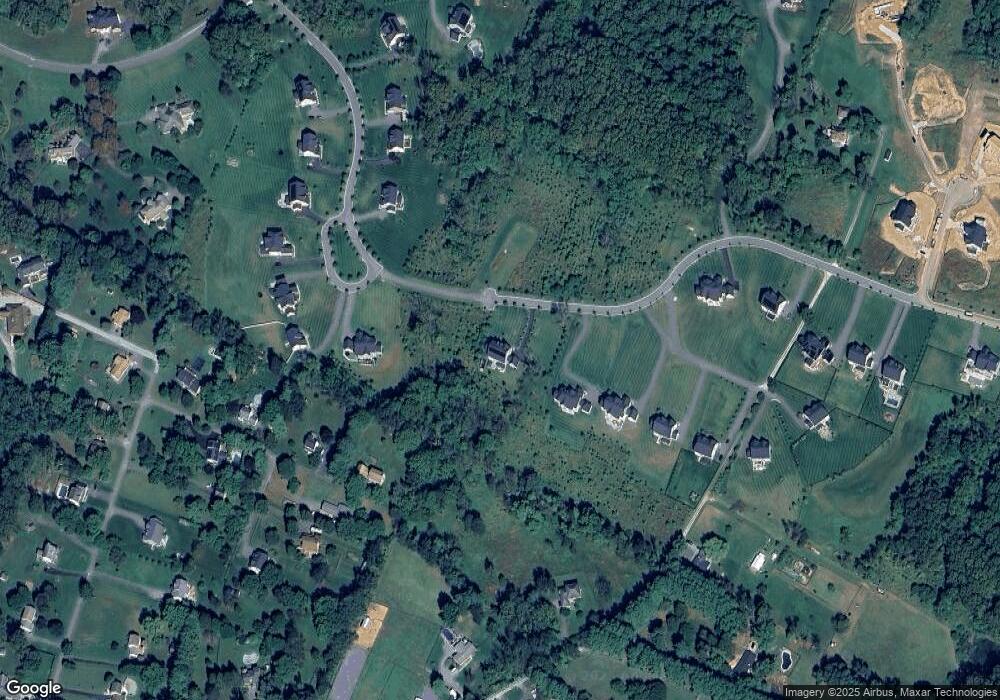
Map
Nearby Homes
- 11686 Old Frederick Rd
- 1546 Henryton Rd
- 2740 Emma Stone Dr
- 1725 Marriottsville Rd
- 12008 Mettee Rd
- 2241 John Gravel Rd Unit M
- 2231 John Gravel Rd Unit L
- 12017 Sand Hill Manor Dr
- 11150 Chambers Ct Unit H
- 11110 Chambers Ct Unit A
- 2350 Adam David Way
- 11100 Chambers Ct Unit C
- 11100 Chambers Ct Unit F
- 11100 Chambers Ct Unit K
- 1209 Crystal Ridge Rd
- 1336 Crows Foot Rd
- 1800 Mount Denali Dr
- 1020 Henryton Rd
- 10715 Taylor Farm Rd
- 10682 Hillingdon Rd
- 12233 Mayapple Dr
- 12245 Mayapple Dr
- 12213 Mayapple Dr
- 12225 Mayapple Dr
- 12201 Mayapple Dr
- 12229 Mayapple Dr
- 12216 Mayapple Dr
- 12217 Mayapple Dr
- 12221 Mayapple Dr
- 12237 Mayapple Dr
- 12209 Mayapple Dr
- 11535 Old Frederick Rd
- 11680 Old Frederick Rd
- 11690 Old Frederick Rd
- 11710 Old Frederick Rd
- 11730 Old Frederick Rd
- 11685 Old Frederick Rd
- 11718 Old Frederick Rd
- 11726 Old Frederick Rd
- 11722 Old Frederick Rd