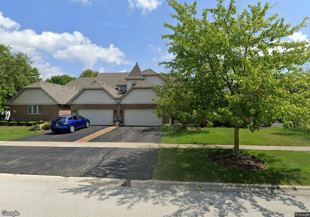
12249 Spire Dr Lemont, IL 60439
Hastings NeighborhoodEstimated Value: $449,911 - $578,000
2
Beds
3
Baths
2,036
Sq Ft
$241/Sq Ft
Est. Value
About This Home
This home is located at 12249 Spire Dr, Lemont, IL 60439 and is currently estimated at $490,228, approximately $240 per square foot. 12249 Spire Dr is a home located in Cook County with nearby schools including Oakwood School, River Valley School, and Old Quarry Middle School.
Ownership History
Date
Name
Owned For
Owner Type
Purchase Details
Closed on
Nov 23, 1999
Sold by
State Bank Of Countryside
Bought by
Mcmillen Zoe Ann
Current Estimated Value
Home Financials for this Owner
Home Financials are based on the most recent Mortgage that was taken out on this home.
Original Mortgage
$160,000
Outstanding Balance
$46,981
Interest Rate
7.25%
Estimated Equity
$443,247
Create a Home Valuation Report for This Property
The Home Valuation Report is an in-depth analysis detailing your home's value as well as a comparison with similar homes in the area
Home Values in the Area
Average Home Value in this Area
Purchase History
| Date | Buyer | Sale Price | Title Company |
|---|---|---|---|
| Mcmillen Zoe Ann | $196,000 | -- |
Source: Public Records
Mortgage History
| Date | Status | Borrower | Loan Amount |
|---|---|---|---|
| Open | Mcmillen Zoe Ann | $160,000 |
Source: Public Records
Tax History Compared to Growth
Tax History
| Year | Tax Paid | Tax Assessment Tax Assessment Total Assessment is a certain percentage of the fair market value that is determined by local assessors to be the total taxable value of land and additions on the property. | Land | Improvement |
|---|---|---|---|---|
| 2024 | $3,906 | $36,000 | $2,331 | $33,669 |
| 2023 | $4,707 | $36,000 | $2,331 | $33,669 |
| 2022 | $4,707 | $27,817 | $2,967 | $24,850 |
| 2021 | $4,443 | $27,816 | $2,966 | $24,850 |
| 2020 | $4,182 | $27,816 | $2,966 | $24,850 |
| 2019 | $4,496 | $34,313 | $2,966 | $31,347 |
| 2018 | $4,430 | $34,313 | $2,966 | $31,347 |
| 2017 | $4,288 | $34,313 | $2,966 | $31,347 |
| 2016 | $5,279 | $27,988 | $2,436 | $25,552 |
| 2015 | $5,629 | $27,988 | $2,436 | $25,552 |
| 2014 | $6,722 | $30,353 | $2,436 | $27,917 |
| 2013 | $5,771 | $28,016 | $2,436 | $25,580 |
Source: Public Records
Map
Nearby Homes
- 13815 Mccarthy Rd
- 13733 Steeples Rd
- 12655 Derry Dr
- 12659 Derry Dr
- 7 Loblolly Ct
- 12624 Derry Dr
- 12644 Derry Dr Unit 34201
- 12656 Derry Dr Unit 34402
- 12464 Portrush Ln
- 12456 Portrush Ln
- 12460 Portrush Ln
- 12468 Portrush Ln
- 12444 Portrush Ln
- 12440 Portrush Ln
- Abbeyville Plan at Gleneagles - Landings
- Westchester Plan at Gleneagles - Estates
- Continental Plan at Gleneagles - Meadows
- Woodside Plan at Gleneagles - Estates
- Waverly Plan at Gleneagles - Meadows
- Willwood Plan at Gleneagles - Estates
- 12243 Spire Dr
- 12255 Spire Dr
- 12237 Spire Dr
- 12231 Spire Dr
- 12225 Spire Dr
- 13857 Steepleview Ln
- 13911 Steepleview Ln
- 13851 Steepleview Ln
- 12236 Spire Dr
- 12219 Spire Dr
- 13886 Steepleview Ln
- 13886 Steepleview Ln Unit 1388
- 13880 Steepleview Ln
- 13892 Steepleview Ln
- 12230 Spire Dr
- 13874 Steepleview Ln
- 13917 Steepleview Ln
- 13898 Steepleview Ln
- 13868 Steepleview Ln
- 12224 Spire Dr