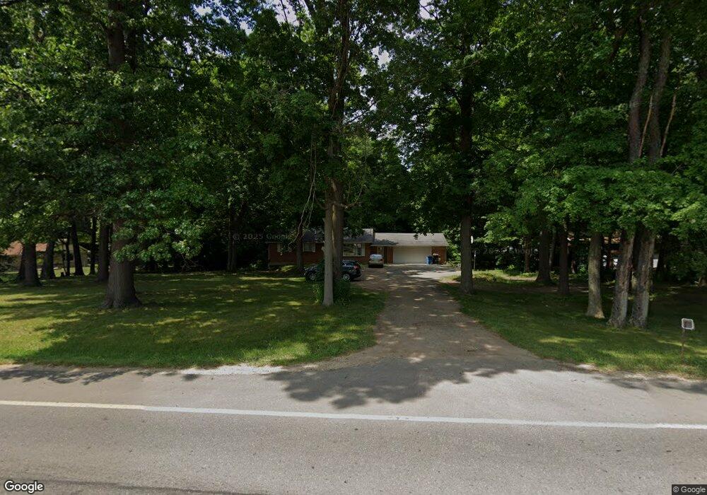
1225 102nd Ave Plainwell, MI 49080
Estimated Value: $356,000 - $416,000
4
Beds
3
Baths
1,708
Sq Ft
$229/Sq Ft
Est. Value
About This Home
This home is located at 1225 102nd Ave, Plainwell, MI 49080 and is currently estimated at $390,948, approximately $228 per square foot. 1225 102nd Ave is a home located in Allegan County with nearby schools including Plainwell High School, Otsego Christian Academy, and Peace Evangelical Lutheran School.
Ownership History
Date
Name
Owned For
Owner Type
Purchase Details
Closed on
Sep 30, 2011
Sold by
Dennany Anna M and Demory Anna M
Bought by
Bassett Jeffrey S and Bassett Lori L
Current Estimated Value
Home Financials for this Owner
Home Financials are based on the most recent Mortgage that was taken out on this home.
Original Mortgage
$131,577
Outstanding Balance
$89,732
Interest Rate
4.25%
Mortgage Type
FHA
Estimated Equity
$301,216
Purchase Details
Closed on
Jan 3, 2004
Sold by
Demory Alan E
Bought by
Demory Anna M
Purchase Details
Closed on
Aug 1, 1989
Bought by
Donald and Donald Maxine"
Purchase Details
Closed on
Dec 1, 1988
Sold by
Meyers Rex and Meyers Sandra
Bought by
Donald and Maxine Nichols
Purchase Details
Closed on
Jun 1, 1985
Sold by
Krisjanis Retter
Bought by
Rex Meyers
Create a Home Valuation Report for This Property
The Home Valuation Report is an in-depth analysis detailing your home's value as well as a comparison with similar homes in the area
Home Values in the Area
Average Home Value in this Area
Purchase History
| Date | Buyer | Sale Price | Title Company |
|---|---|---|---|
| Bassett Jeffrey S | $135,000 | Nta | |
| Demory Anna M | -- | -- | |
| Donald | -- | -- | |
| Donald | -- | -- | |
| Rex Meyers | $57,900 | -- | |
| Rex Meyers | $57,900 | -- |
Source: Public Records
Mortgage History
| Date | Status | Borrower | Loan Amount |
|---|---|---|---|
| Open | Bassett Jeffrey S | $131,577 |
Source: Public Records
Tax History
| Year | Tax Paid | Tax Assessment Tax Assessment Total Assessment is a certain percentage of the fair market value that is determined by local assessors to be the total taxable value of land and additions on the property. | Land | Improvement |
|---|---|---|---|---|
| 2025 | $3,031 | $170,000 | $20,900 | $149,100 |
| 2024 | $2,568 | $149,000 | $19,700 | $129,300 |
| 2023 | $2,612 | $128,100 | $19,300 | $108,800 |
| 2022 | $2,568 | $122,800 | $17,900 | $104,900 |
| 2021 | $2,431 | $116,700 | $17,200 | $99,500 |
| 2020 | $2,399 | $103,100 | $19,000 | $84,100 |
| 2019 | $2,090 | $95,700 | $14,800 | $80,900 |
| 2018 | $2,066 | $91,400 | $12,700 | $78,700 |
| 2017 | $0 | $89,700 | $11,900 | $77,800 |
| 2016 | $0 | $82,700 | $11,900 | $70,800 |
| 2015 | -- | $82,700 | $11,900 | $70,800 |
| 2014 | $3,492 | $78,600 | $12,000 | $66,600 |
| 2013 | $3,492 | $64,500 | $12,700 | $51,800 |
Source: Public Records
Map
Nearby Homes
- 1224 102nd Ave
- 1170 W Bridge St
- 355 12th St
- 551 W Bridge St
- 323 13th St
- 1248 Keith St
- 1056 Elmwood St
- 1046 Bronson Ave
- V/L Bronson Ave
- 426 W Bridge St
- 404 Park St
- 1006 Goodsell St
- 1009 Barton St
- 909 Barton St
- 140 W 1st Ave
- 10809 N 12th St
- 317 E Chart St
- 233 Washington Ave
- V/L N 12th St
- 721 E Bridge St
Your Personal Tour Guide
Ask me questions while you tour the home.