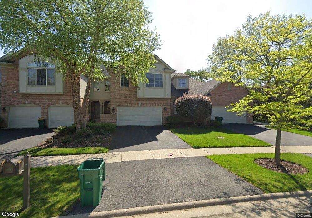
1225 Ashbury Dr Unit 21225 Lemont, IL 60439
Southeast Lemont NeighborhoodEstimated Value: $471,050 - $501,000
2
Beds
3
Baths
2,164
Sq Ft
$225/Sq Ft
Est. Value
About This Home
This home is located at 1225 Ashbury Dr Unit 21225, Lemont, IL 60439 and is currently estimated at $486,263, approximately $224 per square foot. 1225 Ashbury Dr Unit 21225 is a home located in Cook County with nearby schools including Oakwood School, River Valley School, and Old Quarry Middle School.
Ownership History
Date
Name
Owned For
Owner Type
Purchase Details
Closed on
Apr 26, 2004
Sold by
Ashbury Woods Development Llc
Bought by
Lizotte Gary and Lizotte Susan
Current Estimated Value
Home Financials for this Owner
Home Financials are based on the most recent Mortgage that was taken out on this home.
Original Mortgage
$250,000
Outstanding Balance
$121,240
Interest Rate
5.99%
Mortgage Type
Unknown
Estimated Equity
$365,023
Create a Home Valuation Report for This Property
The Home Valuation Report is an in-depth analysis detailing your home's value as well as a comparison with similar homes in the area
Home Values in the Area
Average Home Value in this Area
Purchase History
| Date | Buyer | Sale Price | Title Company |
|---|---|---|---|
| Lizotte Gary | $352,000 | Cti |
Source: Public Records
Mortgage History
| Date | Status | Borrower | Loan Amount |
|---|---|---|---|
| Open | Lizotte Gary | $250,000 |
Source: Public Records
Tax History Compared to Growth
Tax History
| Year | Tax Paid | Tax Assessment Tax Assessment Total Assessment is a certain percentage of the fair market value that is determined by local assessors to be the total taxable value of land and additions on the property. | Land | Improvement |
|---|---|---|---|---|
| 2024 | $6,865 | $39,000 | $1,374 | $37,626 |
| 2023 | $6,288 | $39,000 | $1,374 | $37,626 |
| 2022 | $6,288 | $29,320 | $1,216 | $28,104 |
| 2021 | $6,116 | $29,318 | $1,215 | $28,103 |
| 2020 | $6,235 | $29,318 | $1,215 | $28,103 |
| 2019 | $6,971 | $33,567 | $1,215 | $32,352 |
| 2018 | $6,855 | $33,567 | $1,215 | $32,352 |
| 2017 | $7,733 | $37,884 | $1,215 | $36,669 |
| 2016 | $6,097 | $28,322 | $1,004 | $27,318 |
| 2015 | $6,158 | $28,322 | $1,004 | $27,318 |
| 2014 | $6,230 | $28,322 | $1,004 | $27,318 |
| 2013 | $5,796 | $28,126 | $1,004 | $27,122 |
Source: Public Records
Map
Nearby Homes
- 1409 Notting Hill Dr
- 1213 Prairie Ln
- 1382 Overton Dr
- 1200 Prairie Ln Unit 1-A
- 1224 Prairie Ln
- 1228 Prairie Ln Unit 4B
- 1228 Prairie Ln
- 1232 Prairie Ln Unit 5-A
- 1236 Prairie Ln Unit 5-B
- 1408 Ashbury Dr
- 12830 Marble St Unit 25A
- Fremont Plan at Covington Knolls
- Eden Plan at Covington Knolls
- Danbury Plan at Covington Knolls
- Calysta Plan at Covington Knolls
- Briarcliffe Plan at Covington Knolls
- Amberwood Plan at Covington Knolls
- 1341 Ashbury Cir
- 12853 Marble St Unit 27A
- 1078 Amber Dr
- 1221 Ashbury Dr
- 1229 Ashbury Dr Unit 21229
- 1217 Ashbury Dr
- 16511 Kayla Dr
- 16501 Kayla Dr
- 16591 Kayla Dr
- 15200 E 127th St
- 15200 E 127th St
- 1340 Chestnut Crossing
- 1209 Ashbury Dr
- 1205 Ashbury Dr
- 1213 Ashbury Dr
- 522 Ashbury Ln Unit 5522
- 1350 Chestnut Crossing
- 1201 Ashbury Dr
- 518 Ashbury Ln
- 1360 Chestnut Crossing
- 15120 E 127th St
- 514 Ashbury Ln
- 1226 Ashbury Dr Unit 31226