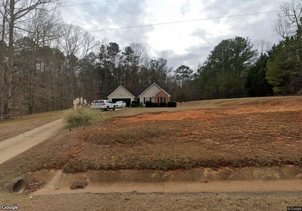
1225 Austin Rd Ellenwood, GA 30294
Estimated Value: $230,000 - $313,000
3
Beds
2
Baths
1,476
Sq Ft
$180/Sq Ft
Est. Value
About This Home
This home is located at 1225 Austin Rd, Ellenwood, GA 30294 and is currently estimated at $265,851, approximately $180 per square foot. 1225 Austin Rd is a home located in Henry County with nearby schools including Austin Road Elementary School, Austin Road Middle School, and Woodland High School.
Ownership History
Date
Name
Owned For
Owner Type
Purchase Details
Closed on
May 15, 2002
Sold by
J & F Hms Inc
Bought by
Hughes Christopher D
Current Estimated Value
Home Financials for this Owner
Home Financials are based on the most recent Mortgage that was taken out on this home.
Original Mortgage
$121,600
Outstanding Balance
$51,528
Interest Rate
6.98%
Mortgage Type
FHA
Estimated Equity
$214,323
Purchase Details
Closed on
Nov 20, 2001
Sold by
Triad Inv Llc
Bought by
Potts Frank
Home Financials for this Owner
Home Financials are based on the most recent Mortgage that was taken out on this home.
Original Mortgage
$91,988
Interest Rate
6.59%
Mortgage Type
New Conventional
Purchase Details
Closed on
Nov 10, 2000
Sold by
Triad Inv Llc
Bought by
Potts Frank W
Home Financials for this Owner
Home Financials are based on the most recent Mortgage that was taken out on this home.
Original Mortgage
$89,925
Interest Rate
7.87%
Mortgage Type
New Conventional
Create a Home Valuation Report for This Property
The Home Valuation Report is an in-depth analysis detailing your home's value as well as a comparison with similar homes in the area
Home Values in the Area
Average Home Value in this Area
Purchase History
| Date | Buyer | Sale Price | Title Company |
|---|---|---|---|
| Hughes Christopher D | $122,700 | -- | |
| Potts Frank | $25,000 | -- | |
| Potts Frank W | $25,000 | -- |
Source: Public Records
Mortgage History
| Date | Status | Borrower | Loan Amount |
|---|---|---|---|
| Open | Hughes Christopher D | $121,600 | |
| Previous Owner | Potts Frank | $91,988 | |
| Previous Owner | Potts Frank W | $89,925 |
Source: Public Records
Tax History Compared to Growth
Tax History
| Year | Tax Paid | Tax Assessment Tax Assessment Total Assessment is a certain percentage of the fair market value that is determined by local assessors to be the total taxable value of land and additions on the property. | Land | Improvement |
|---|---|---|---|---|
| 2025 | $4,708 | $118,080 | $15,680 | $102,400 |
| 2024 | $4,708 | $107,200 | $14,240 | $92,960 |
| 2023 | $4,289 | $110,760 | $13,680 | $97,080 |
| 2022 | $3,201 | $82,400 | $12,640 | $69,760 |
| 2021 | $2,515 | $64,520 | $10,840 | $53,680 |
| 2020 | $2,274 | $58,240 | $10,200 | $48,040 |
| 2019 | $2,036 | $52,040 | $9,680 | $42,360 |
| 2018 | $1,923 | $49,080 | $8,960 | $40,120 |
| 2016 | $1,373 | $34,760 | $7,000 | $27,760 |
| 2015 | $1,222 | $29,880 | $7,080 | $22,800 |
| 2014 | $1,193 | $28,800 | $7,080 | $21,720 |
Source: Public Records
Map
Nearby Homes
- 429 Saint Surrey Way
- 0 Kingsbrook Dr Unit 19 LOTS 10399843
- 160 Chapel Ridge Dr
- 500 Saint Sambar Dr
- 116 Kalsum Trail
- 176 Fairoaks Cir
- 168 Chapel Ridge Dr
- 4241 Hearn Rd
- 565 Scarborough Rd
- 106 Garden Trail
- 444 Cauthen Ct
- 130 Fairview Dr
- 5520 Hearn Rd
- 204 Benefield Ct
- 80 Sandy Dr
- 107 S Circle Dr
- 313 Ashborough Place
- 103 N Circle Dr
- 120 Bunnie Trail
- 1414 Panola Rd
- 1235 Austin Rd
- 0 Darlington Dr Unit 9026385
- 0 Darlington Dr Unit 9026431
- 1245 Austin Rd
- 1109 Austin Rd
- 544 Saint Sambar Dr Unit 78
- 544 St Sambar
- 544 Saint Sambar Dr
- 1255 Austin Rd
- 543 Saint Sambar Dr Unit 79
- 543 Saint Sambar Dr
- 1040 Austin Rd
- 535 Saint Sambar Dr Unit 81
- 535 Saint Sambar Dr
- 535 Saint Sambar Dr
- 539 Saint Sambar Dr Unit 80
- 539 St Sambar
- 539 Saint Sambar Dr
- 1265 Austin Rd
- 1275 Austin Rd