1225 Carnahan Ct Monument, CO 80132
Kings Deer NeighborhoodEstimated Value: $1,221,940 - $1,535,000
4
Beds
4
Baths
5,738
Sq Ft
$244/Sq Ft
Est. Value
About This Home
This home is located at 1225 Carnahan Ct, Monument, CO 80132 and is currently estimated at $1,400,235, approximately $244 per square foot. 1225 Carnahan Ct is a home located in El Paso County with nearby schools including Prairie Winds Elementary School, Lewis-Palmer Middle School, and Lewis-Palmer High School.
Ownership History
Date
Name
Owned For
Owner Type
Purchase Details
Closed on
Dec 27, 2012
Sold by
Maixner Robert J and Maixner Geraldine
Bought by
Gilzean Susan M and Corral Rudy F
Current Estimated Value
Home Financials for this Owner
Home Financials are based on the most recent Mortgage that was taken out on this home.
Original Mortgage
$417,000
Outstanding Balance
$289,941
Interest Rate
3.37%
Mortgage Type
New Conventional
Estimated Equity
$1,110,294
Purchase Details
Closed on
Jul 31, 1998
Sold by
Higby Project Llc
Bought by
Maixner Robert J and Maixner Geraldine
Home Financials for this Owner
Home Financials are based on the most recent Mortgage that was taken out on this home.
Original Mortgage
$72,000
Interest Rate
9.5%
Mortgage Type
Purchase Money Mortgage
Create a Home Valuation Report for This Property
The Home Valuation Report is an in-depth analysis detailing your home's value as well as a comparison with similar homes in the area
Home Values in the Area
Average Home Value in this Area
Purchase History
| Date | Buyer | Sale Price | Title Company |
|---|---|---|---|
| Gilzean Susan M | $600,000 | Empire Title Co Springs Llc | |
| Maixner Robert J | $90,000 | Security Title |
Source: Public Records
Mortgage History
| Date | Status | Borrower | Loan Amount |
|---|---|---|---|
| Open | Gilzean Susan M | $417,000 | |
| Previous Owner | Maixner Robert J | $72,000 |
Source: Public Records
Tax History
| Year | Tax Paid | Tax Assessment Tax Assessment Total Assessment is a certain percentage of the fair market value that is determined by local assessors to be the total taxable value of land and additions on the property. | Land | Improvement |
|---|---|---|---|---|
| 2025 | $4,684 | $80,810 | -- | -- |
| 2024 | $4,571 | $74,810 | $21,090 | $53,720 |
| 2023 | $4,571 | $74,810 | $21,090 | $53,720 |
| 2022 | $4,255 | $62,890 | $15,720 | $47,170 |
| 2021 | $4,403 | $64,710 | $16,180 | $48,530 |
| 2020 | $4,059 | $57,210 | $13,570 | $43,640 |
| 2019 | $4,039 | $57,210 | $13,570 | $43,640 |
| 2018 | $3,783 | $50,760 | $11,450 | $39,310 |
| 2017 | $3,783 | $50,760 | $11,450 | $39,310 |
| 2016 | $3,706 | $53,110 | $13,330 | $39,780 |
| 2015 | $3,703 | $53,110 | $13,330 | $39,780 |
| 2014 | $3,656 | $50,100 | $17,780 | $32,320 |
Source: Public Records
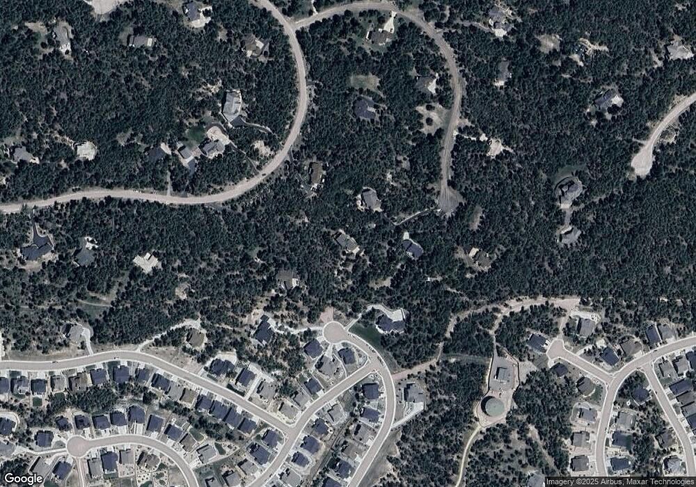
Map
Nearby Homes
- 16474 Morning Rise Ln
- 1070 Panoramic Dr
- 16445 Mountain Glory Dr
- 16428 Mountain Glory Dr
- 16267 Thunder Cat Way
- 17507 Colonial Park Dr
- 1250 Dolan Dr
- 16320 Sunset Peak Ln
- 16231 Thunder Cat Way
- 16496 Woodward Terrace
- 16496 Florawood Place
- 724 Sage Forest Ln
- 1716 Catnap Ln
- 1797 Summerglow Ln
- 1734 Summerglow Ln
- 1670 Summerglow Ln
- 1004 Tree Bark Terrace
- 16150 Cliffrock Ct
- 17075 Viscount Ct
- 16198 Sunset Splendor Ln
- 1207 Carnahan Ct
- 17528 Colonial Park Dr
- 1243 Carnahan Ct
- 17532 Colonial Park Dr
- 16438 Morning Rise Ln
- 16421 Morning Rise Ln
- 16492 Morning Rise Ln
- 16456 Morning Rise Ln
- 17536 Colonial Park Dr
- 17524 Colonial Park Dr
- 1244 Carnahan Ct
- 16460 Mountain Glory Dr
- 16402 Morning Rise Ln
- 17523 Colonial Park Dr
- 16452 Mountain Glory Dr
- 1018 Panoramic Dr
- 17531 Colonial Park Dr
- 16461 Mountain Glory Dr
- 1189 Carnahan Ct
- 16384 Morning Rise Ln
Your Personal Tour Guide
Ask me questions while you tour the home.