Estimated Value: $470,000 - $518,000
5
Beds
4
Baths
3,409
Sq Ft
$143/Sq Ft
Est. Value
About This Home
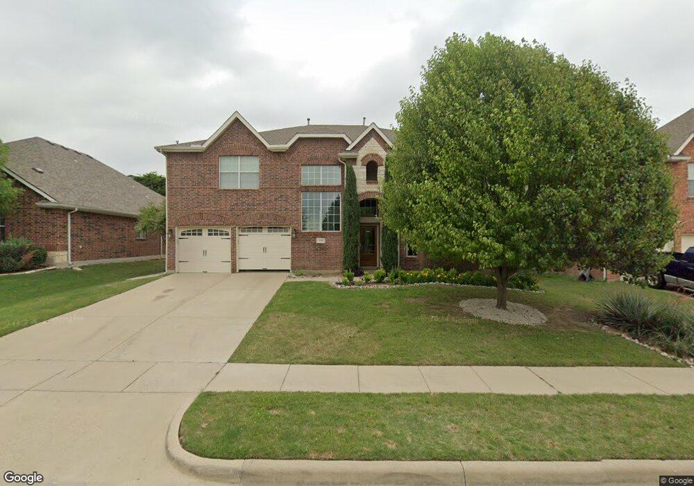
This home is located at 1225 Cedar Branch Dr, Wylie, TX 75098 and is currently estimated at $488,559, approximately $143 per square foot. 1225 Cedar Branch Dr is a home located in Collin County with nearby schools including Wally Watkins Elementary School, AB Harrison Intermediate School, and Grady Burnett J High School.
Ownership History
Date
Name
Owned For
Owner Type
Purchase Details
Closed on
May 7, 2012
Sold by
Federal Home Loan Mortgage Corporation
Bought by
Douglas Pamela S
Current Estimated Value
Home Financials for this Owner
Home Financials are based on the most recent Mortgage that was taken out on this home.
Original Mortgage
$205,214
Interest Rate
3.8%
Mortgage Type
FHA
Purchase Details
Closed on
Feb 7, 2012
Sold by
Zavala Alejandro D and Zavala Cathy L
Bought by
Federal Home Loan Mortgage Corp
Purchase Details
Closed on
Feb 22, 2007
Sold by
First Mortgage Of America Ltd
Bought by
Zavala Alejandro D and Chacon Cathy L
Home Financials for this Owner
Home Financials are based on the most recent Mortgage that was taken out on this home.
Original Mortgage
$169,852
Interest Rate
6.21%
Create a Home Valuation Report for This Property
The Home Valuation Report is an in-depth analysis detailing your home's value as well as a comparison with similar homes in the area
Home Values in the Area
Average Home Value in this Area
Purchase History
| Date | Buyer | Sale Price | Title Company |
|---|---|---|---|
| Douglas Pamela S | -- | Rtt | |
| Federal Home Loan Mortgage Corp | $167,929 | None Available | |
| Zavala Alejandro D | -- | Atc |
Source: Public Records
Mortgage History
| Date | Status | Borrower | Loan Amount |
|---|---|---|---|
| Previous Owner | Douglas Pamela S | $205,214 | |
| Previous Owner | Zavala Alejandro D | $169,852 |
Source: Public Records
Tax History Compared to Growth
Tax History
| Year | Tax Paid | Tax Assessment Tax Assessment Total Assessment is a certain percentage of the fair market value that is determined by local assessors to be the total taxable value of land and additions on the property. | Land | Improvement |
|---|---|---|---|---|
| 2025 | $5,648 | $497,794 | $115,500 | $384,524 |
| 2024 | $5,648 | $452,540 | $115,500 | $371,161 |
| 2023 | $5,648 | $411,400 | $104,500 | $385,431 |
| 2022 | $8,205 | $374,000 | $88,000 | $323,728 |
| 2021 | $8,000 | $340,000 | $77,000 | $263,000 |
| 2020 | $8,085 | $325,625 | $66,000 | $259,625 |
| 2019 | $8,432 | $320,871 | $66,000 | $254,871 |
| 2018 | $8,591 | $319,000 | $60,500 | $258,500 |
| 2017 | $7,908 | $302,668 | $49,500 | $253,168 |
| 2016 | $7,417 | $280,532 | $44,000 | $236,532 |
| 2015 | $5,985 | $252,448 | $44,000 | $208,448 |
Source: Public Records
Map
Nearby Homes
- 1210 Iron Horse St
- 1201 E Stone Rd
- 1318 Chestnut Hill Dr
- 1320 Cedar Branch Dr
- 1321 Iron Horse St
- 306 Foxwood Ct
- 1323 Canyon Creek Rd
- 407 Sparrow Dr
- 312 Maltese Cir
- 1316 Taren Trail
- 1318 Taren Trail
- 1330 Canyon Creek Rd
- 825 Forest Edge Ln
- 1503 E Collins Blvd
- 1209 Surrey Cir
- 1115 Nighthawk Dr
- 1210 Troy Rd
- 409 Cedar Ridge Dr
- 825 Foxwood Ln
- 820 Foxwood Ln
- 1227 Cedar Branch Dr
- 1221 Cedar Branch Dr
- 1229 Cedar Branch Dr
- 1216 Cedar Branch Dr
- 1214 Cedar Branch Dr
- 1218 Cedar Branch Dr
- 1219 Cedar Branch Dr
- 1212 Cedar Branch Dr
- 1220 Cedar Branch Dr
- 1231 Cedar Branch Dr
- 1210 Cedar Branch Dr
- 1217 Cedar Branch Dr
- 1303 Clear Creek Dr
- 1222 Cedar Branch Dr
- 1211 Chestnut Hill Dr
- 1209 Chestnut Hill Dr
- 1305 Clear Creek Dr
- 1213 Chestnut Hill Dr
- 1208 Cedar Branch Dr
- 1207 Chestnut Hill Dr