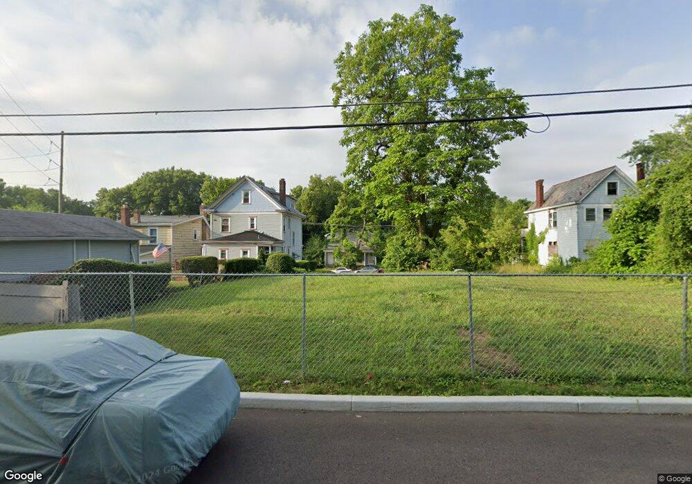
1225 Foraker Ave Cincinnati, OH 45206
Walnut Hills NeighborhoodEstimated Value: $98,183
Studio
--
Bath
--
Sq Ft
1,960
Sq Ft Lot
About This Home
This home is located at 1225 Foraker Ave, Cincinnati, OH 45206 and is currently estimated at $98,183. 1225 Foraker Ave is a home located in Hamilton County with nearby schools including Frederick Douglass Elementary School, Clark Montessori High School, and Robert A. Taft Information Technology High School.
Ownership History
Date
Name
Owned For
Owner Type
Purchase Details
Closed on
May 20, 2020
Sold by
Hamilton County Land Reutilization Corp
Bought by
Walnut Hills Cemetery Assn Of Cincinnati
Current Estimated Value
Purchase Details
Closed on
Dec 17, 2019
Sold by
Thomas Ruth Ann
Bought by
Hamilton County Land Reutilization Corp
Purchase Details
Closed on
Sep 14, 1998
Sold by
Gray Joseph E and Gray Gerald J
Bought by
Stock Gayle
Create a Home Valuation Report for This Property
The Home Valuation Report is an in-depth analysis detailing your home's value as well as a comparison with similar homes in the area
Home Values in the Area
Average Home Value in this Area
Purchase History
| Date | Buyer | Sale Price | Title Company |
|---|---|---|---|
| Walnut Hills Cemetery Assn Of Cincinnati | -- | None Available | |
| Hamilton County Land Reutilization Corp | -- | None Available | |
| Stock Gayle | $14,000 | -- |
Source: Public Records
Tax History
| Year | Tax Paid | Tax Assessment Tax Assessment Total Assessment is a certain percentage of the fair market value that is determined by local assessors to be the total taxable value of land and additions on the property. | Land | Improvement |
|---|---|---|---|---|
| 2025 | $12 | $3,224 | $3,224 | -- |
| 2024 | $12 | $3,224 | $3,224 | -- |
| 2023 | $12 | $3,224 | $3,224 | $0 |
| 2022 | $126 | $1,617 | $1,617 | $0 |
| 2021 | $120 | $1,617 | $1,617 | $0 |
| 2020 | $8 | $1,617 | $1,617 | $0 |
| 2019 | $131 | $1,617 | $1,617 | $0 |
| 2018 | $132 | $1,617 | $1,617 | $0 |
| 2017 | $126 | $1,617 | $1,617 | $0 |
| 2016 | $129 | $1,617 | $1,617 | $0 |
| 2015 | $116 | $1,617 | $1,617 | $0 |
| 2014 | $117 | $1,617 | $1,617 | $0 |
| 2013 | $120 | $1,649 | $1,649 | $0 |
Source: Public Records
Map
Nearby Homes
- 1335 Lincoln Ave
- 3048 Gilbert Ave
- 2700 Ashland Ave
- 2703 Ashland Ave
- 1521 Merrimac St
- 1123 Yale Ave
- 860 Buena Vista Place
- 1541 Merrimac St
- 3024 Kerper Ave
- 3006 Woodburn Ave
- 3206 Gilbert Ave
- 1607 Everly Place
- 3008 Woodburn Ave
- 3010 Woodburn Ave
- 1608 Desales Ln
- 1608 De Sales Ln
- 1611 Everly Place
- 1613 Everly Place
- 1612 Desales Ln
- 1382 Burdette Ave
- 1226 Lincoln Ave
- 1224 Lincoln Ave
- 1222 Lincoln Ave
- 1218 Lincoln Ave
- 1228 Lincoln Ave
- 1216 Lincoln Ave
- 1214 Lincoln Ave
- 1225 Lincoln Ave
- 1206 Lincoln Ave
- 1233 Lincoln Ave
- 1204 Lincoln Ave
- 1219 Lincoln Ave
- 1235 Lincoln Ave
- 1239 Lincoln Ave
- 1237 Lincoln Ave
- 1241 Lincoln Ave
- 1236 Whitlow St
- 1152 Foraker Ave
- 2919 Ashland Ave
- 1142 Foraker Ave
Your Personal Tour Guide
Ask me questions while you tour the home.