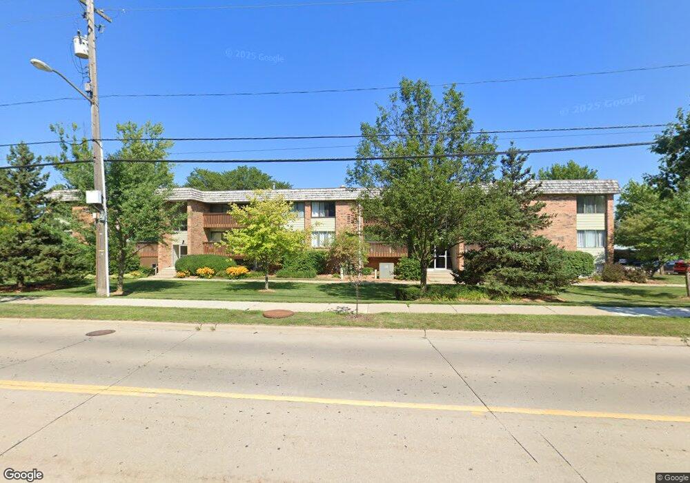
1225 S Maple Rd Unit 305 Ann Arbor, MI 48103
South Maple NeighborhoodEstimated Value: $189,203 - $264,000
2
Beds
2
Baths
1,173
Sq Ft
$184/Sq Ft
Est. Value
About This Home
This home is located at 1225 S Maple Rd Unit 305, Ann Arbor, MI 48103 and is currently estimated at $215,551, approximately $183 per square foot. 1225 S Maple Rd Unit 305 is a home located in Washtenaw County with nearby schools including Dicken Elementary School, Slauson Middle School, and Pioneer High School.
Ownership History
Date
Name
Owned For
Owner Type
Purchase Details
Closed on
Jun 1, 2004
Sold by
Moyer Diener David D and Moyer Diener Joanna E
Bought by
Sheppard Sophie
Current Estimated Value
Home Financials for this Owner
Home Financials are based on the most recent Mortgage that was taken out on this home.
Original Mortgage
$103,400
Outstanding Balance
$51,121
Interest Rate
6.17%
Mortgage Type
Stand Alone First
Estimated Equity
$164,430
Purchase Details
Closed on
Jun 26, 2000
Sold by
Verlee Phillip D
Bought by
Moyer-Diener David D
Create a Home Valuation Report for This Property
The Home Valuation Report is an in-depth analysis detailing your home's value as well as a comparison with similar homes in the area
Home Values in the Area
Average Home Value in this Area
Purchase History
| Date | Buyer | Sale Price | Title Company |
|---|---|---|---|
| Sheppard Sophie | $129,250 | -- | |
| Moyer-Diener David D | $95,000 | -- |
Source: Public Records
Mortgage History
| Date | Status | Borrower | Loan Amount |
|---|---|---|---|
| Open | Sheppard Sophie | $103,400 | |
| Closed | Sheppard Sophie | $12,925 |
Source: Public Records
Tax History
| Year | Tax Paid | Tax Assessment Tax Assessment Total Assessment is a certain percentage of the fair market value that is determined by local assessors to be the total taxable value of land and additions on the property. | Land | Improvement |
|---|---|---|---|---|
| 2025 | $2,137 | $99,100 | $0 | $0 |
| 2024 | $2,085 | $95,400 | $0 | $0 |
| 2023 | $1,922 | $90,200 | $0 | $0 |
| 2022 | $2,094 | $84,700 | $0 | $0 |
| 2021 | $2,045 | $84,500 | $0 | $0 |
| 2020 | $2,004 | $70,400 | $0 | $0 |
| 2019 | $1,907 | $59,100 | $59,100 | $0 |
| 2018 | $1,880 | $53,300 | $0 | $0 |
| 2017 | $1,829 | $53,100 | $0 | $0 |
| 2016 | $1,558 | $36,576 | $0 | $0 |
| 2015 | $1,680 | $36,467 | $0 | $0 |
| 2014 | $1,680 | $35,328 | $0 | $0 |
| 2013 | -- | $35,328 | $0 | $0 |
Source: Public Records
Map
Nearby Homes
- 1225 S Maple Rd Unit 307
- 1235 S Maple Rd Unit 101
- 1235 S Maple Rd Unit 302
- 1215 S Maple Rd Unit 202
- 1265 S Maple Rd Unit 206
- 2124 Pauline Blvd Unit 307
- 2132 Pauline Blvd Unit 308
- 2104 Pauline Blvd Unit 305
- 2157 Pauline Ct Unit 1
- 2205 Runnymede Blvd
- 1937 Alhambra Dr
- 1062 W Summerfield Glen Cir Unit 70
- 921 E Summerfield Glen Cir Unit 29
- 922 W Summerfield Glen Cir Unit 110
- 2597 W Towne St
- 2521 Country Village Ct Unit 8
- 1343 Timmins Dr Unit 8
- 586 Liberty Pointe Dr Unit 59
- 1056 Joyce Ln Unit 92
- 1227 Joyce Ln
- 1225 S Maple Rd Unit 306
- 1225 S Maple Rd Unit 308
- 1225 S Maple Rd Unit 107
- 1225 S Maple Rd Unit 105
- 1225 S Maple Rd Unit 208
- 1225 S Maple Rd Unit 207
- 1225 S Maple Rd Unit 206
- 1225 S Maple Rd Unit 205
- 1225 S Maple Rd Unit 106
- 1225 S Maple Rd
- 1215 S Maple Rd
- 1235 S Maple Rd Unit 204
- 1235 S Maple Rd Unit 103
- 1235 S Maple Rd Unit 201
- 1235 S Maple Rd Unit 102
- 1235 S Maple Rd Unit 304
- 1235 S Maple Rd Unit 303
- 1235 S Maple Rd Unit 301
- 1235 S Maple Rd Unit 203
- 1235 S Maple Rd
Your Personal Tour Guide
Ask me questions while you tour the home.