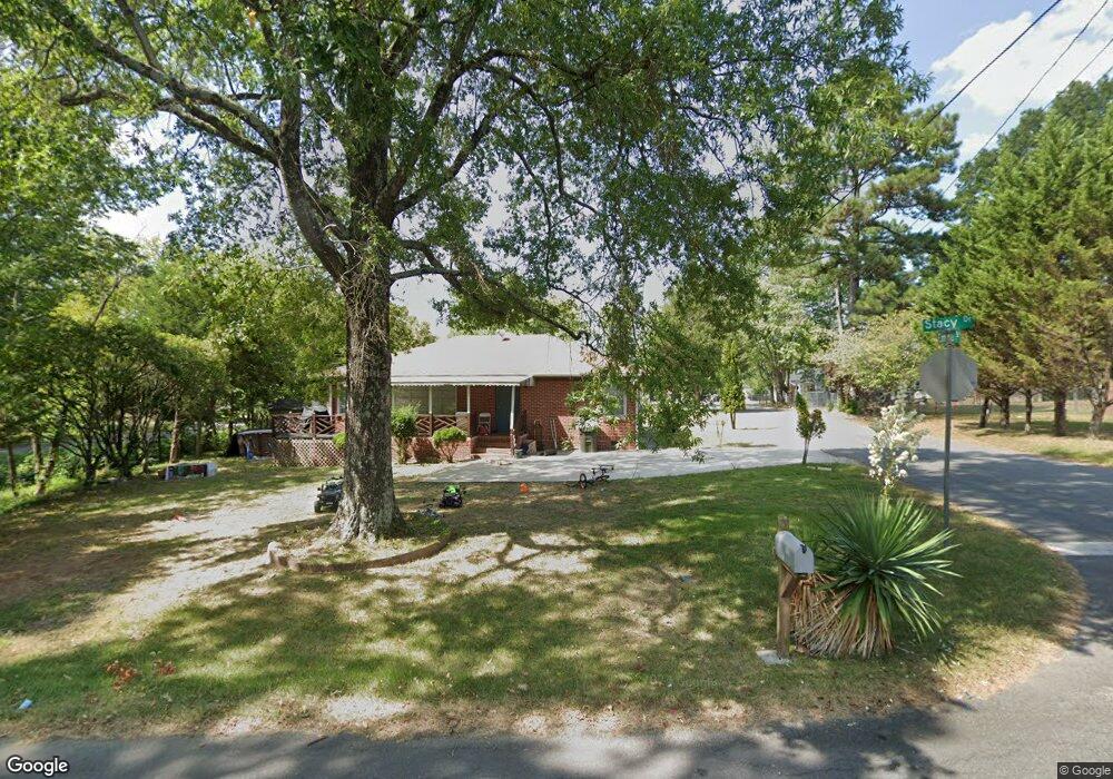
1225 Stacy Dr Dalton, GA 30721
Estimated Value: $166,000 - $186,000
3
Beds
1
Bath
1,100
Sq Ft
$160/Sq Ft
Est. Value
About This Home
This home is located at 1225 Stacy Dr, Dalton, GA 30721 and is currently estimated at $175,970, approximately $159 per square foot. 1225 Stacy Dr is a home located in Whitfield County with nearby schools including Roan Elementary School, Dalton Middle School, and Dalton High School.
Ownership History
Date
Name
Owned For
Owner Type
Purchase Details
Closed on
Feb 21, 2006
Sold by
Nambo Consuelo
Bought by
Ezmore Jose A
Current Estimated Value
Home Financials for this Owner
Home Financials are based on the most recent Mortgage that was taken out on this home.
Original Mortgage
$112,041
Outstanding Balance
$62,513
Interest Rate
6.05%
Mortgage Type
FHA
Estimated Equity
$113,457
Purchase Details
Closed on
May 1, 2002
Sold by
Villarreal Rogelio and Villarreal Nambo
Bought by
Nambo Consuelo
Purchase Details
Closed on
Jan 1, 1998
Bought by
Villarreal Rogelio and Villarreal Nambo
Create a Home Valuation Report for This Property
The Home Valuation Report is an in-depth analysis detailing your home's value as well as a comparison with similar homes in the area
Home Values in the Area
Average Home Value in this Area
Purchase History
| Date | Buyer | Sale Price | Title Company |
|---|---|---|---|
| Ezmore Jose A | $112,900 | -- | |
| Nambo Consuelo | -- | -- | |
| Villarreal Rogelio | $64,500 | -- |
Source: Public Records
Mortgage History
| Date | Status | Borrower | Loan Amount |
|---|---|---|---|
| Open | Ezmore Jose A | $112,041 |
Source: Public Records
Tax History Compared to Growth
Tax History
| Year | Tax Paid | Tax Assessment Tax Assessment Total Assessment is a certain percentage of the fair market value that is determined by local assessors to be the total taxable value of land and additions on the property. | Land | Improvement |
|---|---|---|---|---|
| 2024 | $1,561 | $63,381 | $8,000 | $55,381 |
| 2023 | $1,561 | $42,224 | $5,400 | $36,824 |
| 2022 | $980 | $28,448 | $5,400 | $23,048 |
| 2021 | $981 | $28,448 | $5,400 | $23,048 |
| 2020 | $1,019 | $28,448 | $5,400 | $23,048 |
| 2019 | $1,051 | $28,448 | $5,400 | $23,048 |
| 2018 | $768 | $28,448 | $5,400 | $23,048 |
| 2017 | $733 | $28,448 | $5,400 | $23,048 |
| 2016 | $586 | $24,342 | $3,360 | $20,982 |
| 2014 | $575 | $24,342 | $3,360 | $20,982 |
| 2013 | -- | $24,342 | $3,360 | $20,982 |
Source: Public Records
Map
Nearby Homes
- 0 Robinwood Dr
- 1118 Dozier St
- 0 Dogwood Dr
- 303 Janice St
- 301B Fields Ave
- 204 N Bogle St
- 825 Martin Luther King jr Blvd
- 430 Lester Ave
- 514 Sheridan Ave
- 1902 Bartenfield Dr
- 311 Shady Ln
- 432 4th Ave
- 711 E Morris St
- 503 Harris St
- 502 E Woodland Dr
- 519 Abigail St
- 606 Virginia Ave
- 533 Underwood St
- 0 Underwood St Unit 129860
- trac 2 Roosevelt Dr