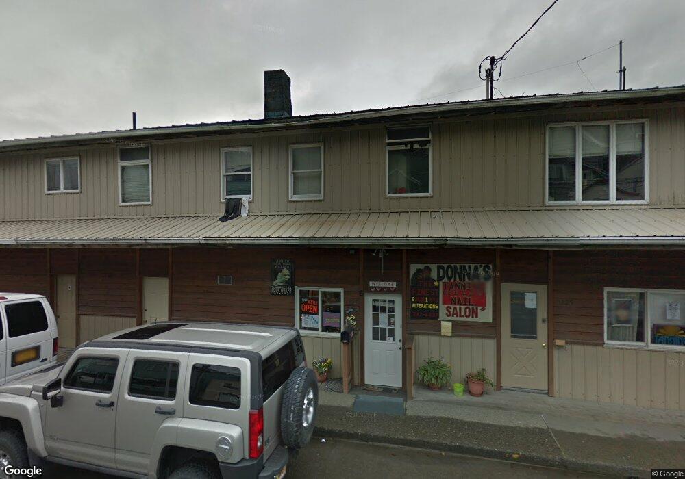
1225 Tongass Ave Unit 1 Ketchikan, AK 99901
Estimated Value: $819,423
--
Bed
--
Bath
6,004
Sq Ft
$136/Sq Ft
Est. Value
About This Home
This home is located at 1225 Tongass Ave Unit 1, Ketchikan, AK 99901 and is currently estimated at $819,423, approximately $136 per square foot. 1225 Tongass Ave Unit 1 is a home located in Ketchikan Gateway Borough with nearby schools including Ketchikan High School, Tongass School of Arts & Sciences Charter School, and Ketchikan Charter School.
Ownership History
Date
Name
Owned For
Owner Type
Purchase Details
Closed on
Oct 1, 2020
Sold by
Wyman Webb Kerry L and Wyman Ruth H
Bought by
Riparian Holdings Llc
Current Estimated Value
Home Financials for this Owner
Home Financials are based on the most recent Mortgage that was taken out on this home.
Original Mortgage
$560,000
Outstanding Balance
$498,090
Interest Rate
2.9%
Mortgage Type
Commercial
Estimated Equity
$321,333
Create a Home Valuation Report for This Property
The Home Valuation Report is an in-depth analysis detailing your home's value as well as a comparison with similar homes in the area
Home Values in the Area
Average Home Value in this Area
Purchase History
| Date | Buyer | Sale Price | Title Company |
|---|---|---|---|
| Riparian Holdings Llc | -- | None Available |
Source: Public Records
Mortgage History
| Date | Status | Borrower | Loan Amount |
|---|---|---|---|
| Open | Riparian Holdings Llc | $560,000 |
Source: Public Records
Tax History Compared to Growth
Tax History
| Year | Tax Paid | Tax Assessment Tax Assessment Total Assessment is a certain percentage of the fair market value that is determined by local assessors to be the total taxable value of land and additions on the property. | Land | Improvement |
|---|---|---|---|---|
| 2025 | $5,535 | $483,400 | $91,300 | $392,100 |
| 2024 | $5,415 | $477,100 | $89,000 | $388,100 |
| 2023 | $5,335 | $452,100 | $84,400 | $367,700 |
| 2022 | $5,335 | $452,100 | $84,400 | $367,700 |
| 2021 | $5,279 | $447,400 | $84,400 | $363,000 |
| 2020 | $5,190 | $447,400 | $84,400 | $363,000 |
| 2019 | $5,190 | $447,400 | $84,400 | $363,000 |
| 2018 | $5,190 | $447,400 | $84,400 | $363,000 |
| 2017 | $5,102 | $436,100 | $0 | $0 |
| 2016 | $5,102 | $436,100 | $0 | $0 |
| 2015 | -- | $436,100 | $0 | $0 |
| 2014 | -- | $436,100 | $0 | $0 |
Source: Public Records
Map
Nearby Homes
- 1254-1256 Water St
- 636 Water St
- 118 Elliot St
- 1770-1772 2nd Ave
- 1770 2nd Ave
- 1227 Black Bear Rd Unit 1229
- 764-766 Forest Ave
- 2010 2nd Ave
- 2030 2nd Ave
- L8 B2 Gravina Island
- 119 Austin St Unit 1107
- 119 Austin St Unit 906
- 320 Bawden St Unit 613-614
- 320 Bawden St
- 320 Bawden St Unit 718
- 320 Bawden St Unit 509
- 310 Austin St Unit A/B
- 310 Austin St
- 800 BLK Miller Ridge Rd
- Lot 7 2nd Ave
- 1225 Tongass Ave Unit 2
- 1225 Tongass Ave
- 1228 Tongass Ave
- 1234 Tongass Ave
- 1222/1224 Tongass Ave
- 1227 Water St
- 1235 Water St
- 1217 Water St
- 1201 Water St
- 1245 Water St
- 1251 Water St
- 1249 Tongass Ave
- 1222 Water St
- 1226 Water St
- 1214 Water St
- 1234 Water St
- 1115 Water St
- 1242 Water St
- 1250 Water St Unit 1256
- 102 Edge Cliff Way