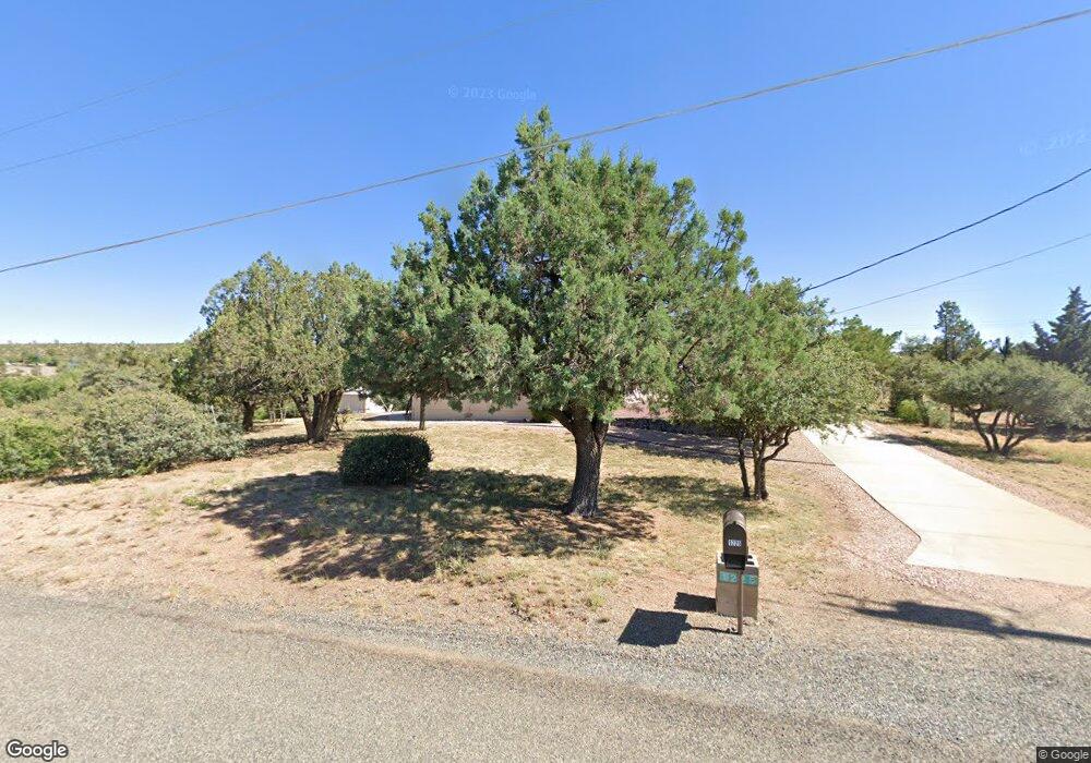
1225 W Mcintosh Dr Prescott, AZ 86305
Williamson Valley Road NeighborhoodEstimated Value: $475,660 - $642,000
--
Bed
--
Bath
1,688
Sq Ft
$344/Sq Ft
Est. Value
About This Home
This home is located at 1225 W Mcintosh Dr, Prescott, AZ 86305 and is currently estimated at $579,915, approximately $343 per square foot. 1225 W Mcintosh Dr is a home located in Yavapai County with nearby schools including Granite Mountain Middle School, Abia Judd Elementary School, and Prescott Mile High Middle School.
Ownership History
Date
Name
Owned For
Owner Type
Purchase Details
Closed on
Jan 22, 2019
Sold by
Daniels Sandra L E and Daniels Jack E
Bought by
Daniels Sandra L and The Sandra L Daniels Living Tr
Current Estimated Value
Purchase Details
Closed on
May 18, 2000
Sold by
Daniels Jack E and Daniels Sandra L
Bought by
Daniels Jack E and Daniels Sandra L
Purchase Details
Closed on
Jun 18, 1998
Sold by
Daniels Jack E
Bought by
Daniels Jack E and Daniels Sandra L
Purchase Details
Closed on
Feb 4, 1997
Sold by
Daniels Angela Marie
Bought by
Daniels Jack E
Create a Home Valuation Report for This Property
The Home Valuation Report is an in-depth analysis detailing your home's value as well as a comparison with similar homes in the area
Home Values in the Area
Average Home Value in this Area
Purchase History
| Date | Buyer | Sale Price | Title Company |
|---|---|---|---|
| Daniels Sandra L | -- | None Available | |
| Daniels Jack E | -- | -- | |
| Daniels Jack E | -- | -- | |
| Daniels Jack E | -- | -- |
Source: Public Records
Tax History Compared to Growth
Tax History
| Year | Tax Paid | Tax Assessment Tax Assessment Total Assessment is a certain percentage of the fair market value that is determined by local assessors to be the total taxable value of land and additions on the property. | Land | Improvement |
|---|---|---|---|---|
| 2026 | $2,086 | $41,180 | -- | -- |
| 2024 | $1,754 | $40,288 | -- | -- |
| 2023 | $1,754 | $33,198 | $9,649 | $23,549 |
| 2022 | $1,696 | $28,793 | $8,663 | $20,130 |
| 2021 | $1,743 | $27,031 | $7,801 | $19,230 |
| 2020 | $1,722 | $0 | $0 | $0 |
| 2019 | $1,689 | $0 | $0 | $0 |
| 2018 | $1,611 | $0 | $0 | $0 |
| 2017 | $1,541 | $0 | $0 | $0 |
| 2016 | $1,509 | $0 | $0 | $0 |
| 2015 | $1,454 | $0 | $0 | $0 |
| 2014 | $1,439 | $0 | $0 | $0 |
Source: Public Records
Map
Nearby Homes
- 1461 W Cliff Rose Rd
- 1530 W Ridge Dr
- 1405 W Ridge Dr
- 1585 W Oneal Rd
- 1365 W Ridge Dr
- 1160 Longview Dr
- 1250 Longview Dr
- 1270 Longview Dr
- 2047-2050 Williamson Valley Rd
- 15305 Longview Dr
- 1203 Valor Rd
- 1760 W Oneal Rd
- 4785 Aldrich Dr S Unit S
- 5673 Beacon St
- Tbd N Williamson Valley Rd
- 2135 W Bridle Path Rd
- 2225 Kris Ct
- 1183 Fawn Ln Unit 4
- 1183 Fawn Ln
- 5657 Sierra Point Ct
- 1200 W Mcintosh Dr
- 1275 W Mcintosh Dr
- 1305 W Mcintosh Dr
- 1220 W Merrill Dr
- 6040 N Bailey Ave
- 1170 W Mcintosh Dr
- 1250 W Mcintosh Dr
- 1310 W Merrill Dr
- 1300 W Mcintosh Dr
- 6140 N Bailey Ave
- 5960 N Bailey Ave Unit 1
- 5960 N Bailey Ave
- 1355 W Mcintosh Dr
- 1355 W Mcintosh Dr Unit 1
- 5535 N Bailey Ave
- 1320 W Merrill Dr
- 6190 N Bailey Ave
- 1237 W Kelly Dr
- 6115 N Bailey Ave
- 1299 W Kelly Dr