--
Bed
--
Bath
10,782
Sq Ft
0.35
Acres
About This Home
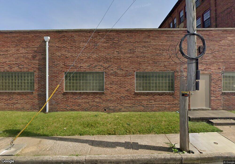
This home is located at 1225 W Princess St Unit LEASE, York, PA 17404. 1225 W Princess St Unit LEASE is a home located in York County with nearby schools including West York Area High School, Lincoln Charter School, and York Country Day School.
Ownership History
Date
Name
Owned For
Owner Type
Purchase Details
Closed on
Mar 9, 2006
Sold by
Coggeshall Christine A and Coggeshall Phillip A
Bought by
Mrkk Enterprises Lp
Home Financials for this Owner
Home Financials are based on the most recent Mortgage that was taken out on this home.
Original Mortgage
$230,000
Outstanding Balance
$131,136
Interest Rate
6.32%
Mortgage Type
Commercial
Purchase Details
Closed on
Apr 28, 2005
Sold by
Melato Mary Jo
Bought by
Coggeshall Christine A and Rauls Andrea M
Home Financials for this Owner
Home Financials are based on the most recent Mortgage that was taken out on this home.
Original Mortgage
$107,000
Interest Rate
5.95%
Mortgage Type
Commercial
Create a Home Valuation Report for This Property
The Home Valuation Report is an in-depth analysis detailing your home's value as well as a comparison with similar homes in the area
Home Values in the Area
Average Home Value in this Area
Purchase History
| Date | Buyer | Sale Price | Title Company |
|---|---|---|---|
| Mrkk Enterprises Lp | $225,000 | None Available | |
| Coggeshall Christine A | $107,000 | -- |
Source: Public Records
Mortgage History
| Date | Status | Borrower | Loan Amount |
|---|---|---|---|
| Open | Mrkk Enterprises Lp | $230,000 | |
| Previous Owner | Coggeshall Christine A | $107,000 |
Source: Public Records
Tax History Compared to Growth
Tax History
| Year | Tax Paid | Tax Assessment Tax Assessment Total Assessment is a certain percentage of the fair market value that is determined by local assessors to be the total taxable value of land and additions on the property. | Land | Improvement |
|---|---|---|---|---|
| 2025 | $9,654 | $193,190 | $59,150 | $134,040 |
| 2024 | $8,862 | $193,190 | $59,150 | $134,040 |
| 2023 | $8,621 | $193,190 | $59,150 | $134,040 |
| 2022 | $8,138 | $193,190 | $59,150 | $134,040 |
| 2021 | $7,945 | $193,190 | $59,150 | $134,040 |
| 2020 | $7,945 | $193,190 | $59,150 | $134,040 |
| 2019 | $7,636 | $193,190 | $59,150 | $134,040 |
| 2018 | $7,442 | $193,190 | $59,150 | $134,040 |
| 2017 | $7,249 | $193,190 | $59,150 | $134,040 |
| 2016 | $0 | $193,190 | $59,150 | $134,040 |
| 2015 | -- | $193,190 | $59,150 | $134,040 |
| 2014 | -- | $193,190 | $59,150 | $134,040 |
Source: Public Records
Map
Nearby Homes
- 1206 W Poplar St
- 1221 W Poplar St
- 1111 W Princess St
- 1250 W King St
- 1023 W Locust St
- 1108 W College Ave
- 908 W Princess St
- 932 W College Ave
- 828 W Princess St
- 908 W College Ave
- 811 W Poplar St
- 1341 Salem Rd
- 46 S Royal St
- 204 S Highland Ave
- 308 Carlisle Ave
- 19 Carlisle Ave
- 1431 W King St
- 833 Linden Ave
- 26 N Highland Ave
- 716 W Philadelphia St
- 1225 W Princess St
- 1216 W Poplar St
- 1213 W Princess St
- 1215 W Princess St
- 1211 W Princess St
- 1212 W Poplar St
- 1230 W Princess St
- 1232 W Princess St
- 1236 W Princess St
- 1226 W Princess St
- 1224 W Princess St
- 1238 W Princess St
- 1207 W Princess St
- 1220 W Princess St
- 1210 W Poplar St
- 1218 W Princess St
- 1205 W Princess St
- 1214 W Princess St
- 1223 W Poplar St
- 1242 W Princess St