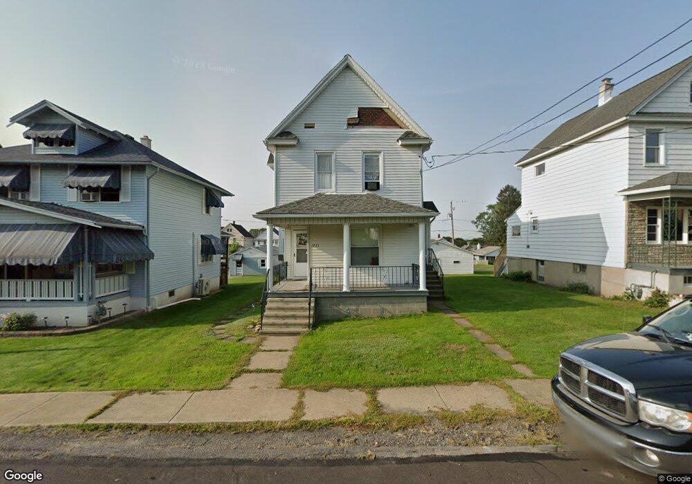
1225 Watson St Scranton, PA 18504
Hyde Park NeighborhoodEstimated Value: $145,000 - $229,000
Studio
--
Bath
--
Sq Ft
5,793
Sq Ft
About This Home
This home is located at 1225 Watson St, Scranton, PA 18504 and is currently estimated at $190,800. 1225 Watson St is a home located in Lackawanna County with nearby schools including Frances Willard School, West Scranton Intrmd School, and West Scranton High School.
Ownership History
Date
Name
Owned For
Owner Type
Purchase Details
Closed on
Feb 17, 2017
Sold by
Gaughan Joseph J and Gaughan Cynthia L
Bought by
Gaughan Joseph J
Current Estimated Value
Home Financials for this Owner
Home Financials are based on the most recent Mortgage that was taken out on this home.
Original Mortgage
$58,500
Outstanding Balance
$48,436
Interest Rate
4.2%
Mortgage Type
New Conventional
Estimated Equity
$142,364
Purchase Details
Closed on
Jan 31, 1994
Bought by
Gaughan Joseph J and Gaughan Cynthia L
Create a Home Valuation Report for This Property
The Home Valuation Report is an in-depth analysis detailing your home's value as well as a comparison with similar homes in the area
Home Values in the Area
Average Home Value in this Area
Purchase History
| Date | Buyer | Sale Price | Title Company |
|---|---|---|---|
| Gaughan Joseph J | $65,000 | None Available | |
| Gaughan Joseph J | $55,000 | -- |
Source: Public Records
Mortgage History
| Date | Status | Borrower | Loan Amount |
|---|---|---|---|
| Open | Gaughan Joseph J | $58,500 |
Source: Public Records
Tax History
| Year | Tax Paid | Tax Assessment Tax Assessment Total Assessment is a certain percentage of the fair market value that is determined by local assessors to be the total taxable value of land and additions on the property. | Land | Improvement |
|---|---|---|---|---|
| 2025 | $3,219 | $10,000 | $1,600 | $8,400 |
| 2024 | $2,942 | $10,000 | $1,600 | $8,400 |
| 2023 | $2,942 | $10,000 | $1,600 | $8,400 |
| 2022 | $2,877 | $10,000 | $1,600 | $8,400 |
| 2021 | $2,877 | $10,000 | $1,600 | $8,400 |
| 2020 | $2,823 | $10,000 | $1,600 | $8,400 |
| 2019 | $2,656 | $10,000 | $1,600 | $8,400 |
| 2018 | $2,656 | $10,000 | $1,600 | $8,400 |
| 2017 | $2,609 | $10,000 | $1,600 | $8,400 |
| 2016 | -- | $10,000 | $1,600 | $8,400 |
| 2015 | $1,958 | $10,000 | $1,600 | $8,400 |
| 2014 | -- | $10,000 | $1,600 | $8,400 |
Source: Public Records
Map
Nearby Homes
- 1227 Rundle St
- LOT#16 Reynolds Ave
- Lot# 7 Reynolds Ave
- 1301 Sloan St
- 1125 Watson St
- 1295 Reynolds Ave
- 1335 Sloan St
- 1417 Cornell St
- 1411 Watson St
- 1120 Acker Ave
- 924 S Main Ave
- 1250 S 1252 6th
- 625 Landis St
- 1009 1011 Acker Ave Unit L 109
- 816 12th Ave
- 1155 W Elm St
- 1150 W Elm St
- 920 W 922 W Elm St
- 1215 Eynon St
- 1223 Eynon St
- 1223 Watson St
- 1227 Watson St
- 1221 Watson St
- 1231 Watson St
- 1219 Watson St
- 1217 Watson St
- 1226 Rundle St
- 1224 Rundle St
- 1222 Rundle St
- 1230 Rundle St
- 1235 Watson St
- 1236 Watson St
- 1240 Watson St Unit 1
- 1240 Watson St
- 1215 Watson St
- 1220 Rundle St
- 0 Watson St Unit GSB016436
- 0 Watson St Unit GSB007077
- 1234 Watson St
- 1232-1234 Watson St Unit 1232
Your Personal Tour Guide
Ask me questions while you tour the home.