Estimated Value: $253,000 - $323,000
3
Beds
2
Baths
1,274
Sq Ft
$222/Sq Ft
Est. Value
About This Home
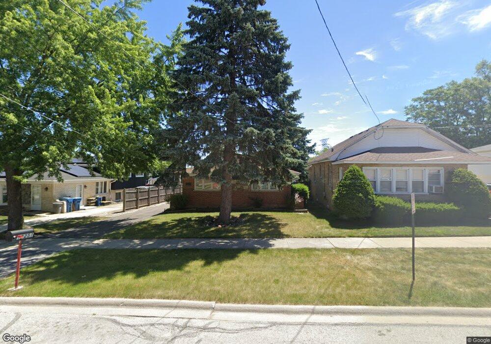
This home is located at 12251 S 45th Ave, Alsip, IL 60803 and is currently estimated at $283,309, approximately $222 per square foot. 12251 S 45th Ave is a home located in Cook County with nearby schools including Lane Elementary School, Prairie Jr High School, and A B Shepard High School.
Ownership History
Date
Name
Owned For
Owner Type
Purchase Details
Closed on
Aug 31, 2001
Sold by
Seitz Dean L and Oziemkowski Richard J
Bought by
Lee Howard A and Oconnor Carol A
Current Estimated Value
Home Financials for this Owner
Home Financials are based on the most recent Mortgage that was taken out on this home.
Original Mortgage
$110,400
Outstanding Balance
$43,175
Interest Rate
7.03%
Estimated Equity
$240,134
Purchase Details
Closed on
Feb 20, 1998
Sold by
Nolan Debby L and Mulvihill Debby L
Bought by
Seitz Dean L and Oziemkowski Richard J
Home Financials for this Owner
Home Financials are based on the most recent Mortgage that was taken out on this home.
Original Mortgage
$102,600
Interest Rate
6.95%
Purchase Details
Closed on
Apr 11, 1994
Sold by
Hall Deloran O and Hall Joan
Bought by
Mulvihill Debby L
Home Financials for this Owner
Home Financials are based on the most recent Mortgage that was taken out on this home.
Original Mortgage
$102,600
Interest Rate
7.66%
Create a Home Valuation Report for This Property
The Home Valuation Report is an in-depth analysis detailing your home's value as well as a comparison with similar homes in the area
Home Values in the Area
Average Home Value in this Area
Purchase History
| Date | Buyer | Sale Price | Title Company |
|---|---|---|---|
| Lee Howard A | $138,000 | -- | |
| Seitz Dean L | $108,000 | -- | |
| Mulvihill Debby L | $76,000 | -- |
Source: Public Records
Mortgage History
| Date | Status | Borrower | Loan Amount |
|---|---|---|---|
| Open | Lee Howard A | $110,400 | |
| Previous Owner | Seitz Dean L | $102,600 | |
| Previous Owner | Mulvihill Debby L | $102,600 |
Source: Public Records
Tax History Compared to Growth
Tax History
| Year | Tax Paid | Tax Assessment Tax Assessment Total Assessment is a certain percentage of the fair market value that is determined by local assessors to be the total taxable value of land and additions on the property. | Land | Improvement |
|---|---|---|---|---|
| 2024 | $6,958 | $21,000 | $3,575 | $17,425 |
| 2023 | $7,449 | $21,000 | $3,575 | $17,425 |
| 2022 | $7,449 | $18,549 | $3,088 | $15,461 |
| 2021 | $7,086 | $18,547 | $3,087 | $15,460 |
| 2020 | $7,004 | $18,547 | $3,087 | $15,460 |
| 2019 | $6,654 | $16,985 | $2,762 | $14,223 |
| 2018 | $6,405 | $16,985 | $2,762 | $14,223 |
| 2017 | $6,451 | $16,985 | $2,762 | $14,223 |
| 2016 | $5,366 | $13,842 | $2,275 | $11,567 |
| 2015 | $5,324 | $13,842 | $2,275 | $11,567 |
| 2014 | $5,140 | $13,842 | $2,275 | $11,567 |
| 2013 | $5,624 | $16,380 | $2,275 | $14,105 |
Source: Public Records
Map
Nearby Homes
- 12417 S Orchard St
- 12026 S Kildare Ave Unit 16
- 4804 W 118th St
- 4808 W 118th St
- 4735 W 122nd St
- 12147 S Cicero Ave
- 12507 S Tripp Ave
- 4309 W Park Lane Dr Unit 2B
- 12024 S Van Beveren Dr
- 12549 S Tripp Ave
- 4336 W Emerald Way St
- 4343 W Emerald Way St
- 4326 W Emerald Way St
- 4833 W 123rd Place
- 4406 W 127th Place
- 12736 S Kenneth Ave Unit 1A
- 12738 S Kenneth Ave Unit E
- 4511 W Howdy Ln
- 4207 W Jobev Ln
- 11906 S Cicero Ave
- 12241 S 45th Ave
- 12248 S 44th Place
- 12242 S 44th Place
- 12255 S 45th Ave
- 12247 S 45th Ave
- 12240 S 44th Place
- 12256 S 44th Place
- 12236 S 44th Place
- 12243 S 45th Ave
- 12232 S 44th Place
- 12231 S 45th Ave
- 12230 S 44th Place
- 12227 S 45th Ave
- 4443 W 123rd St
- 4447 W 123rd St
- 4439 W 123rd St
- 4435 W 123rd St
- 12245 S 44th Place