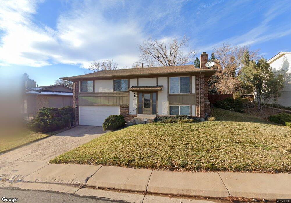
12251 W Atlantic Dr Lakewood, CO 80228
Green Mountain NeighborhoodEstimated Value: $610,948 - $688,000
3
Beds
3
Baths
1,262
Sq Ft
$510/Sq Ft
Est. Value
About This Home
This home is located at 12251 W Atlantic Dr, Lakewood, CO 80228 and is currently estimated at $643,737, approximately $510 per square foot. 12251 W Atlantic Dr is a home located in Jefferson County with nearby schools including Devinny Elementary School, Dunstan Middle School, and Green Mountain High School.
Ownership History
Date
Name
Owned For
Owner Type
Purchase Details
Closed on
Oct 9, 2020
Sold by
Alan B Smith Marital Trust
Bought by
Smith Lorraine E
Current Estimated Value
Purchase Details
Closed on
Aug 27, 2020
Sold by
Smith Lorraine E and Estate Of Alan Bruce Smith
Bought by
Alan B Smith Marital Trust
Purchase Details
Closed on
Dec 16, 2014
Sold by
Al & Betsy Smith Partnership Lllp
Bought by
Smith Alan B and Smith Lorraine E
Purchase Details
Closed on
Aug 7, 1997
Sold by
Smith Lorraine E and Smith Alan B
Bought by
Al & Betsy Smith Partnership Lllp
Purchase Details
Closed on
May 23, 1997
Sold by
Smith Lorraine E
Bought by
Smith Alan B and Smith Lorraine E
Create a Home Valuation Report for This Property
The Home Valuation Report is an in-depth analysis detailing your home's value as well as a comparison with similar homes in the area
Home Values in the Area
Average Home Value in this Area
Purchase History
| Date | Buyer | Sale Price | Title Company |
|---|---|---|---|
| Smith Lorraine E | -- | None Available | |
| Alan B Smith Marital Trust | -- | None Available | |
| Smith Alan B | -- | None Available | |
| Al & Betsy Smith Partnership Lllp | -- | -- | |
| Smith Alan B | -- | -- |
Source: Public Records
Tax History Compared to Growth
Tax History
| Year | Tax Paid | Tax Assessment Tax Assessment Total Assessment is a certain percentage of the fair market value that is determined by local assessors to be the total taxable value of land and additions on the property. | Land | Improvement |
|---|---|---|---|---|
| 2024 | $3,234 | $35,858 | $14,931 | $20,927 |
| 2023 | $3,234 | $35,858 | $14,931 | $20,927 |
| 2022 | $2,612 | $28,311 | $12,922 | $15,389 |
| 2021 | $2,649 | $29,126 | $13,294 | $15,832 |
| 2020 | $2,376 | $26,234 | $11,582 | $14,652 |
| 2019 | $2,345 | $26,234 | $11,582 | $14,652 |
| 2018 | $2,206 | $23,871 | $7,309 | $16,562 |
| 2017 | $1,939 | $23,871 | $7,309 | $16,562 |
| 2016 | $1,929 | $22,161 | $6,098 | $16,063 |
| 2015 | $1,683 | $22,161 | $6,098 | $16,063 |
| 2014 | $1,683 | $17,709 | $5,578 | $12,131 |
Source: Public Records
Map
Nearby Homes
- 1901 S Union Place
- 1847 S Union Blvd Unit 36
- 1865 S Union Blvd
- 1799 S Van Gordon Ct
- 12807 W Adriatic Ave
- 12711 W Jewell Cir
- 12057 W New Mexico Place
- 1822 S Robb St
- 2164 S Zang Way
- 2064 S Robb Way
- 11904 W Auburn Dr
- 2252 S Queen St
- 2037 S Welch Cir
- 2154 S Parfet Dr
- 13126 W Warren Cir
- 1825 S Zang Ct
- 1501 S Welch Cir
- 1454 S Urban Way
- 10806 W Evans Ave Unit 4
- 1577 S Pierson St
- 12271 W Atlantic Dr
- 12231 W Atlantic Dr
- 12274 W Atlantic Place
- 12334 W Atlantic Place
- 12331 W Atlantic Dr
- 12211 W Atlantic Dr
- 12252 W Atlantic Dr
- 12232 W Atlantic Dr
- 12234 W Atlantic Place
- 12272 W Atlantic Dr
- 1960 S Vivian St
- 12374 W Atlantic Place
- 12371 W Atlantic Dr
- 12212 W Atlantic Dr
- 1962 S Vivian St
- 1955 S Van Gordon St
- 12333 W Atlantic Place
- 1953 S Van Gordon St
- 1957 S Van Gordon St
- 12434 W Atlantic Place