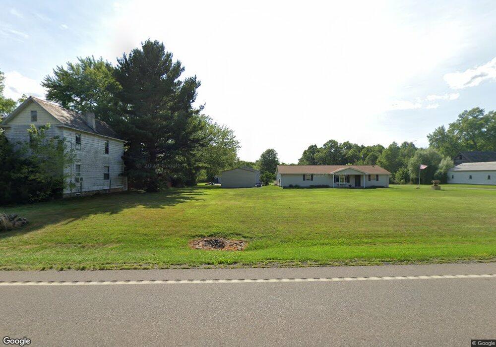
12255 Union Ave NE Alliance, OH 44601
Estimated Value: $179,000 - $232,040
2
Beds
2
Baths
1,006
Sq Ft
$209/Sq Ft
Est. Value
About This Home
This home is located at 12255 Union Ave NE, Alliance, OH 44601 and is currently estimated at $209,760, approximately $208 per square foot. 12255 Union Ave NE is a home located in Stark County with nearby schools including Marlington High School and Regina Coeli/St Joseph School.
Ownership History
Date
Name
Owned For
Owner Type
Purchase Details
Closed on
Aug 28, 2017
Sold by
Nelson Craig A
Bought by
Forster Catherine L
Current Estimated Value
Purchase Details
Closed on
Sep 10, 2007
Sold by
Nelson Craig A and Forster Catherine L
Bought by
5 Star Service Co Llc
Home Financials for this Owner
Home Financials are based on the most recent Mortgage that was taken out on this home.
Original Mortgage
$110,400
Interest Rate
6.69%
Mortgage Type
Purchase Money Mortgage
Purchase Details
Closed on
Aug 16, 2007
Sold by
Mohr Thomas O and Mohr Janet W
Bought by
Nelson Craig A and Forster Catherine L
Home Financials for this Owner
Home Financials are based on the most recent Mortgage that was taken out on this home.
Original Mortgage
$110,400
Interest Rate
6.69%
Mortgage Type
Purchase Money Mortgage
Purchase Details
Closed on
Sep 18, 1989
Create a Home Valuation Report for This Property
The Home Valuation Report is an in-depth analysis detailing your home's value as well as a comparison with similar homes in the area
Home Values in the Area
Average Home Value in this Area
Purchase History
| Date | Buyer | Sale Price | Title Company |
|---|---|---|---|
| Forster Catherine L | -- | None Available | |
| 5 Star Service Co Llc | -- | Attorney | |
| Nelson Craig A | $138,000 | Attorney | |
| -- | $3,500 | -- |
Source: Public Records
Mortgage History
| Date | Status | Borrower | Loan Amount |
|---|---|---|---|
| Previous Owner | Nelson Craig A | $110,400 |
Source: Public Records
Tax History Compared to Growth
Tax History
| Year | Tax Paid | Tax Assessment Tax Assessment Total Assessment is a certain percentage of the fair market value that is determined by local assessors to be the total taxable value of land and additions on the property. | Land | Improvement |
|---|---|---|---|---|
| 2025 | -- | $65,070 | $21,980 | $43,090 |
| 2024 | -- | $65,070 | $21,980 | $43,090 |
| 2023 | $2,337 | $53,520 | $17,820 | $35,700 |
| 2022 | $2,353 | $53,520 | $17,820 | $35,700 |
| 2021 | $2,359 | $53,520 | $17,820 | $35,700 |
| 2020 | $2,181 | $45,780 | $15,400 | $30,380 |
| 2019 | $2,155 | $45,790 | $15,400 | $30,390 |
| 2018 | $2,166 | $45,790 | $15,400 | $30,390 |
| 2017 | $2,150 | $42,110 | $11,340 | $30,770 |
| 2016 | $2,066 | $40,180 | $11,340 | $28,840 |
| 2015 | $2,002 | $40,180 | $11,340 | $28,840 |
| 2014 | $1,933 | $36,620 | $10,330 | $26,290 |
| 2013 | $960 | $36,620 | $10,330 | $26,290 |
Source: Public Records
Map
Nearby Homes
- 15520 Coalbank St NE
- 15789 Coalbank St NE
- 15995 Elbrook St NE
- 0 Knoll St NE
- 11344 Walnut Ave NE
- 15832 Waverly St NE
- 11310 Webb Ave NE
- 14723 Bolton St NE
- 0 Homestead Ave NE
- 14422 Sturbridge Rd NE
- 0 Johnson Ave NE Unit 5142926
- 0 Meadowbrook Ave
- 000 Meadowbrook Ave
- 124 E Wayne St
- 652 N Webb Ave
- 0 Klinger Ave NE
- 710 N Freedom Ave
- 505 N Union Ave
- 608 N Freedom Ave
- 263 Franklin Ave
- 12225 Union Ave NE
- 12285 Union Ave NE
- 12217 Union Ave NE
- 12217 Union Ave NE
- 12270 Union Ave NE
- 12300 Union Ave NE
- 12143 Union Ave NE
- 12117 Union Ave NE
- 12385 Union Ave NE
- 12376 Union Ave NE
- 12350 Union Ave NE
- 12338 Union Ave NE
- 12410 Union Ave NE
- 12200 Union Ave NE
- 12446 Union Ave NE
- 12426 Union Ave NE
- 12045 Union Ave NE
- 12007 Union Ave NE
- 12464 Union Ave NE
- 12510 Union Ave NE