Estimated Value: $159,361 - $177,000
3
Beds
1
Bath
1,040
Sq Ft
$163/Sq Ft
Est. Value
About This Home
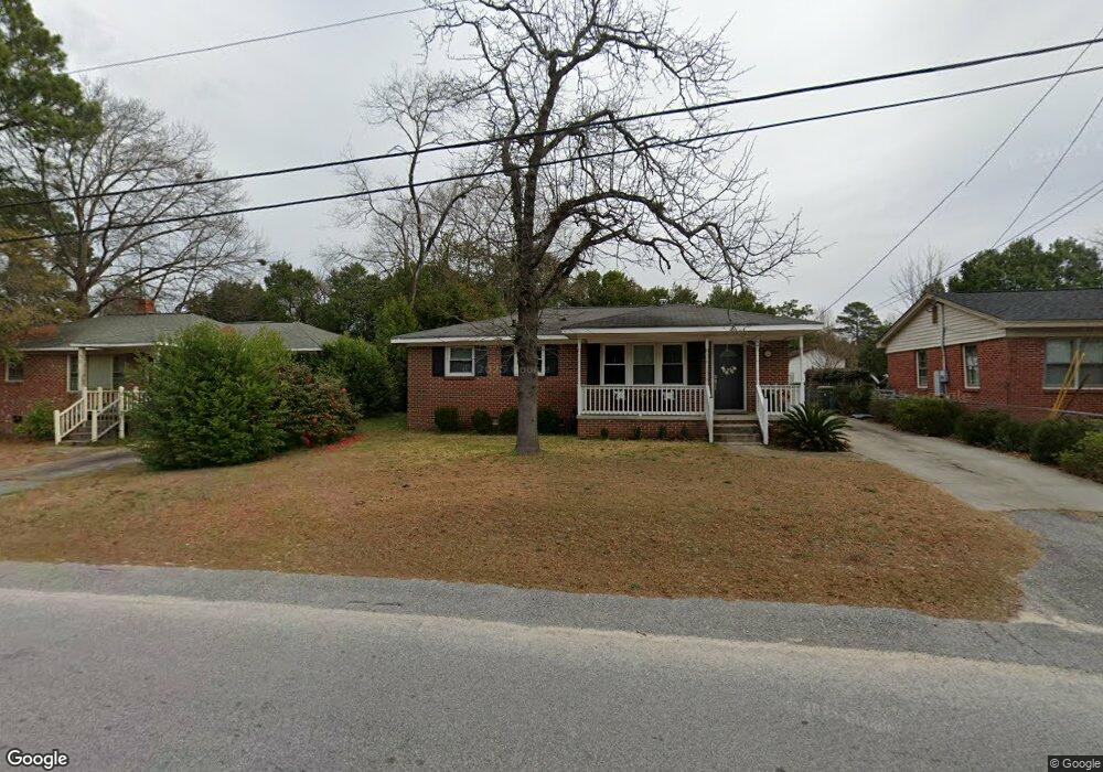
This home is located at 1226 Decatur St, Cayce, SC 29033 and is currently estimated at $169,340, approximately $162 per square foot. 1226 Decatur St is a home located in Lexington County with nearby schools including Cayce Elementary, Cyril B. Busbee Creative Arts Academy, and Brookland-Cayce High School.
Ownership History
Date
Name
Owned For
Owner Type
Purchase Details
Closed on
Nov 21, 2025
Sold by
Powers Lynda S
Bought by
Powers Lynda S and Stutler Miriam T
Current Estimated Value
Home Financials for this Owner
Home Financials are based on the most recent Mortgage that was taken out on this home.
Original Mortgage
$80,000
Outstanding Balance
$79,925
Interest Rate
6.3%
Mortgage Type
New Conventional
Estimated Equity
$89,415
Purchase Details
Closed on
Oct 29, 2025
Sold by
Stutler Lynda S and Stutler Justin J
Bought by
Powers Lynda S
Home Financials for this Owner
Home Financials are based on the most recent Mortgage that was taken out on this home.
Original Mortgage
$80,000
Outstanding Balance
$79,925
Interest Rate
6.3%
Mortgage Type
New Conventional
Estimated Equity
$89,415
Purchase Details
Closed on
Nov 30, 2005
Sold by
Sleigher Robert L and Sleigher Kathy
Bought by
Stutler Justin J and Stutler Lynda S
Home Financials for this Owner
Home Financials are based on the most recent Mortgage that was taken out on this home.
Original Mortgage
$88,223
Interest Rate
6.04%
Mortgage Type
New Conventional
Purchase Details
Closed on
May 28, 2004
Sold by
Martin Jim E
Bought by
Sleigher Rob L
Purchase Details
Closed on
Feb 27, 2004
Sold by
Freeman John W
Bought by
Lustig Roy R
Create a Home Valuation Report for This Property
The Home Valuation Report is an in-depth analysis detailing your home's value as well as a comparison with similar homes in the area
Home Values in the Area
Average Home Value in this Area
Purchase History
| Date | Buyer | Sale Price | Title Company |
|---|---|---|---|
| Powers Lynda S | -- | None Listed On Document | |
| Powers Lynda S | -- | None Listed On Document | |
| Stutler Justin J | $86,367 | -- | |
| Sleigher Rob L | $84,500 | -- | |
| Lustig Roy R | $149,900 | -- |
Source: Public Records
Mortgage History
| Date | Status | Borrower | Loan Amount |
|---|---|---|---|
| Open | Powers Lynda S | $80,000 | |
| Previous Owner | Stutler Justin J | $88,223 |
Source: Public Records
Tax History
| Year | Tax Paid | Tax Assessment Tax Assessment Total Assessment is a certain percentage of the fair market value that is determined by local assessors to be the total taxable value of land and additions on the property. | Land | Improvement |
|---|---|---|---|---|
| 2024 | $1,652 | $3,944 | $1,200 | $2,744 |
| 2023 | $1,513 | $3,944 | $1,200 | $2,744 |
| 2022 | $1,415 | $3,944 | $1,200 | $2,744 |
| 2020 | $1,351 | $3,944 | $1,200 | $2,744 |
| 2019 | $1,441 | $4,164 | $1,200 | $2,964 |
| 2018 | $1,412 | $4,164 | $1,200 | $2,964 |
| 2017 | $1,391 | $4,164 | $1,200 | $2,964 |
| 2016 | $1,398 | $4,164 | $1,200 | $2,964 |
| 2014 | $1,351 | $4,682 | $1,200 | $3,482 |
| 2013 | -- | $3,120 | $800 | $2,320 |
Source: Public Records
Map
Nearby Homes
- 300 Dale Ln
- 1855 Evelyn St
- 940 Glenn St Unit 303
- 1832 Wadsworth Dr
- 2024 Platt Springs Rd
- 1805 Chadsworth Dr
- 629 Westside Dr
- 157 Cavendish Dr
- 313 Ocala Dr
- 307 Ocala Dr
- 401 Ocala Dr
- 315 Ocala Dr
- 305 Ocala Dr
- 1414 Hazel St
- 151 Cavendish Dr
- 147 Cavendish Dr
- 1521 Benton Cir
- 170 Whiteside Cir
- 153 Cavendish Dr
- 1818 Sunnyside Dr
- 1224 Decatur St
- 1228 Decatur St
- 1222 Decatur St
- 1230 Decatur St
- 1221 Decatur St
- 1219 Decatur St
- 1223 Decatur St
- 1217 Decatur St
- 1230 Memorial Dr
- 1225 Decatur St
- 1218 Decatur St
- 1140 Sox St
- 1140 Sox St
- 1215 Decatur St
- 1216 Decatur St
- 1209 Decatur St
- 1136 Sox St
- 108 Dale Ln
- 1201 Sox St
- 1207 Decatur St
Your Personal Tour Guide
Ask me questions while you tour the home.