1226 Gose Mill Rd Unit 1 Tazewell, VA 24651
Estimated Value: $377,000 - $464,000
2
Beds
2
Baths
3,026
Sq Ft
$142/Sq Ft
Est. Value
About This Home
This home is located at 1226 Gose Mill Rd Unit 1, Tazewell, VA 24651 and is currently estimated at $430,996, approximately $142 per square foot. 1226 Gose Mill Rd Unit 1 is a home located in Tazewell County.
Ownership History
Date
Name
Owned For
Owner Type
Purchase Details
Closed on
May 24, 2024
Sold by
Guthrie Joseph Alfred and Andrews Samantha Lynn
Bought by
Schlabach David P and Schlabach Mattie N
Current Estimated Value
Home Financials for this Owner
Home Financials are based on the most recent Mortgage that was taken out on this home.
Original Mortgage
$320,000
Outstanding Balance
$314,923
Interest Rate
6.88%
Mortgage Type
Credit Line Revolving
Estimated Equity
$116,073
Purchase Details
Closed on
Apr 2, 2019
Sold by
Debord David E and Debord Peggy B
Bought by
Guthrie Joseph Alfred and Andrews Samantha Lynn
Create a Home Valuation Report for This Property
The Home Valuation Report is an in-depth analysis detailing your home's value as well as a comparison with similar homes in the area
Home Values in the Area
Average Home Value in this Area
Purchase History
| Date | Buyer | Sale Price | Title Company |
|---|---|---|---|
| Schlabach David P | $400,000 | None Listed On Document | |
| Guthrie Joseph Alfred | $299,500 | None Available |
Source: Public Records
Mortgage History
| Date | Status | Borrower | Loan Amount |
|---|---|---|---|
| Open | Schlabach David P | $320,000 |
Source: Public Records
Tax History Compared to Growth
Tax History
| Year | Tax Paid | Tax Assessment Tax Assessment Total Assessment is a certain percentage of the fair market value that is determined by local assessors to be the total taxable value of land and additions on the property. | Land | Improvement |
|---|---|---|---|---|
| 2025 | $1,212 | $406,500 | $253,900 | $152,600 |
| 2023 | $2,068 | $356,600 | $220,900 | $135,700 |
| 2022 | $2,068 | $356,600 | $220,900 | $135,700 |
| 2021 | $2,068 | $356,600 | $220,900 | $135,700 |
| 2020 | $1,085 | $356,600 | $220,900 | $135,700 |
| 2019 | $1,085 | $356,600 | $220,900 | $135,700 |
| 2018 | $924 | $356,600 | $220,900 | $135,700 |
| 2017 | $924 | $337,600 | $220,900 | $116,700 |
| 2016 | -- | $337,600 | $220,900 | $116,700 |
| 2015 | -- | $337,600 | $220,900 | $116,700 |
| 2014 | -- | $337,600 | $220,900 | $116,700 |
| 2013 | -- | $337,600 | $220,900 | $116,700 |
Source: Public Records
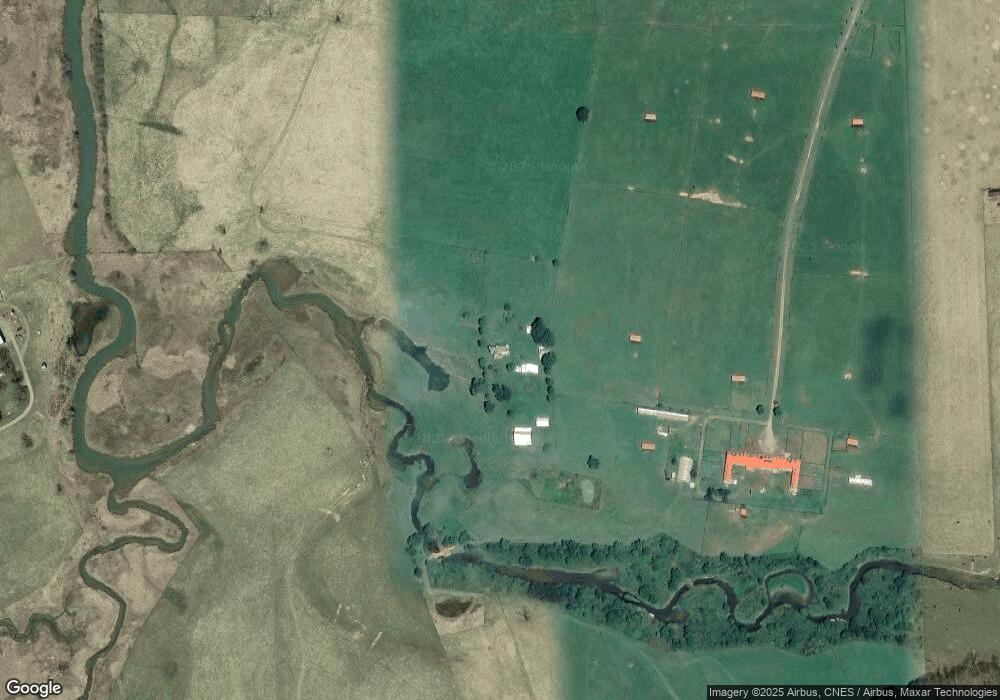
Map
Nearby Homes
- TBD Burkes Garden Rd
- 2059 Clearfork Rd
- 127 Anns Ln
- 214 Kelley St
- 329 Villa Heights Dr
- TBD Laredo St
- 335 Tacoma Rd
- 365 Olympic Dr
- 8163 W Blue Grass Trail
- Lot 88 Nye Valley Rd - Cove Creek
- 31 Clear Fork Creek Rd
- Lot 17 Fox Hollow Dr
- Lot 17 Fox Hollow Dr
- TBD Brookstone Rd
- 340 Foxborough St
- 10874 W Blue Grass Trail
- 4149 Suiter Rd
- 135 Tickle St
- 3225 Lynn Hollow Rd
- TBA Tba Beverly Hills Dr
- 1226 Gose Mill Rd
- 1420 Gose Mill Rd
- 5957 Burkes Garden Rd
- 1409 Gose Mill Rd
- 1115 Gose Mill Rd
- 1595 Gose Mill Rd
- 920 Gose Mill Rd
- 1754 Gose Mill Rd
- 6050 Burkes Garden Rd
- 6088 Burkes Garden Rd
- 6088 Burkes Garden Rd
- 5966 Burkes Garden Rd
- 6164 Burkes Garden Rd
- 6156 Burkes Garden Rd
- 6122 Burkes Garden Rd
- 6795 Burkes Garden Rd
- 6172 Burkes Garden Rd
- 6222 Burkes Garden Rd
- 6256 Burkes Garden Rd
- 170 Sweetbrier