1226 N 36th Rd Ottawa, IL 61350
Estimated Value: $308,189 - $386,000
--
Bed
--
Bath
2,544
Sq Ft
$134/Sq Ft
Est. Value
About This Home
This home is located at 1226 N 36th Rd, Ottawa, IL 61350 and is currently estimated at $341,047, approximately $134 per square foot. 1226 N 36th Rd is a home located in LaSalle County with nearby schools including Wallace Elementary School and Ottawa Township High School.
Ownership History
Date
Name
Owned For
Owner Type
Purchase Details
Closed on
Sep 23, 2019
Sold by
Miskell Judy
Bought by
Cruz Ladislao
Current Estimated Value
Home Financials for this Owner
Home Financials are based on the most recent Mortgage that was taken out on this home.
Original Mortgage
$184,320
Outstanding Balance
$168,465
Interest Rate
6%
Mortgage Type
VA
Estimated Equity
$172,582
Purchase Details
Closed on
Jul 2, 2015
Sold by
Miskell Donald and Miskell Linda
Bought by
Miskell Donald and Miskell Judy
Create a Home Valuation Report for This Property
The Home Valuation Report is an in-depth analysis detailing your home's value as well as a comparison with similar homes in the area
Home Values in the Area
Average Home Value in this Area
Purchase History
| Date | Buyer | Sale Price | Title Company |
|---|---|---|---|
| Cruz Ladislao | $180,000 | None Available | |
| Miskell Donald | -- | -- |
Source: Public Records
Mortgage History
| Date | Status | Borrower | Loan Amount |
|---|---|---|---|
| Open | Cruz Ladislao | $184,320 |
Source: Public Records
Tax History Compared to Growth
Tax History
| Year | Tax Paid | Tax Assessment Tax Assessment Total Assessment is a certain percentage of the fair market value that is determined by local assessors to be the total taxable value of land and additions on the property. | Land | Improvement |
|---|---|---|---|---|
| 2024 | $7,455 | $97,428 | $14,581 | $82,847 |
| 2023 | $6,668 | $86,060 | $12,880 | $73,180 |
| 2022 | $6,161 | $78,529 | $11,753 | $66,776 |
| 2021 | $5,942 | $75,075 | $11,236 | $63,839 |
| 2020 | $5,548 | $70,446 | $10,543 | $59,903 |
| 2019 | $4,731 | $64,999 | $9,728 | $55,271 |
| 2018 | $4,230 | $58,558 | $8,764 | $49,794 |
| 2017 | $4,161 | $57,801 | $8,651 | $49,150 |
| 2016 | $4,057 | $56,807 | $8,502 | $48,305 |
| 2015 | $4,154 | $57,967 | $8,676 | $49,291 |
| 2012 | -- | $63,131 | $9,449 | $53,682 |
Source: Public Records
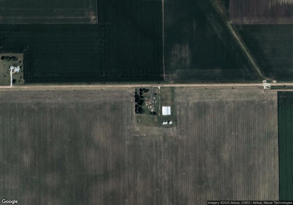
Map
Nearby Homes
- 3770 E 1050th Rd
- Lot 3607 E 1769 Rd
- 3307 N State Route 23
- 2959 N Illinois 178 E 8th Rd
- 29XX Il Rt 178 Hwy
- 00 E 8th Rd
- 1636 N 4012th Rd
- 1495 N 3025 Rd
- 3016 E 1489th Rd
- 1487 N 2975th Rd
- 2954 E 1479th Rd
- 2961 E 1489th Rd
- 2950 E 1479 Rd
- 2951 E 1489th Rd
- 4537 E 14th Rd
- 4541 E 14th Rd
- 4535 E 14th Rd
- 2931 E 10th Rd
- SWC E Stevenson & Burmac Rd
- NWC E Stevenson & Mbl Dr