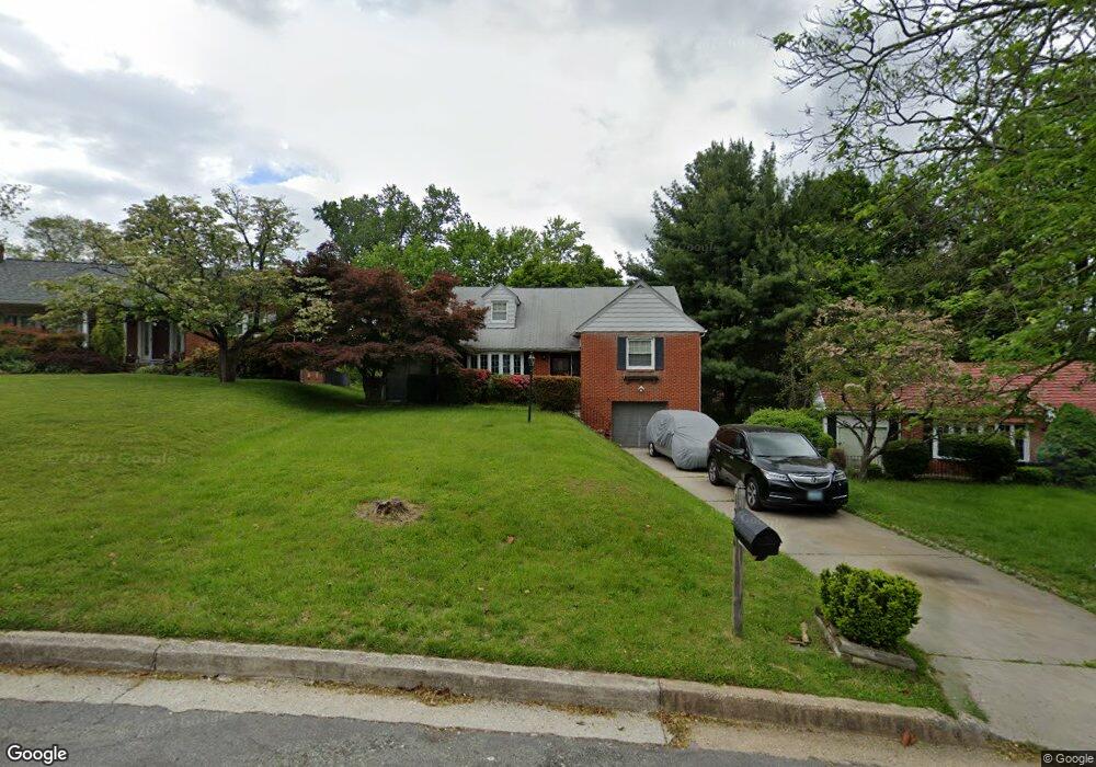
1226 Saint Andrews Way Baltimore, MD 21239
Estimated Value: $381,000 - $440,324
3
Beds
4
Baths
--
Sq Ft
0.47
Acres
About This Home
This home is located at 1226 Saint Andrews Way, Baltimore, MD 21239 and is currently estimated at $405,081. 1226 Saint Andrews Way is a home located in Baltimore County with nearby schools including Halstead Academy, Loch Raven Technical Academy, and Towson High Law & Public Policy.
Ownership History
Date
Name
Owned For
Owner Type
Purchase Details
Closed on
Jan 22, 2015
Sold by
Johnson Andrew
Bought by
Johnson Andrew and Ferguson Darryl L
Current Estimated Value
Home Financials for this Owner
Home Financials are based on the most recent Mortgage that was taken out on this home.
Original Mortgage
$199,500
Outstanding Balance
$149,615
Interest Rate
3.84%
Mortgage Type
New Conventional
Estimated Equity
$255,466
Purchase Details
Closed on
May 21, 1997
Sold by
Whalen Lindea O
Bought by
Johnson Andrew and Johnson Shirley
Create a Home Valuation Report for This Property
The Home Valuation Report is an in-depth analysis detailing your home's value as well as a comparison with similar homes in the area
Home Values in the Area
Average Home Value in this Area
Purchase History
| Date | Buyer | Sale Price | Title Company |
|---|---|---|---|
| Johnson Andrew | -- | None Available | |
| Johnson Andrew | $158,000 | -- |
Source: Public Records
Mortgage History
| Date | Status | Borrower | Loan Amount |
|---|---|---|---|
| Open | Johnson Andrew | $199,500 |
Source: Public Records
Tax History Compared to Growth
Tax History
| Year | Tax Paid | Tax Assessment Tax Assessment Total Assessment is a certain percentage of the fair market value that is determined by local assessors to be the total taxable value of land and additions on the property. | Land | Improvement |
|---|---|---|---|---|
| 2025 | $4,789 | $346,900 | $106,600 | $240,300 |
| 2024 | $4,789 | $324,967 | $0 | $0 |
| 2023 | $2,280 | $303,033 | $0 | $0 |
| 2022 | $4,329 | $281,100 | $89,200 | $191,900 |
| 2021 | $4,342 | $280,267 | $0 | $0 |
| 2020 | $3,387 | $279,433 | $0 | $0 |
| 2019 | $3,377 | $278,600 | $89,200 | $189,400 |
| 2018 | $4,590 | $276,467 | $0 | $0 |
| 2017 | $4,004 | $274,333 | $0 | $0 |
| 2016 | $3,646 | $272,200 | $0 | $0 |
| 2015 | $3,646 | $267,867 | $0 | $0 |
| 2014 | $3,646 | $263,533 | $0 | $0 |
Source: Public Records
Map
Nearby Homes
- 1204 Saint Andrews Way
- 6931 Summit Cir
- 6923 Summit Cir
- 6702 Queens Ferry Rd
- 1108 Litchfield Rd
- 908 Stevenson Ln
- 12 Stone Ridge Ct
- 28 Stone Ridge Ct
- 701 Hillen Rd
- 703 Hillen Rd
- 6415 Falkirk Rd
- 625 Yarmouth Rd
- 664 Regester Ave
- 612 Coventry Rd
- 500 Fairway Ct
- 1235 Walker Ave
- 6216 Falkirk Rd
- 724 Overbrook Rd
- 6204 Falkirk Rd
- 1283 Gittings Ave
- 1228 Saint Andrews Way
- 1224 Saint Andrews Way
- 1205 Brixton Rd
- 1203 Brixton Rd
- 1222 Saint Andrews Way
- 1230 Saint Andrews Way
- 1207 Brixton Rd
- 1209 Brixton Rd
- 1221 Saint Andrews Way
- 1211 Brixton Rd
- 1220 Saint Andrews Way
- 1219 Saint Andrews Way
- 1213 Brixton Rd
- 1234 Saint Andrews Way
- 1200 Brixton Rd
- 1215 Brixton Rd
- 1301 Glendale Rd
- 1217 Saint Andrews Way
- 1217 Brixton Rd
- 1218 Saint Andrews Way