1226 Southeast Rd Block Island, RI 02807
Estimated Value: $1,932,799 - $2,325,000
3
Beds
3
Baths
1,901
Sq Ft
$1,150/Sq Ft
Est. Value
About This Home
This home is located at 1226 Southeast Rd, Block Island, RI 02807 and is currently estimated at $2,186,700, approximately $1,150 per square foot. 1226 Southeast Rd is a home with nearby schools including Block Island School.
Ownership History
Date
Name
Owned For
Owner Type
Purchase Details
Closed on
Oct 21, 2005
Sold by
Klinger Judith A and Albucher Jeffrey A
Bought by
Santamaria Jaime and Santamaria Sharon H
Current Estimated Value
Home Financials for this Owner
Home Financials are based on the most recent Mortgage that was taken out on this home.
Original Mortgage
$650,000
Interest Rate
5.72%
Mortgage Type
Purchase Money Mortgage
Create a Home Valuation Report for This Property
The Home Valuation Report is an in-depth analysis detailing your home's value as well as a comparison with similar homes in the area
Home Values in the Area
Average Home Value in this Area
Purchase History
| Date | Buyer | Sale Price | Title Company |
|---|---|---|---|
| Santamaria Jaime | $1,150,000 | -- |
Source: Public Records
Mortgage History
| Date | Status | Borrower | Loan Amount |
|---|---|---|---|
| Open | Santamaria Jaime | $500,000 | |
| Closed | Santamaria Jaime | $344,000 | |
| Closed | Santamaria Jaime | $650,000 |
Source: Public Records
Tax History Compared to Growth
Tax History
| Year | Tax Paid | Tax Assessment Tax Assessment Total Assessment is a certain percentage of the fair market value that is determined by local assessors to be the total taxable value of land and additions on the property. | Land | Improvement |
|---|---|---|---|---|
| 2024 | $7,956 | $1,441,300 | $694,100 | $747,200 |
| 2023 | $8,677 | $1,441,300 | $694,100 | $747,200 |
| 2022 | $6,252 | $883,120 | $615,680 | $267,440 |
| 2021 | $5,917 | $883,120 | $615,680 | $267,440 |
| 2020 | $5,617 | $883,120 | $615,680 | $267,440 |
| 2019 | $5,440 | $883,120 | $615,680 | $267,440 |
| 2018 | $5,468 | $918,960 | $609,280 | $309,680 |
| 2017 | $5,385 | $918,960 | $609,280 | $309,680 |
| 2016 | $5,256 | $918,960 | $609,280 | $309,680 |
| 2015 | $6,685 | $1,213,300 | $870,300 | $343,000 |
| 2014 | $6,333 | $1,186,000 | $870,300 | $315,700 |
| 2013 | $5,933 | $1,138,700 | $870,300 | $268,400 |
Source: Public Records
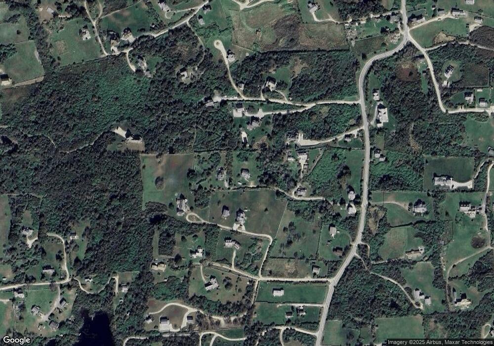
Map
Nearby Homes
- 0 Spring St
- 0 Southeast Rd Unit 1381406
- 0 Pilot Hill Rd
- 194 Pilot Hill Rd
- 1289 High St
- 256 High St
- 804 Mohegan Trail
- 1661 Sand Pond Rd
- 481 Old Town Rd
- 0 Mohegan Trail
- 1035 Mohegan Trail
- 1087 Lakeside Dr
- 1448 Mohegan Trail
- 0 Snake Hole Rd
- 1501 Beacon Hill Rd
- 1743 Corn Neck Rd
- 1328 Cooneymus Rd
- 0 Coast Guard Rd
- 1720 Corn Neck Rd
- 1713 Corn Neck Rd
- 311 Spring St
- 311 Southeast Rd
- 312 Southeast Rd
- 1277 Spring St
- 1628 Southeast Rd
- 318 Pilot Hill Rd
- 316 Southeast Rd
- 319 Southeast Rd
- 1266 Southeast Rd
- 1242 Spring St
- 1235 Pilot Hill Rd
- 1620 New Haven House Rd
- 320 Southeast Rd
- 91221 Mohegan Trail
- 9 Mohegan Trail
- 998 Southeast Rd
- 309 Southeast Rd
- 433 Southeast Rd
- 274 New Haven House Rd
- 407 Pilot Hill Rd