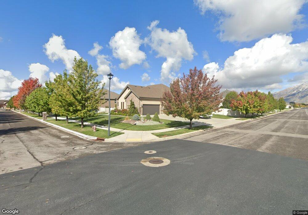
1226 W 1000 S Mapleton, UT 84664
Estimated Value: $937,000 - $1,210,000
2
Beds
4
Baths
2,516
Sq Ft
$433/Sq Ft
Est. Value
About This Home
This home is located at 1226 W 1000 S, Mapleton, UT 84664 and is currently estimated at $1,090,493, approximately $433 per square foot. 1226 W 1000 S is a home with nearby schools including Mapleton School, Mapleton Junior High School, and Maple Mountain High School.
Ownership History
Date
Name
Owned For
Owner Type
Purchase Details
Closed on
Apr 18, 2024
Sold by
Carbon Carl A and Carbon Carl
Bought by
Carbon Family Trust and Carbon
Current Estimated Value
Purchase Details
Closed on
Sep 9, 2013
Sold by
Livingston William D and Livingston Linda P
Bought by
Carbon Carl and Carbon Kay L
Purchase Details
Closed on
Nov 13, 2009
Sold by
Livingston Linda P and Livingston Linda
Bought by
Livingston William D and Livingston Linda P
Home Financials for this Owner
Home Financials are based on the most recent Mortgage that was taken out on this home.
Original Mortgage
$329,415
Interest Rate
4.83%
Mortgage Type
FHA
Purchase Details
Closed on
Aug 24, 2007
Sold by
Duck Creek Development Llc
Bought by
Livingston William and Livingston Linda
Create a Home Valuation Report for This Property
The Home Valuation Report is an in-depth analysis detailing your home's value as well as a comparison with similar homes in the area
Home Values in the Area
Average Home Value in this Area
Purchase History
| Date | Buyer | Sale Price | Title Company |
|---|---|---|---|
| Carbon Family Trust | -- | None Listed On Document | |
| Carbon Carl | -- | Title West | |
| Livingston William D | -- | Title West Spanish Fork | |
| Livingston Linda P | -- | Title West Spanish Fork | |
| Livingston William | -- | Century Title Company |
Source: Public Records
Mortgage History
| Date | Status | Borrower | Loan Amount |
|---|---|---|---|
| Previous Owner | Livingston Linda P | $329,415 |
Source: Public Records
Tax History
| Year | Tax Paid | Tax Assessment Tax Assessment Total Assessment is a certain percentage of the fair market value that is determined by local assessors to be the total taxable value of land and additions on the property. | Land | Improvement |
|---|---|---|---|---|
| 2025 | $9,419 | $1,034,300 | $336,300 | $698,000 |
| 2024 | $9,419 | $922,700 | $0 | $0 |
| 2023 | $9,891 | $975,100 | $0 | $0 |
| 2022 | $5,291 | $515,735 | $0 | $0 |
| 2021 | $4,537 | $679,000 | $220,200 | $458,800 |
| 2020 | $4,394 | $636,100 | $194,900 | $441,200 |
| 2019 | $3,799 | $561,300 | $194,900 | $366,400 |
| 2018 | $3,786 | $532,600 | $166,500 | $366,100 |
| 2017 | $3,806 | $284,130 | $0 | $0 |
| 2016 | $3,678 | $272,965 | $0 | $0 |
| 2015 | $3,416 | $251,955 | $0 | $0 |
| 2014 | $3,417 | $261,965 | $0 | $0 |
Source: Public Records
Map
Nearby Homes
- 1158 S 980 W
- 1352 W 900 S
- 896 W 675 S
- 715 W 4600 S Unit Lot I303
- 715 W 4600 S Unit Lot I304
- 415 S 1200 W
- 1997 W Crescent Dr
- 161 W 250 S
- 473 W 350 S Unit 31
- 509 W 350 S Unit 30
- 1656 W 300 S Unit B
- 1655 W 200 S Unit A
- 4664 S 680 W Unit S204
- 4664 S 680 W Unit S203
- 4664 S 680 W Unit S302
- 4664 S 680 W Unit S303
- 4664 S 680 W Unit S201
- 4664 S 680 W Unit S202
- 4664 S 680 W Unit S304
- 4664 S 680 W Unit S301
- 1725 S 1950 W
- 1266 W 1000 S
- 928 S 1200 W
- 975 S 1200 W Unit 2
- 1001 S 1200 W Unit 1
- 1267 W 900 S Unit 25
- 1243 W 1000 S
- 1298 W 1000 S
- 925 S 1200 W
- 1297 W 900 S Unit 24
- 1297 W 900 S
- 1027 S 1200 W
- 1027 S 1200 W Unit 10
- 1167 W 900 S Unit 3
- 1334 W 1000 S
- 1307 W 1000 S
- 1094 S 1200 W Unit 13
- 927 S 1350 W
- 1228 W 900 S Unit 7
- 1228 W 900 S
Your Personal Tour Guide
Ask me questions while you tour the home.