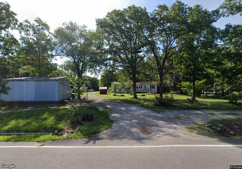
1226 W Springfield Rd Saint Clair, MO 63077
Estimated Value: $398,000
2
Beds
2
Baths
1,568
Sq Ft
$254/Sq Ft
Est. Value
About This Home
This home is located at 1226 W Springfield Rd, Saint Clair, MO 63077 and is currently estimated at $398,000, approximately $253 per square foot. 1226 W Springfield Rd is a home located in Franklin County with nearby schools including St. Clair Elementary School, Edgar Murray Elementary School, and St. Clair Junior High School.
Ownership History
Date
Name
Owned For
Owner Type
Purchase Details
Closed on
Jun 3, 2025
Sold by
Cook Delores A and Cook James
Bought by
Holden Michael and Holden Patricia
Current Estimated Value
Home Financials for this Owner
Home Financials are based on the most recent Mortgage that was taken out on this home.
Original Mortgage
$95,000
Outstanding Balance
$94,437
Interest Rate
6.81%
Mortgage Type
New Conventional
Estimated Equity
$303,563
Purchase Details
Closed on
Jun 28, 2005
Sold by
Cook Delores A and Cook James
Bought by
Cook Delores and Cook James
Home Financials for this Owner
Home Financials are based on the most recent Mortgage that was taken out on this home.
Original Mortgage
$31,446
Interest Rate
5.63%
Mortgage Type
FHA
Create a Home Valuation Report for This Property
The Home Valuation Report is an in-depth analysis detailing your home's value as well as a comparison with similar homes in the area
Home Values in the Area
Average Home Value in this Area
Purchase History
| Date | Buyer | Sale Price | Title Company |
|---|---|---|---|
| Holden Michael | -- | None Listed On Document | |
| Cook Delores | -- | None Available |
Source: Public Records
Mortgage History
| Date | Status | Borrower | Loan Amount |
|---|---|---|---|
| Open | Holden Michael | $95,000 | |
| Previous Owner | Cook Delores | $31,446 |
Source: Public Records
Tax History
| Year | Tax Paid | Tax Assessment Tax Assessment Total Assessment is a certain percentage of the fair market value that is determined by local assessors to be the total taxable value of land and additions on the property. | Land | Improvement |
|---|---|---|---|---|
| 2025 | $535 | $8,846 | $0 | $0 |
| 2024 | $535 | $7,174 | $0 | $0 |
| 2023 | $391 | $7,174 | $0 | $0 |
| 2022 | $344 | $6,293 | $0 | $0 |
| 2021 | $367 | $6,726 | $0 | $0 |
| 2020 | $409 | $7,178 | $0 | $0 |
| 2019 | $458 | $8,113 | $0 | $0 |
| 2018 | $441 | $7,712 | $0 | $0 |
| 2017 | $440 | $7,712 | $0 | $0 |
| 2016 | $447 | $7,822 | $0 | $0 |
| 2015 | $411 | $7,822 | $0 | $0 |
| 2014 | $441 | $8,377 | $0 | $0 |
Source: Public Records
Map
Nearby Homes
- 1149 Elm Tree Ct
- 1155 Crabapple Ln
- 0 Peacock Rd
- 1675 Peacock Rd
- 481 Family Rd
- 480 Lone Pine Ln
- 719 White Dogwood Ct
- 0 Oakwood Dr
- 505 Rosehill Ln
- 440 Lake Shore Dr
- 445 Lakeshore Dr
- 111 Wrenwood Dr
- 1420 Sandpiper Dr
- 0 Crescent Lake Rd Unit MIS25079528
- 766 Eagles View Ln
- 347 Roller Rd
- 1008 Cathy Cir
- 531 Pickles Ford Rd
- 208 Mosley Ave
- 5 Lots Mosley Ave
- 1218 W Springfield Rd
- 1222 W Springfield Rd
- 1232 W Springfield Rd
- 1232 W Springfield Rd
- 1214 W Springfield Rd
- 1244 W Springfield Rd
- 1212 W Springfield Rd
- 1601 S Service Rd
- 1097 Crabapple Ln
- 1256 W Springfield Rd
- 1256 W Springfield Rd
- 1109 Crabapple Ln
- 1120 Springfield Loop Rd
- 1055 Crabapple Ln
- 1043 Crabapple Ln
- 1114 Crabapple Ln
- 1031 Crabapple Ln
- 1010 Crabapple Ln
- 1120 Crabapple Ln
- 1387 N Service Rd W
Your Personal Tour Guide
Ask me questions while you tour the home.