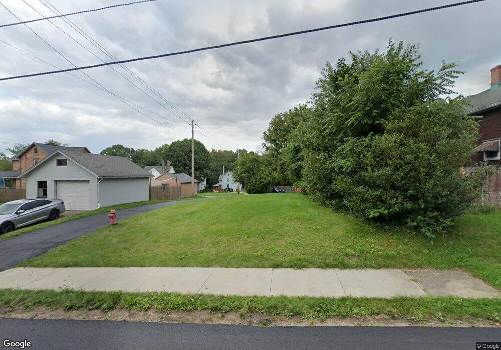
1226 Willow Ave Alliance, OH 44601
Estimated Value: $99,000
3
Beds
1
Bath
1,037
Sq Ft
$95/Sq Ft
Est. Value
About This Home
This home is located at 1226 Willow Ave, Alliance, OH 44601 and is currently estimated at $99,000, approximately $95 per square foot. 1226 Willow Ave is a home located in Stark County with nearby schools including Alliance Elementary School at Rockhill, Alliance Intermediate School at Northside, and Alliance Middle School.
Ownership History
Date
Name
Owned For
Owner Type
Purchase Details
Closed on
May 20, 2024
Sold by
Stark Cnty Land Reutilization
Bought by
Alliance City and Alliance Land Reutilizati
Current Estimated Value
Purchase Details
Closed on
Oct 17, 2018
Sold by
Stark County Land Reutilization Corporat
Bought by
Stark County Regional Planning Commissio
Purchase Details
Closed on
Jul 21, 2017
Sold by
Ward Jack
Bought by
Stark County Land Reutilization Corp
Create a Home Valuation Report for This Property
The Home Valuation Report is an in-depth analysis detailing your home's value as well as a comparison with similar homes in the area
Home Values in the Area
Average Home Value in this Area
Purchase History
| Date | Buyer | Sale Price | Title Company |
|---|---|---|---|
| Alliance City | -- | None Listed On Document | |
| Stark County Regional Planning Commissio | -- | None Available | |
| Stark County Land Reutilization Corp | -- | None Available |
Source: Public Records
Tax History
| Year | Tax Paid | Tax Assessment Tax Assessment Total Assessment is a certain percentage of the fair market value that is determined by local assessors to be the total taxable value of land and additions on the property. | Land | Improvement |
|---|---|---|---|---|
| 2025 | -- | $1,300 | $1,300 | -- |
| 2024 | -- | $1,470 | $1,470 | -- |
| 2023 | $0 | $1,160 | $1,160 | $0 |
| 2022 | $406 | $1,160 | $1,160 | $0 |
| 2021 | $406 | $1,160 | $1,160 | $0 |
| 2019 | $46 | $10,780 | $2,310 | $8,470 |
Source: Public Records
Map
Nearby Homes
- 1157 Woodland Ave
- 1522 Wade Ave
- 22862 Norman Ave
- 22846 Norman Ave
- 834 Devine St
- 1424 S Liberty Ave
- 855 E College St
- 955 E Summit St
- 1650 S Liberty Ave
- 900 S Seneca Ave
- 624 E College St
- 1044 S Freedom Ave
- 442 S Liberty Ave
- 452 E Summit St
- 225 Shadyside Ct
- V/L S Freedom Ave
- 90 N Mahoning Ave
- 1245 Jersey St
- 2540 S Mahoning Ave
- 223 E Oxford St
- 1236 Willow Ave
- 1403 South St
- 1415 South St
- 1229 Willow Ave
- 1239 Willow Ave
- 1347 South St
- 1237 S Mahoning Ave
- 1345 1347 South St
- 1345 South St
- 1255 S Mahoning Ave
- 1205 S Mahoning Ave
- 1315 South St
- 1234 Meadow Ave
- 1420 South St
- 1406 South St
- 1416 South St
- 1340 South St
- 1307 South St Unit 1315
- 1307 South St
- 1187 S Mahoning Ave
Your Personal Tour Guide
Ask me questions while you tour the home.