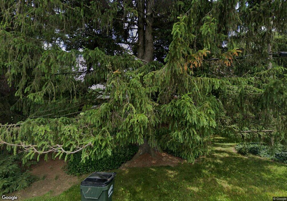
12260 Doylestown Rd Rittman, OH 44270
Estimated Value: $296,000 - $360,000
3
Beds
2
Baths
1,708
Sq Ft
$191/Sq Ft
Est. Value
About This Home
This home is located at 12260 Doylestown Rd, Rittman, OH 44270 and is currently estimated at $325,780, approximately $190 per square foot. 12260 Doylestown Rd is a home located in Wayne County with nearby schools including Rittman Elementary School, Rittman Middle School, and Rittman High School.
Ownership History
Date
Name
Owned For
Owner Type
Purchase Details
Closed on
Dec 15, 2004
Sold by
Brown James R
Bought by
Slater Priscilla M and Slater Vicki L
Current Estimated Value
Purchase Details
Closed on
Oct 31, 1995
Sold by
Goodman Lawrence W
Bought by
Young Edward W and Young Linda J
Home Financials for this Owner
Home Financials are based on the most recent Mortgage that was taken out on this home.
Original Mortgage
$56,000
Interest Rate
7.65%
Mortgage Type
New Conventional
Purchase Details
Closed on
Oct 29, 1991
Sold by
Goodman Lawrence W and Goodman Rose
Bought by
Goodman Lawrence W and Goodman Rose
Create a Home Valuation Report for This Property
The Home Valuation Report is an in-depth analysis detailing your home's value as well as a comparison with similar homes in the area
Home Values in the Area
Average Home Value in this Area
Purchase History
| Date | Buyer | Sale Price | Title Company |
|---|---|---|---|
| Slater Priscilla M | $40,000 | Minnesota Insured Title Agen | |
| Young Edward W | $152,000 | -- | |
| Goodman Lawrence W | -- | -- |
Source: Public Records
Mortgage History
| Date | Status | Borrower | Loan Amount |
|---|---|---|---|
| Previous Owner | Young Edward W | $56,000 |
Source: Public Records
Tax History Compared to Growth
Tax History
| Year | Tax Paid | Tax Assessment Tax Assessment Total Assessment is a certain percentage of the fair market value that is determined by local assessors to be the total taxable value of land and additions on the property. | Land | Improvement |
|---|---|---|---|---|
| 2024 | $3,622 | $97,950 | $27,060 | $70,890 |
| 2023 | $3,622 | $97,950 | $27,060 | $70,890 |
| 2022 | $3,311 | $71,490 | $19,750 | $51,740 |
| 2021 | $2,952 | $71,490 | $19,750 | $51,740 |
| 2020 | $3,011 | $71,490 | $19,750 | $51,740 |
| 2019 | $2,761 | $63,440 | $18,240 | $45,200 |
| 2018 | $2,783 | $63,440 | $18,240 | $45,200 |
| 2017 | $2,693 | $63,440 | $18,240 | $45,200 |
| 2016 | $2,710 | $61,000 | $17,540 | $43,460 |
| 2015 | $2,619 | $61,000 | $17,540 | $43,460 |
| 2014 | $2,638 | $61,000 | $17,540 | $43,460 |
| 2013 | $2,713 | $62,880 | $19,290 | $43,590 |
Source: Public Records
Map
Nearby Homes
- 0 E Ohio Ave Unit 5118655
- 247 E Sunset Dr
- 22, 23 Gish Rd
- 200 Industrial St
- 245 Industrial St
- 13270 Doylestown Rd
- 42 N State St
- 41 E Ohio Ave
- 176 N Main St
- 16 S State St
- 53 Thonen St
- 27 S State St
- 53 Grant St
- 355 N Main St
- 34 Fairlawn Ave
- 56 Salt St
- 54 Salt St
- 64 Sheldon St
- 109 W Sunset Dr
- 13293 Hatfield Rd
- 12308 Doylestown Rd
- 12229 Doylestown Rd
- 12297 Doylestown Rd
- 12201 Doylestown Rd
- 12340 Doylestown Rd
- 12199 Shondel Rd
- 12245 Shondel Rd
- 12382 Doylestown Rd
- 12255 Shondel Rd
- 12458 Doylestown Rd
- 12122 Doylestown Spur
- 12286 Shondel Rd
- 12070 Doylestown Spur
- 12451 Doylestown Rd
- 12459 Doylestown Rd
- 12468 Doylestown Rd
- 12339 Shondel Rd
- 14655 Shondel Rd
- 14571 Shondel Rd
- 12491 Doylestown Rd
