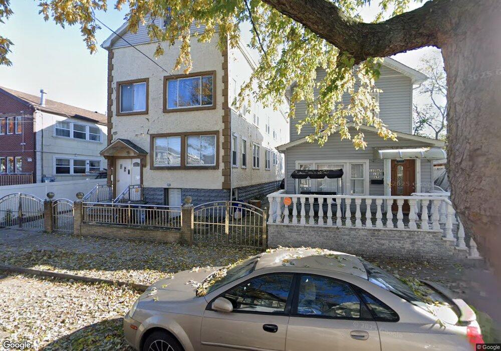
12263 134th St South Ozone Park, NY 11420
South Ozone Park NeighborhoodEstimated Value: $1,126,121 - $1,335,000
--
Bed
--
Bath
2,880
Sq Ft
$417/Sq Ft
Est. Value
About This Home
This home is located at 12263 134th St, South Ozone Park, NY 11420 and is currently estimated at $1,201,530, approximately $417 per square foot. 12263 134th St is a home located in Queens County with nearby schools including P.S. 96, J.H.S. 226 Virgil I. Grisson, and John Adams High School.
Ownership History
Date
Name
Owned For
Owner Type
Purchase Details
Closed on
Jun 14, 2024
Sold by
Dianne Kevelier Smith and Dianne Erna Hutchinson
Bought by
122-68 134Th St Llc
Current Estimated Value
Home Financials for this Owner
Home Financials are based on the most recent Mortgage that was taken out on this home.
Original Mortgage
$852,000
Outstanding Balance
$841,065
Interest Rate
6.99%
Mortgage Type
Purchase Money Mortgage
Estimated Equity
$360,465
Create a Home Valuation Report for This Property
The Home Valuation Report is an in-depth analysis detailing your home's value as well as a comparison with similar homes in the area
Home Values in the Area
Average Home Value in this Area
Purchase History
| Date | Buyer | Sale Price | Title Company |
|---|---|---|---|
| 122-68 134Th St Llc | $1,065,000 | -- |
Source: Public Records
Mortgage History
| Date | Status | Borrower | Loan Amount |
|---|---|---|---|
| Open | 122-68 134Th St Llc | $852,000 |
Source: Public Records
Tax History Compared to Growth
Tax History
| Year | Tax Paid | Tax Assessment Tax Assessment Total Assessment is a certain percentage of the fair market value that is determined by local assessors to be the total taxable value of land and additions on the property. | Land | Improvement |
|---|---|---|---|---|
| 2025 | $7,796 | $41,145 | $8,215 | $32,930 |
| 2024 | $7,796 | $38,816 | $9,285 | $29,531 |
| 2023 | $7,796 | $38,816 | $7,836 | $30,980 |
| 2022 | $7,690 | $58,980 | $14,280 | $44,700 |
| 2021 | $7,648 | $48,900 | $14,280 | $34,620 |
| 2020 | $7,258 | $51,540 | $14,280 | $37,260 |
| 2019 | $6,767 | $56,760 | $14,280 | $42,480 |
| 2018 | $6,594 | $32,347 | $8,689 | $23,658 |
| 2017 | $6,544 | $32,102 | $9,974 | $22,128 |
| 2016 | $6,054 | $32,102 | $9,974 | $22,128 |
| 2015 | $3,433 | $28,573 | $9,492 | $19,081 |
| 2014 | $3,433 | $26,956 | $10,750 | $16,206 |
Source: Public Records
Map
Nearby Homes
- 123-45 135th St
- 12321 135th St
- 13410 Sutter Ave
- 135-40 Alwick Rd
- 129-13 135th Place
- 129-28 135th Place
- 12940 135th St
- 120-56 132nd St
- 120-36 132nd St
- 129-55 134th St
- 13305 120th Ave
- 131-10 134th St
- 132-01 131st Ave
- 137-04 130th Ave
- 13013 Sutter Ave
- 13121 133rd St
- 141-08 Rockaway Blvd
- 117-67 140th St
- 11763 140th St
- 12826 Gotham Rd
- 12267 134th St
- 122-63 134th St
- 12259 134th St
- 122-67 134th St
- 122-57 134th St
- 12257 134th St
- 12257 134th St
- 12271 134th St
- 12271 134th St
- 12271 134th St
- 12255 134th St
- 13407 Sutter Ave
- 13409 Sutter Ave
- 13405 Sutter Ave
- 12362 135th St
- 13411 Sutter Ave
- 122-67 134 St
- 12364 135th St
- 12358 135th St
- 12364 135th St