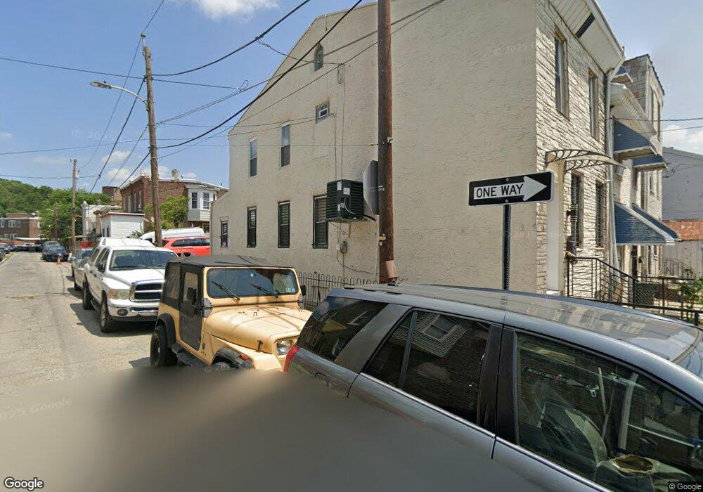
1227 Adams Ave Philadelphia, PA 19124
Frankford NeighborhoodEstimated Value: $141,000 - $201,000
--
Bed
--
Bath
1,280
Sq Ft
$138/Sq Ft
Est. Value
About This Home
This home is located at 1227 Adams Ave, Philadelphia, PA 19124 and is currently estimated at $176,215, approximately $137 per square foot. 1227 Adams Ave is a home located in Philadelphia County with nearby schools including John Marshall School, Harding Warren G Middle School, and Frankford High School.
Ownership History
Date
Name
Owned For
Owner Type
Purchase Details
Closed on
May 15, 2019
Sold by
Cruz Jenny
Bought by
Abh Investments Llc
Current Estimated Value
Purchase Details
Closed on
Aug 9, 2001
Sold by
Dangelo William and Deangelo Christine
Bought by
Cruz Jenny
Home Financials for this Owner
Home Financials are based on the most recent Mortgage that was taken out on this home.
Original Mortgage
$43,098
Interest Rate
7.16%
Mortgage Type
FHA
Create a Home Valuation Report for This Property
The Home Valuation Report is an in-depth analysis detailing your home's value as well as a comparison with similar homes in the area
Home Values in the Area
Average Home Value in this Area
Purchase History
| Date | Buyer | Sale Price | Title Company |
|---|---|---|---|
| Abh Investments Llc | $3,600 | None Available | |
| Cruz Jenny | $43,000 | -- |
Source: Public Records
Mortgage History
| Date | Status | Borrower | Loan Amount |
|---|---|---|---|
| Previous Owner | Cruz Jenny | $43,098 |
Source: Public Records
Tax History Compared to Growth
Tax History
| Year | Tax Paid | Tax Assessment Tax Assessment Total Assessment is a certain percentage of the fair market value that is determined by local assessors to be the total taxable value of land and additions on the property. | Land | Improvement |
|---|---|---|---|---|
| 2026 | $1,274 | $133,800 | $26,700 | $107,100 |
| 2025 | $1,274 | $133,800 | $26,700 | $107,100 |
| 2024 | $1,274 | $133,800 | $26,700 | $107,100 |
| 2023 | $1,274 | $91,000 | $18,200 | $72,800 |
| 2022 | $644 | $46,000 | $18,200 | $27,800 |
| 2021 | $932 | $0 | $0 | $0 |
| 2020 | $932 | $0 | $0 | $0 |
| 2019 | $894 | $0 | $0 | $0 |
| 2018 | $1,047 | $0 | $0 | $0 |
| 2017 | $1,047 | $0 | $0 | $0 |
| 2016 | $627 | $0 | $0 | $0 |
| 2015 | $600 | $0 | $0 | $0 |
| 2014 | -- | $74,800 | $22,762 | $52,038 |
| 2012 | -- | $7,840 | $1,306 | $6,534 |
Source: Public Records
Map
Nearby Homes
- 1319 Church St
- 4328 Leiper St
- 1208 Unity St
- 4431 Oakland St
- 1417 Unity St
- 1419 Unity St
- 1338-40 Sellers St
- 1348 Sellers St
- 4461 Leiper St
- 1361 Sellers St
- 1424 Sellers St
- 4254 O St
- 1337 Sellers St
- 1501 Womrath St
- 1241 Orthodox St
- 1519 Womrath St
- 4600 Horrocks St
- 4742 Frankford Ave
- 4264 Neilson St
- 1507 Adams Ave
- 1229 Adams Ave
- 1231 Adams Ave Unit 35
- 1225 Adams Ave
- 1223 Adams Ave
- 4317 Pilling St Unit 19
- 1237 Adams Ave
- 1219 Adams Ave
- 4312 Pilling St
- 1239 Adams Ave
- 4321 Pilling St
- 4314 Pilling St
- 4323 Pilling St
- 4318 Pilling St
- 1215 Adams Ave
- 1241 Adams Ave
- 1232 Adams Ave
- 1220 Adams Ave
- 1226 Adams Ave
- 4320 Pilling St
- 4322 Pilling St