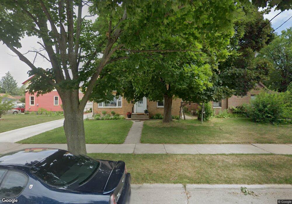
1227 Crooks St Green Bay, WI 54301
Joannes Park NeighborhoodEstimated Value: $240,720 - $277,000
4
Beds
2
Baths
2,140
Sq Ft
$121/Sq Ft
Est. Value
About This Home
This home is located at 1227 Crooks St, Green Bay, WI 54301 and is currently estimated at $259,930, approximately $121 per square foot. 1227 Crooks St is a home located in Brown County with nearby schools including Howe Elementary Community School, Washington Middle School, and East High School.
Ownership History
Date
Name
Owned For
Owner Type
Purchase Details
Closed on
Aug 11, 1998
Sold by
Streu Mary A and Denil Florence M
Bought by
Wiesneth Michael A
Current Estimated Value
Home Financials for this Owner
Home Financials are based on the most recent Mortgage that was taken out on this home.
Original Mortgage
$68,800
Interest Rate
7.07%
Create a Home Valuation Report for This Property
The Home Valuation Report is an in-depth analysis detailing your home's value as well as a comparison with similar homes in the area
Home Values in the Area
Average Home Value in this Area
Purchase History
| Date | Buyer | Sale Price | Title Company |
|---|---|---|---|
| Wiesneth Michael A | $86,000 | Bay Title & Abstract Inc |
Source: Public Records
Mortgage History
| Date | Status | Borrower | Loan Amount |
|---|---|---|---|
| Closed | Wiesneth Michael A | $68,800 |
Source: Public Records
Tax History Compared to Growth
Tax History
| Year | Tax Paid | Tax Assessment Tax Assessment Total Assessment is a certain percentage of the fair market value that is determined by local assessors to be the total taxable value of land and additions on the property. | Land | Improvement |
|---|---|---|---|---|
| 2024 | $2,834 | $157,000 | $29,600 | $127,400 |
| 2023 | $2,685 | $157,000 | $29,600 | $127,400 |
| 2022 | $2,642 | $157,000 | $29,600 | $127,400 |
| 2021 | $3,028 | $134,500 | $15,000 | $119,500 |
| 2020 | $3,072 | $134,500 | $15,000 | $119,500 |
| 2019 | $2,971 | $134,500 | $15,000 | $119,500 |
| 2018 | $2,905 | $134,500 | $15,000 | $119,500 |
| 2017 | $2,876 | $134,500 | $15,000 | $119,500 |
| 2016 | $2,829 | $134,500 | $15,000 | $119,500 |
| 2015 | $2,931 | $134,500 | $15,000 | $119,500 |
| 2014 | $3,008 | $134,500 | $15,000 | $119,500 |
| 2013 | $3,008 | $134,500 | $15,000 | $119,500 |
Source: Public Records
Map
Nearby Homes
- 1239 Stuart St
- 329 S Clay St
- 605 S Clay St
- 1174 Cherry St
- 1360 E Mason St
- 1250 Cass St
- 1015 E Walnut St
- 201 S Van Buren St
- 416 S Van Buren St
- 1173 Lawe St
- 201 N Van Buren St
- 815 S Clay St
- 905 S Irwin Ave
- 316 N Van Buren St
- 1259 Eliza St
- 614 N Baird St
- 442 Bellevue St
- 1482 Elm St
- 410 Cass St Unit 2
- 1624 Franz Ave
- 1233 Crooks St
- 1221 Crooks St
- 1215 Crooks St
- 1239 Crooks St
- 1220 Crooks St
- 1245 Crooks St
- 1230 Crooks St
- 1209 Crooks St
- 1232 Crooks St
- 329 S Roosevelt St
- 337 S Roosevelt St
- 1251 Crooks St
- 1242 Crooks St
- 345 S Roosevelt St
- 1208 Crooks St
- 1216 Crooks St
- 325 S Roosevelt St
- 1212 Crooks St
- 1248 Crooks St
- 1257 Crooks St