1227 Highpoint Cir Black Hawk, CO 80422
Estimated Value: $476,000 - $644,000
3
Beds
2
Baths
1,264
Sq Ft
$438/Sq Ft
Est. Value
About This Home
This home is located at 1227 Highpoint Cir, Black Hawk, CO 80422 and is currently estimated at $553,042, approximately $437 per square foot. 1227 Highpoint Cir is a home located in Gilpin County with nearby schools including Gilpin County Elementary School and Gilpin County Undivided High School.
Ownership History
Date
Name
Owned For
Owner Type
Purchase Details
Closed on
Dec 21, 2021
Sold by
Halbach Beverly J
Bought by
Stackhouse Jonathan Ray and Stackhouse Rachel Alyse
Current Estimated Value
Home Financials for this Owner
Home Financials are based on the most recent Mortgage that was taken out on this home.
Original Mortgage
$456,000
Outstanding Balance
$419,456
Interest Rate
3.12%
Mortgage Type
New Conventional
Estimated Equity
$133,586
Purchase Details
Closed on
Oct 7, 2016
Sold by
Robbins Teresa J and Robbins John R
Bought by
Halbach Beverly J
Purchase Details
Closed on
Nov 21, 2006
Sold by
Hyser Theodore A
Bought by
Robbins Teresa J and Robbins John R
Home Financials for this Owner
Home Financials are based on the most recent Mortgage that was taken out on this home.
Original Mortgage
$142,000
Interest Rate
6.37%
Mortgage Type
New Conventional
Create a Home Valuation Report for This Property
The Home Valuation Report is an in-depth analysis detailing your home's value as well as a comparison with similar homes in the area
Home Values in the Area
Average Home Value in this Area
Purchase History
| Date | Buyer | Sale Price | Title Company |
|---|---|---|---|
| Stackhouse Jonathan Ray | $480,000 | None Available | |
| Halbach Beverly J | $315,000 | First American Title | |
| Robbins Teresa J | $177,500 | -- |
Source: Public Records
Mortgage History
| Date | Status | Borrower | Loan Amount |
|---|---|---|---|
| Open | Stackhouse Jonathan Ray | $456,000 | |
| Previous Owner | Robbins Teresa J | $142,000 |
Source: Public Records
Tax History Compared to Growth
Tax History
| Year | Tax Paid | Tax Assessment Tax Assessment Total Assessment is a certain percentage of the fair market value that is determined by local assessors to be the total taxable value of land and additions on the property. | Land | Improvement |
|---|---|---|---|---|
| 2024 | $878 | $31,280 | $4,080 | $27,200 |
| 2023 | $878 | $31,280 | $4,080 | $27,200 |
| 2022 | $754 | $24,420 | $2,920 | $21,500 |
| 2021 | $752 | $25,120 | $3,000 | $22,120 |
| 2020 | $641 | $22,420 | $3,430 | $18,990 |
| 2019 | $548 | $22,420 | $3,430 | $18,990 |
| 2018 | $477 | $18,470 | $2,590 | $15,880 |
| 2017 | $478 | $18,470 | $2,590 | $15,880 |
| 2016 | $393 | $15,180 | $4,140 | $11,040 |
| 2015 | -- | $15,180 | $4,140 | $11,040 |
| 2014 | -- | $13,840 | $4,460 | $9,380 |
Source: Public Records
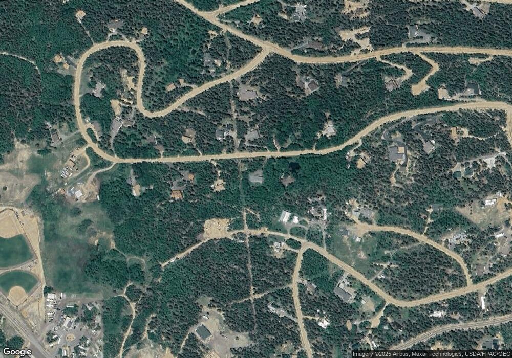
Map
Nearby Homes
- 1280 Highpoint Cir
- 0 Highpoint Cir
- 001 Peak View Dr Unit R011880
- 83 Peak View Dr
- 0 Aspen Cir
- 0 Golden Gate Canyon Rd
- 893 S Dory Lakes Dr
- 263 Dory Lakes Dr
- 602 N Dory Lakes Dr
- 233 Deer Cir
- 557 Highpoint Cir
- 798 S Dory Lakes Dr
- 356 W Dory Way
- 0 Caesar Rd
- 220 Timber Rd
- 116 Timber Rd
- 265 Caesar Rd
- 2169 Dory Hill Rd
- 760 Coyote Cir
- 300 Badger Rd
- 1179 Highpoint Cir
- 1283 Highpoint Cir
- 1172 Highpoint Cir
- 1172 Highpoint Cir
- 3 Old Dory Hill Rd
- 1305 Highpoint Cir
- 1424 High Point Cir
- 1332 Highpoint Cir
- 1792 Highpoint Cir
- 187 Forest Hill Rd
- 848 High Point Cir
- 1136 Highpoint Cir
- 164 Peak View Dr
- 1115 Highpoint Cir
- 1505 High Point Cir
- 998 Highpoint Cir
- 1334 Highpoint Cir
- 161 Peak View Dr
- 1347 High Point Cir
- 1777 Highpoint Cir