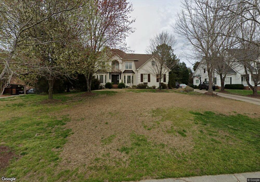
1227 Hudson Place Davidson, NC 28036
Estimated Value: $781,000 - $1,140,000
3
Beds
3
Baths
3,074
Sq Ft
$334/Sq Ft
Est. Value
About This Home
This home is located at 1227 Hudson Place, Davidson, NC 28036 and is currently estimated at $1,028,151, approximately $334 per square foot. 1227 Hudson Place is a home located in Mecklenburg County with nearby schools including Davidson Elementary School, William Amos Hough High School, and Davidson Green School.
Ownership History
Date
Name
Owned For
Owner Type
Purchase Details
Closed on
Feb 23, 2006
Sold by
Pini Ralph J and Pini Kathie S
Bought by
Donoghue Thomas M and Donoghue Margaret G
Current Estimated Value
Home Financials for this Owner
Home Financials are based on the most recent Mortgage that was taken out on this home.
Original Mortgage
$230,000
Outstanding Balance
$124,052
Interest Rate
5.5%
Mortgage Type
Fannie Mae Freddie Mac
Estimated Equity
$904,099
Create a Home Valuation Report for This Property
The Home Valuation Report is an in-depth analysis detailing your home's value as well as a comparison with similar homes in the area
Home Values in the Area
Average Home Value in this Area
Purchase History
| Date | Buyer | Sale Price | Title Company |
|---|---|---|---|
| Donoghue Thomas M | $359,000 | None Available |
Source: Public Records
Mortgage History
| Date | Status | Borrower | Loan Amount |
|---|---|---|---|
| Open | Donoghue Thomas M | $230,000 |
Source: Public Records
Tax History
| Year | Tax Paid | Tax Assessment Tax Assessment Total Assessment is a certain percentage of the fair market value that is determined by local assessors to be the total taxable value of land and additions on the property. | Land | Improvement |
|---|---|---|---|---|
| 2025 | $6,624 | $877,700 | $500,000 | $377,700 |
| 2024 | $6,624 | $877,700 | $500,000 | $377,700 |
| 2023 | $6,532 | $877,700 | $500,000 | $377,700 |
| 2022 | $5,697 | $600,600 | $235,000 | $365,600 |
| 2021 | $5,687 | $600,600 | $235,000 | $365,600 |
| 2020 | $5,687 | $600,100 | $235,000 | $365,100 |
| 2019 | $5,677 | $600,100 | $235,000 | $365,100 |
| 2018 | $5,318 | $433,800 | $168,000 | $265,800 |
| 2017 | $5,282 | $433,800 | $168,000 | $265,800 |
| 2016 | $5,278 | $433,800 | $168,000 | $265,800 |
| 2015 | $5,275 | $433,800 | $168,000 | $265,800 |
| 2014 | $5,273 | $0 | $0 | $0 |
Source: Public Records
Map
Nearby Homes
- 12309 Westbranch Pkwy
- 239 Kimberly Rd
- 131 Morrison Hill Rd
- 1425 Samuel Spencer Pkwy Unit 5
- 606 Ardrey Cir
- 11826 Westbranch Pkwy
- 1400 Samuel Spencer Pkwy
- 1413 Samuel Spencer Pkwy Unit 3
- 100 Martin St
- 1016 Concord Rd
- 19149 Newburg Hill Rd
- 1418 Samuel Spencer Pkwy
- 19146 Newburg Hill Rd
- 19140 Newburg Hill Rd Unit 36
- 19823 Davidson-Concord Rd
- 866 Concord Rd
- 11634 Westbranch Pkwy
- 1430 Samuel Spencer Pkwy Unit 13
- 19020 Newburg Hill Rd
- 19056 Newburg Hill Rd
- 1305 Hudson Place
- 1217 Hudson Place
- 1315 Hudson Place
- 1224 Hudson Place
- 1300 Hudson Place
- 315 Kimberly Rd
- 325 Kimberly Rd
- 1216 Hudson Place
- 1310 Hudson Place
- 307 Kimberly Rd
- 1150 Concord Rd
- 1323 Hudson Place
- 1208 Hudson Place
- 1320 Hudson Place
- 251 Kimberly Rd
- 12303 Westbranch Pkwy Unit 5
- 12253 Westbranch Pkwy Unit 4
- 1329 Hudson Place
- 1200 Hudson Place
- 12247 Westbranch Pkwy
Your Personal Tour Guide
Ask me questions while you tour the home.