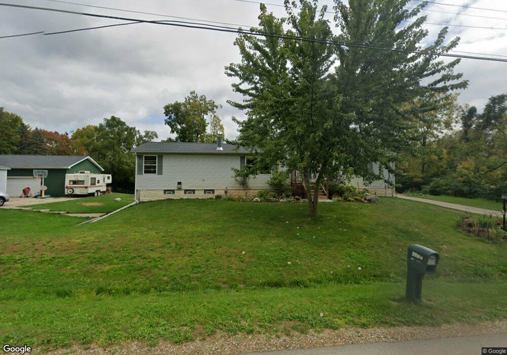
1227 Knapp Ave Jackson, MI 49203
Estimated Value: $195,000 - $209,000
5
Beds
3
Baths
2,173
Sq Ft
$92/Sq Ft
Est. Value
About This Home
This home is located at 1227 Knapp Ave, Jackson, MI 49203 and is currently estimated at $200,333, approximately $92 per square foot. 1227 Knapp Ave is a home located in Jackson County with nearby schools including Middle School at Parkside, Jackson High School, and St. Mary Star of the Sea School.
Ownership History
Date
Name
Owned For
Owner Type
Purchase Details
Closed on
Oct 11, 2017
Sold by
Smith Loren B and Smith Loren E
Bought by
Smith Daniel C
Current Estimated Value
Home Financials for this Owner
Home Financials are based on the most recent Mortgage that was taken out on this home.
Original Mortgage
$88,842
Outstanding Balance
$61,533
Interest Rate
3.85%
Mortgage Type
New Conventional
Estimated Equity
$138,800
Purchase Details
Closed on
Sep 21, 2014
Sold by
Canty Kristin D
Bought by
Smith Daniel C
Create a Home Valuation Report for This Property
The Home Valuation Report is an in-depth analysis detailing your home's value as well as a comparison with similar homes in the area
Home Values in the Area
Average Home Value in this Area
Purchase History
| Date | Buyer | Sale Price | Title Company |
|---|---|---|---|
| Smith Daniel C | $88,415 | None Available | |
| Smith Daniel C | -- | None Available |
Source: Public Records
Mortgage History
| Date | Status | Borrower | Loan Amount |
|---|---|---|---|
| Open | Smith Daniel C | $88,842 |
Source: Public Records
Tax History
| Year | Tax Paid | Tax Assessment Tax Assessment Total Assessment is a certain percentage of the fair market value that is determined by local assessors to be the total taxable value of land and additions on the property. | Land | Improvement |
|---|---|---|---|---|
| 2025 | $2,101 | $79,700 | $0 | $0 |
| 2024 | $13 | $67,700 | $0 | $0 |
| 2023 | $1,281 | $62,100 | $0 | $0 |
| 2022 | $1,923 | $48,400 | $0 | $0 |
| 2021 | $2,007 | $55,600 | $0 | $0 |
| 2020 | $1,985 | $55,400 | $0 | $0 |
| 2019 | $1,966 | $51,500 | $0 | $0 |
| 2018 | $1,897 | $50,300 | $0 | $0 |
| 2017 | $1,522 | $50,800 | $0 | $0 |
| 2016 | $1,008 | $50,400 | $50,400 | $0 |
| 2015 | $1,460 | $48,800 | $48,800 | $0 |
| 2014 | $1,460 | $48,500 | $0 | $0 |
| 2013 | -- | $48,500 | $48,500 | $0 |
Source: Public Records
Map
Nearby Homes
- 1139 S Dettman Rd
- 1156 Knapp St
- 2718 Page Ave
- 900 S Roberts St
- O Research Dr
- Vl Watts St
- 781 Tomlinson St
- 509 S Gorham St
- 317 Lockwood St
- 3975 Mcarthur Rd
- VL Losey St
- 2300 Helena Ave
- 2401 Vining St
- 1506 Pringle Ave
- 111 N Forbes St
- 106 N Dwight St
- 4109 Page Ave
- 149 Mantle Ave
- 210 Watts Rd
- 131 Willow St
- 1238 Knapp St
- 1238 Knapp St
- 1217 Knapp Ave
- 1234 Knapp Ave
- 1222 Knapp Ave
- 1222 Knapp Ave
- 1220 Knapp Ave
- 1216 S Dettman Rd
- 1201 Knapp Ave
- 1201 Knapp Ave
- 1216 Knapp Ave
- 1216 Knapp Ave
- 1216 Knapp Ave
- 1255 Knapp Ave
- 1255 Knapp Ave
- 1255 Knapp Ave
- 1214 S Dettman Rd
- 1214 S Dettman Rd
- 1233 Carson Ave
- 1227 Carson Ave
Your Personal Tour Guide
Ask me questions while you tour the home.