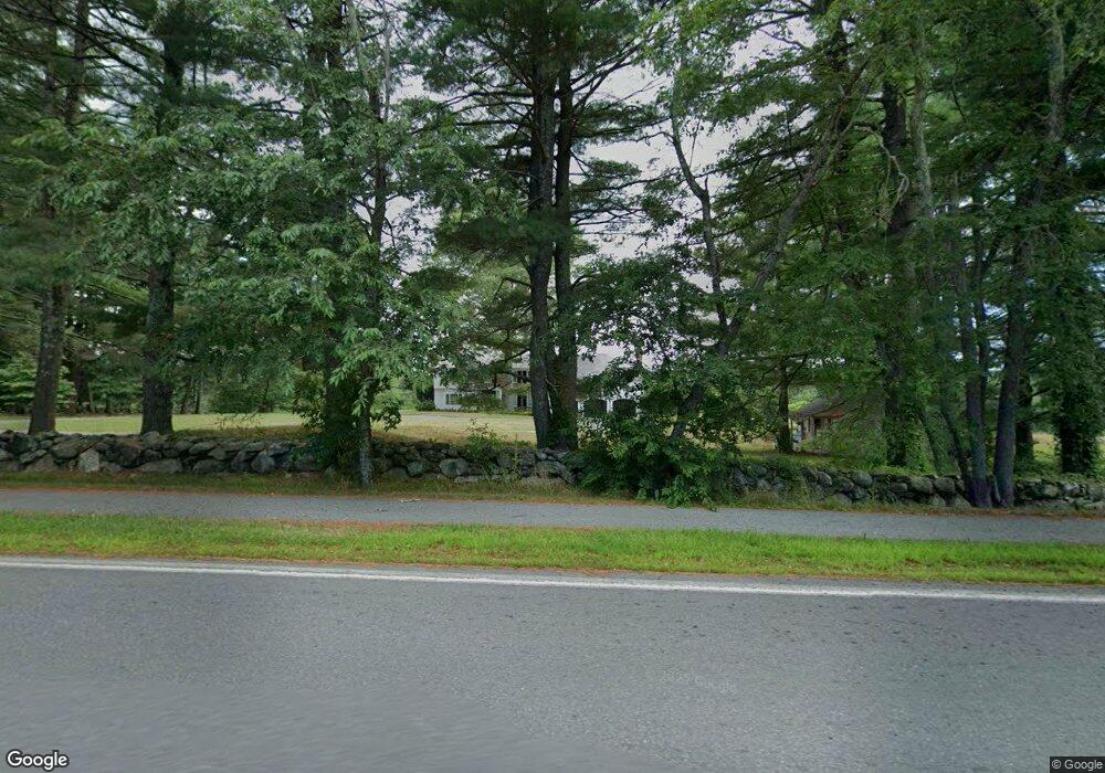
1227 Lowell Rd Concord, MA 01742
Estimated Value: $2,929,000 - $3,368,025
5
Beds
6
Baths
6,655
Sq Ft
$482/Sq Ft
Est. Value
About This Home
This home is located at 1227 Lowell Rd, Concord, MA 01742 and is currently estimated at $3,211,008, approximately $482 per square foot. 1227 Lowell Rd is a home located in Middlesex County with nearby schools including Thoreau Elementary School, Concord Middle School, and Concord Carlisle High School.
Ownership History
Date
Name
Owned For
Owner Type
Purchase Details
Closed on
Mar 9, 1993
Sold by
Est Busk Harriet L and Bigelow Edward L
Bought by
Stafford Susan A
Current Estimated Value
Create a Home Valuation Report for This Property
The Home Valuation Report is an in-depth analysis detailing your home's value as well as a comparison with similar homes in the area
Home Values in the Area
Average Home Value in this Area
Purchase History
| Date | Buyer | Sale Price | Title Company |
|---|---|---|---|
| Stafford Susan A | $600,000 | -- |
Source: Public Records
Mortgage History
| Date | Status | Borrower | Loan Amount |
|---|---|---|---|
| Open | Stafford Susan A | $500,000 | |
| Closed | Stafford Susan A | $300,000 | |
| Closed | Stafford Susan A | $500,000 |
Source: Public Records
Tax History
| Year | Tax Paid | Tax Assessment Tax Assessment Total Assessment is a certain percentage of the fair market value that is determined by local assessors to be the total taxable value of land and additions on the property. | Land | Improvement |
|---|---|---|---|---|
| 2025 | $386 | $2,907,700 | $632,200 | $2,275,500 |
| 2024 | $37,852 | $2,882,900 | $632,200 | $2,250,700 |
| 2023 | $30,912 | $2,385,200 | $575,200 | $1,810,000 |
| 2022 | $31,042 | $2,103,100 | $461,300 | $1,641,800 |
| 2021 | $30,388 | $2,064,400 | $461,300 | $1,603,100 |
| 2020 | $30,202 | $2,122,400 | $461,300 | $1,661,100 |
| 2019 | $28,450 | $2,004,900 | $425,400 | $1,579,500 |
| 2018 | $28,616 | $2,002,500 | $426,700 | $1,575,800 |
| 2017 | $27,738 | $1,971,400 | $437,000 | $1,534,400 |
| 2016 | $27,360 | $1,965,500 | $416,700 | $1,548,800 |
| 2015 | $25,696 | $1,798,200 | $386,000 | $1,412,200 |
Source: Public Records
Map
Nearby Homes
- 316 Lindsay Pond Rd
- 107 Westford Rd
- 495 Hugh Cargill Rd
- 735 Lowell Rd
- 735 Lowell Rd Lot 1 Land
- 853 Strawberry Hill Rd
- 110 Spencer Brook Rd
- 265 College Rd
- 104 Channing Rd
- 2 Duston Ln
- 308 Musterfield Rd
- 244 Musterfield Rd
- 134 Pope Rd
- 101 Adams Rd
- 1437-3 Monument St
- 79-81 Assabet Ave
- 29 Willard Common
- 49 Willard Common
- 315 Musketaquid Rd
- 1 Baker Ave
- 1195 Lowell Rd
- 1250 Lowell Rd
- 1228 Lowell Rd
- 1266 Lowell Rd
- 25 Lindsay Pond Rd
- 1196 Lowell Rd
- 1172 Lowell Rd
- 1155 Lowell Rd
- 1200 Lowell Rd
- 1208 Lowell Rd
- 1325 Lowell Rd
- 1341 Lowell Rd
- 1117 Lowell Rd
- 1114 Lowell Rd
- 1127 Lowell Rd
- 1101 Lowell Rd
- 163 Lindsay Pond Rd
- 163 Lindsay Pond Rd Unit 1
- 1084 Lowell Rd
- 1075 Lowell Rd
Your Personal Tour Guide
Ask me questions while you tour the home.