1227 Monroe Dr Unit 361NP Hebron, KY 41048
Estimated Value: $368,530 - $414,000
3
Beds
2
Baths
1,616
Sq Ft
$240/Sq Ft
Est. Value
About This Home
This home is located at 1227 Monroe Dr Unit 361NP, Hebron, KY 41048 and is currently estimated at $387,133, approximately $239 per square foot. 1227 Monroe Dr Unit 361NP is a home located in Boone County with nearby schools including North Pointe Elementary School, Conner Middle School, and Conner High School.
Ownership History
Date
Name
Owned For
Owner Type
Purchase Details
Closed on
Mar 2, 2018
Sold by
Metzger David G and Metzger Theresa L
Bought by
Wiesner William Edwin and Wiesner Karen Lynn
Current Estimated Value
Purchase Details
Closed on
May 25, 2017
Sold by
Cartus Financial Corp
Bought by
Metzger David G and Metzger Theresa L
Home Financials for this Owner
Home Financials are based on the most recent Mortgage that was taken out on this home.
Original Mortgage
$190,800
Interest Rate
3.97%
Mortgage Type
New Conventional
Purchase Details
Closed on
Jan 10, 2017
Sold by
Danielson John E and Danielson Susan K
Bought by
Cartus Financial Corp
Purchase Details
Closed on
Mar 10, 2014
Sold by
Arlinghaus Builders Inc
Bought by
Danielson John E and Danielson Susan K
Create a Home Valuation Report for This Property
The Home Valuation Report is an in-depth analysis detailing your home's value as well as a comparison with similar homes in the area
Home Values in the Area
Average Home Value in this Area
Purchase History
| Date | Buyer | Sale Price | Title Company |
|---|---|---|---|
| Wiesner William Edwin | $254,000 | None Available | |
| Metzger David G | $238,500 | Freibert & Mattingly Title G | |
| Cartus Financial Corp | $263,250 | Metro Title Llc | |
| Danielson John E | $238,000 | None Available |
Source: Public Records
Mortgage History
| Date | Status | Borrower | Loan Amount |
|---|---|---|---|
| Previous Owner | Metzger David G | $190,800 |
Source: Public Records
Tax History Compared to Growth
Tax History
| Year | Tax Paid | Tax Assessment Tax Assessment Total Assessment is a certain percentage of the fair market value that is determined by local assessors to be the total taxable value of land and additions on the property. | Land | Improvement |
|---|---|---|---|---|
| 2024 | $2,865 | $268,700 | $40,000 | $228,700 |
| 2023 | $2,812 | $263,300 | $30,000 | $233,300 |
| 2022 | $2,824 | $263,300 | $30,000 | $233,300 |
| 2021 | $2,895 | $263,300 | $30,000 | $233,300 |
| 2020 | $2,872 | $263,300 | $30,000 | $233,300 |
| 2019 | $2,894 | $263,300 | $30,000 | $233,300 |
| 2018 | $2,924 | $263,300 | $30,000 | $233,300 |
| 2017 | $2,594 | $238,000 | $30,000 | $208,000 |
| 2015 | $2,575 | $238,000 | $30,000 | $208,000 |
Source: Public Records
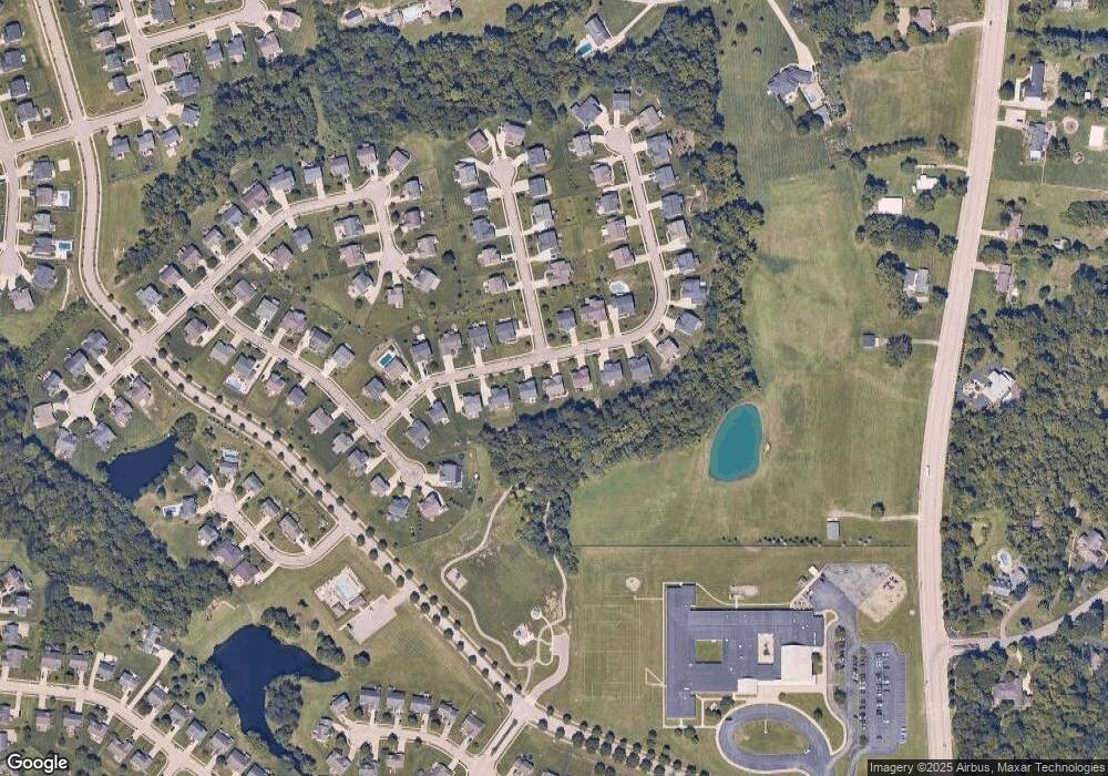
Map
Nearby Homes
- 803 N Bend Rd Unit 6
- 803 Lot 6 N Bend Rd Unit 6
- 765 N Bend Rd
- 1083 Breckenridge Ln
- 1353 Dominion Trail
- 1963 Greyfield Trail
- 1843 Emory Ct
- 1195 Breckenridge Ln
- 1770 Marshview Ct
- 1215 Breckenridge Ln
- 1218 Breckenridge Ln
- The Austin Plan at North Pointe
- The Waterson Plan at North Pointe
- The Bristol Plan at North Pointe
- The Livingston Plan at North Pointe
- The Lancaster Plan at North Pointe
- The Courtney Plan at North Pointe
- The Lincoln Plan at North Pointe
- The Morgan Plan at North Pointe
- The Mariemont Plan at North Pointe
- 1227 Monroe Dr
- 1231 Monroe Dr
- 1223 Monroe Dr
- 1235 Monroe Dr
- 1219 Monroe Dr
- 1224 Monroe Dr
- 1799 Vanburen Way
- 1799 Vanburen Way
- 1220 Monroe Dr
- 1241 Monroe Dr
- 1236 Monroe Dr Unit 368NP
- 1215 Monroe Dr
- 1206 Monroe Dr
- 1240 Monroe Dr
- 1794 Vanburen Way
- 1799 Van Buren Way
- 1795 Vanburen Way
- 1247 Monroe Dr
- 1211 Monroe Dr
- 1244 Monroe Dr