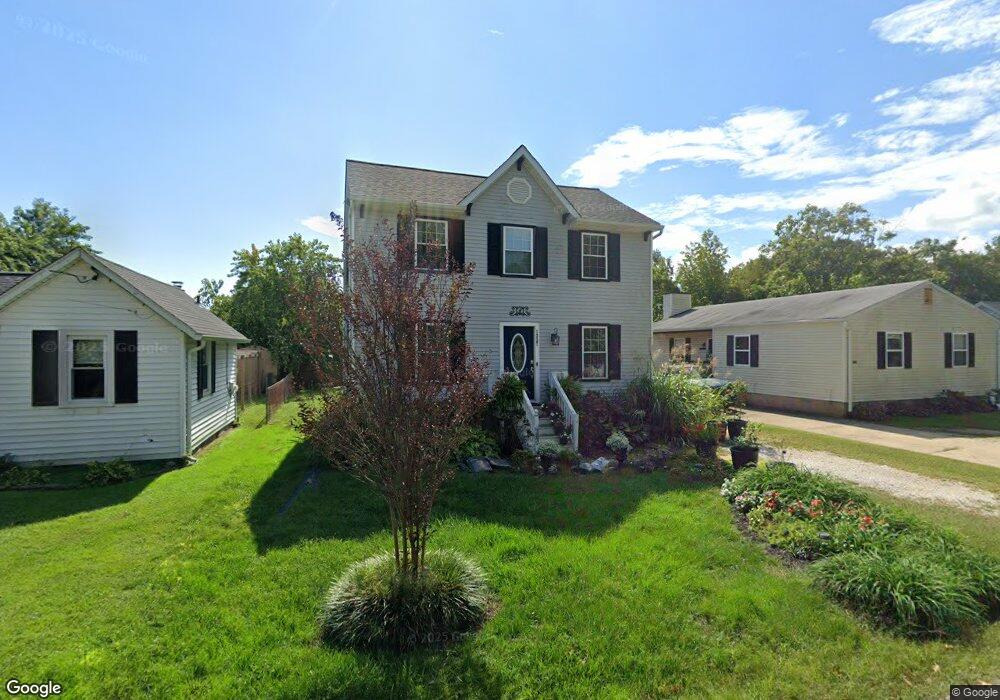
1227 Pine Ave Shady Side, MD 20764
Estimated Value: $405,867 - $449,000
Studio
3
Baths
1,250
Sq Ft
$342/Sq Ft
Est. Value
About This Home
This home is located at 1227 Pine Ave, Shady Side, MD 20764 and is currently estimated at $427,467, approximately $341 per square foot. 1227 Pine Ave is a home located in Anne Arundel County with nearby schools including Shady Side Elementary School, Southern Middle School, and Southern High School.
Ownership History
Date
Name
Owned For
Owner Type
Purchase Details
Closed on
Dec 6, 2023
Sold by
Blasco Corrine A
Bought by
Corrine Blasco Family Trust and Blasco
Current Estimated Value
Purchase Details
Closed on
Sep 16, 2004
Sold by
Koullias Nikolaos C
Bought by
Blasco Corrine A
Purchase Details
Closed on
Apr 5, 2002
Sold by
Burton James R
Bought by
Koullias Nikolaos C
Purchase Details
Closed on
Apr 29, 1997
Sold by
Blue Heron Homes Inc
Bought by
Burton James R
Purchase Details
Closed on
Mar 13, 1996
Sold by
Bogardus A Huguley Trust
Bought by
Blue Heron Homes Inc
Create a Home Valuation Report for This Property
The Home Valuation Report is an in-depth analysis detailing your home's value as well as a comparison with similar homes in the area
Home Values in the Area
Average Home Value in this Area
Purchase History
| Date | Buyer | Sale Price | Title Company |
|---|---|---|---|
| Corrine Blasco Family Trust | -- | None Listed On Document | |
| Corrine Blasco Family Trust | -- | None Listed On Document | |
| Blasco Corrine A | $237,500 | -- | |
| Koullias Nikolaos C | $156,000 | -- | |
| Burton James R | $122,900 | -- | |
| Blue Heron Homes Inc | $29,000 | -- |
Source: Public Records
Mortgage History
| Date | Status | Borrower | Loan Amount |
|---|---|---|---|
| Closed | Blue Heron Homes Inc | -- |
Source: Public Records
Tax History
| Year | Tax Paid | Tax Assessment Tax Assessment Total Assessment is a certain percentage of the fair market value that is determined by local assessors to be the total taxable value of land and additions on the property. | Land | Improvement |
|---|---|---|---|---|
| 2025 | $3,443 | $296,900 | -- | -- |
| 2024 | $3,443 | $279,800 | $0 | $0 |
Source: Public Records
Map
Nearby Homes
- 5191 Spring Ave
- 1199 Oak Ave
- 1176 Spruce Ave
- 1461 Cedarhurst Rd
- 4949 Idlewilde Rd
- 1650 Cedar Ln
- 0 Haile Pkwy Unit MDAA2127474
- 1445 & 1447 Haile Pkwy
- 1436 Haile Pkwy
- 1451 Shady Rest Rd
- 0 Shady Side Rd Unit MDAA2113156
- 0 Shady Side Rd Unit MDAA2113166
- 1428 Haile Pkwy
- 1419 Shady Rest Rd
- 5235 Al Jones Dr
- 1462 Snug Harbor Rd
- 5250 Al Jones Dr
- 4846 Woods Wharf Rd
- 1330 Jordan Dr
- 1302 Spruce St
Your Personal Tour Guide
Ask me questions while you tour the home.