Estimated Value: $403,000 - $408,000
3
Beds
3
Baths
1,277
Sq Ft
$318/Sq Ft
Est. Value
About This Home
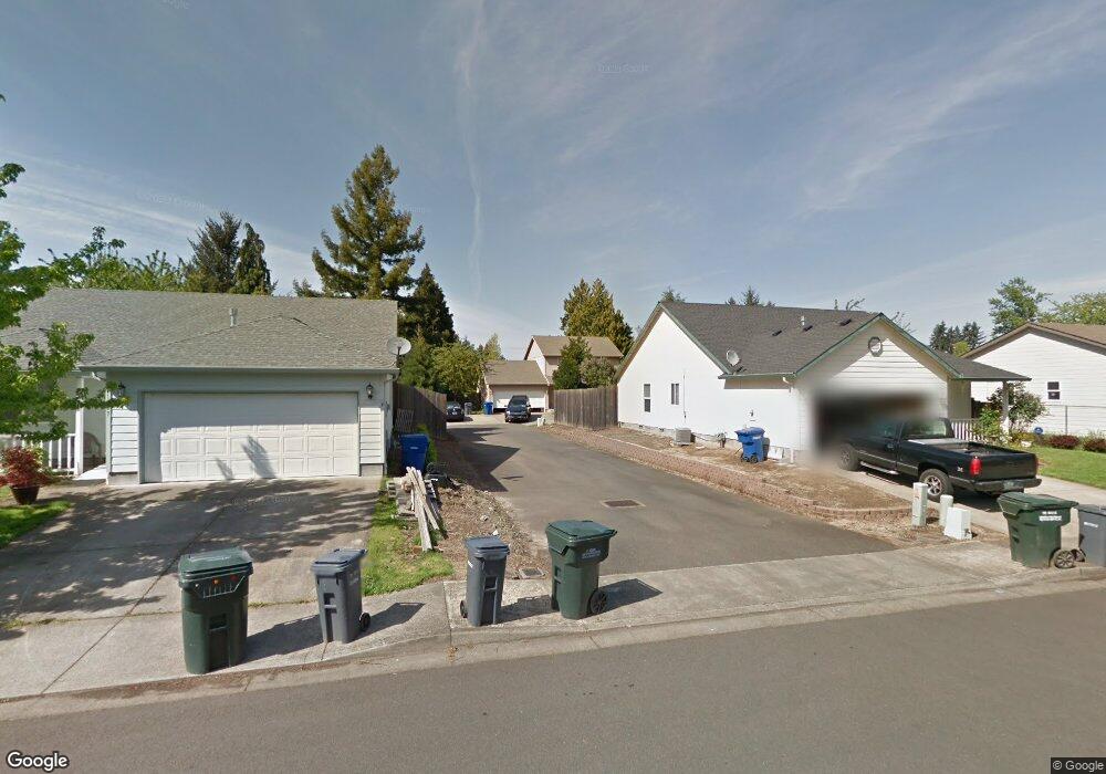
This home is located at 1227 Ring Ln NE, Salem, OR 97303 and is currently estimated at $405,488, approximately $317 per square foot. 1227 Ring Ln NE is a home located in Marion County with nearby schools including Weddle Elementary School, Claggett Creek Middle School, and McNary High School.
Ownership History
Date
Name
Owned For
Owner Type
Purchase Details
Closed on
Jun 22, 2023
Sold by
Harnar Living Trust and Harnar Douglas C
Bought by
Skaggs Jordyn Dakota and Rodriguez Chris N
Current Estimated Value
Home Financials for this Owner
Home Financials are based on the most recent Mortgage that was taken out on this home.
Original Mortgage
$366,700
Outstanding Balance
$356,429
Interest Rate
6.35%
Mortgage Type
New Conventional
Estimated Equity
$49,059
Purchase Details
Closed on
Dec 29, 2020
Sold by
Harner Jed Douglas
Bought by
Douglas Harner Llc
Create a Home Valuation Report for This Property
The Home Valuation Report is an in-depth analysis detailing your home's value as well as a comparison with similar homes in the area
Home Values in the Area
Average Home Value in this Area
Purchase History
| Date | Buyer | Sale Price | Title Company |
|---|---|---|---|
| Skaggs Jordyn Dakota | $386,000 | Amerititle | |
| Douglas Harner Llc | $265,000 | Amerititle |
Source: Public Records
Mortgage History
| Date | Status | Borrower | Loan Amount |
|---|---|---|---|
| Open | Skaggs Jordyn Dakota | $366,700 |
Source: Public Records
Tax History Compared to Growth
Tax History
| Year | Tax Paid | Tax Assessment Tax Assessment Total Assessment is a certain percentage of the fair market value that is determined by local assessors to be the total taxable value of land and additions on the property. | Land | Improvement |
|---|---|---|---|---|
| 2025 | $3,304 | $198,310 | -- | -- |
| 2024 | $3,304 | $192,540 | -- | -- |
| 2023 | $3,145 | $186,940 | $0 | $0 |
| 2022 | $2,962 | $181,500 | $0 | $0 |
| 2021 | $2,867 | $176,220 | $0 | $0 |
| 2020 | $2,879 | $171,090 | $0 | $0 |
| 2019 | $2,770 | $166,110 | $0 | $0 |
| 2018 | $2,737 | $0 | $0 | $0 |
| 2017 | $2,461 | $0 | $0 | $0 |
| 2016 | $2,358 | $0 | $0 | $0 |
| 2015 | $2,352 | $0 | $0 | $0 |
| 2014 | $2,288 | $0 | $0 | $0 |
Source: Public Records
Map
Nearby Homes
- 3774 Homestead Ct NE
- 1009 Ring St NE Unit 1015
- 1001 Ring St NE Unit 1007
- 1377 Krysti Ct NE
- 3515 Brooks Ave NE
- 500 Bever Dr NE
- 1202 Leo St NE
- 4020 Gary St NE
- 3984 Pleasant View Dr NE
- 3985 Pleasant View Dr NE
- 132 Sunset Ave N Unit 168
- 3515 Brooks Ave NE
- 4100 Arnold St NE
- 211 Sunset Ave N
- 3796 Hart Dr N
- 1660 Sieberg St NE
- 3650 Mainline Dr NE
- 1408 Greenwood Dr NE
- 3652 Powder Creek Ct N
- 3297 River Rd N
- 1227 Ring St NE
- 1217 Ring Ln NE
- 1220 Clearview Ave NE
- 1237 Ring Ln NE
- 1232 Clearview Ave NE
- 1210 Clearview Ave NE
- 1247 Ring Ln NE
- 1207 Ring Ln NE
- 1202 Clearview Ave NE
- 1170 Clearview Ave NE
- 1207 Ring St NE
- 1167 Ring St NE
- 1230 Clearview Ave NE
- 1206 Ring Ln NE
- 1240 Clearview Ave NE
- 1130 Clearview Ave NE
- 1137 Ring St NE
- 1257 Ring Ln NE
- 1267 Ring St NE
- 1267 Ring Ln NE