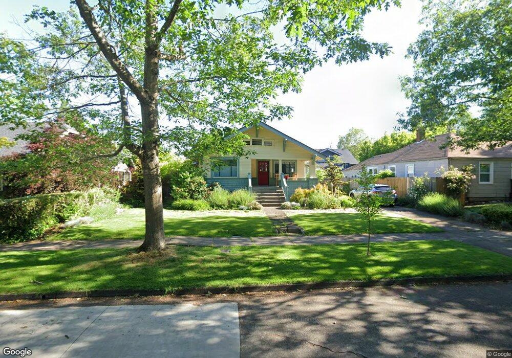
1227 W 10th Ave Eugene, OR 97402
Jefferson Westside NeighborhoodEstimated Value: $434,593 - $583,000
3
Beds
2
Baths
1,378
Sq Ft
$379/Sq Ft
Est. Value
About This Home
This home is located at 1227 W 10th Ave, Eugene, OR 97402 and is currently estimated at $522,148, approximately $378 per square foot. 1227 W 10th Ave is a home located in Lane County with nearby schools including Cesar Chavez Elementary School, Arts And Technology Academy At Jefferson, and Churchill High School.
Ownership History
Date
Name
Owned For
Owner Type
Purchase Details
Closed on
Jun 14, 2016
Sold by
Crockett Betsy Bodine and Crockett Randolph Tod
Bought by
Allan Michael and Lichten Keith
Current Estimated Value
Home Financials for this Owner
Home Financials are based on the most recent Mortgage that was taken out on this home.
Original Mortgage
$222,000
Outstanding Balance
$176,439
Interest Rate
3.61%
Mortgage Type
New Conventional
Estimated Equity
$345,709
Purchase Details
Closed on
Aug 11, 2009
Sold by
Crockett Betsy Bodine and Ford Michael E
Bought by
Crockett Randolph Tod and Crockett Betsy Bodine
Purchase Details
Closed on
Aug 12, 2005
Sold by
Ford Betsy B
Bought by
Taylor Michael D and Taylor Brooke E
Home Financials for this Owner
Home Financials are based on the most recent Mortgage that was taken out on this home.
Original Mortgage
$355,000
Interest Rate
5.48%
Mortgage Type
Fannie Mae Freddie Mac
Purchase Details
Closed on
Oct 12, 1999
Sold by
Betterton Gillian M and Filip Craig C
Bought by
Ford Michael E and Ford Betsy B
Create a Home Valuation Report for This Property
The Home Valuation Report is an in-depth analysis detailing your home's value as well as a comparison with similar homes in the area
Home Values in the Area
Average Home Value in this Area
Purchase History
| Date | Buyer | Sale Price | Title Company |
|---|---|---|---|
| Allan Michael | $332,000 | Cascade Title Company | |
| Crockett Randolph Tod | -- | None Available | |
| Taylor Michael D | $475,000 | Evergreen Land Title Company | |
| Ford Michael E | $171,800 | Evergreen Land Title Company |
Source: Public Records
Mortgage History
| Date | Status | Borrower | Loan Amount |
|---|---|---|---|
| Open | Allan Michael | $222,000 | |
| Previous Owner | Taylor Michael D | $355,000 |
Source: Public Records
Tax History
| Year | Tax Paid | Tax Assessment Tax Assessment Total Assessment is a certain percentage of the fair market value that is determined by local assessors to be the total taxable value of land and additions on the property. | Land | Improvement |
|---|---|---|---|---|
| 2025 | $3,998 | $205,214 | -- | -- |
| 2024 | $3,949 | $199,237 | -- | -- |
| 2023 | $3,949 | $193,434 | $0 | $0 |
| 2022 | $3,699 | $187,800 | $0 | $0 |
| 2021 | $3,474 | $182,331 | $0 | $0 |
| 2020 | $3,487 | $177,021 | $0 | $0 |
| 2019 | $3,367 | $171,866 | $0 | $0 |
| 2018 | $3,170 | $162,001 | $0 | $0 |
| 2017 | $3,028 | $162,001 | $0 | $0 |
| 2016 | $2,953 | $157,283 | $0 | $0 |
| 2015 | $2,868 | $152,702 | $0 | $0 |
| 2014 | $2,810 | $148,254 | $0 | $0 |
Source: Public Records
Map
Nearby Homes
- 1130 Polk St
- 1362 W 11th Ave
- 1445 W 11th Ave
- 1255 Taylor St
- 780 Van Buren St
- 1230 W 7th Ave
- 0 W 7th Aly
- 996 W 8th Ave
- 710 Van Buren St
- 990 W 7th Ave
- 960 W 7th Ave
- 710 W 11th Ave
- 1030 W 5th Ave
- 5713 Durst St
- 1391 W 5th Ave
- 1612 Polk St
- 461 Blair Blvd
- 650 W 12th Ave Unit 102
- 439 Almaden St
- 1243 Hayes St
Your Personal Tour Guide
Ask me questions while you tour the home.