Estimated Value: $435,000 - $609,000
--
Bed
3
Baths
2,283
Sq Ft
$222/Sq Ft
Est. Value
About This Home
This home is located at 1227 Wyant Rd, Grove, OK 74344 and is currently estimated at $507,575, approximately $222 per square foot. 1227 Wyant Rd is a home located in Delaware County with nearby schools including Grove Lower Elementary School, Grove Upper Elementary School, and Grove Middle School.
Ownership History
Date
Name
Owned For
Owner Type
Purchase Details
Closed on
Jun 9, 2024
Sold by
Saxton Family Revocable Living Trust and Saxton Michael T
Bought by
Saxton Michael T and Lucenta Diane C
Current Estimated Value
Purchase Details
Closed on
Dec 10, 2020
Sold by
Saxton Ben P and Saxton Connie Rose
Bought by
Saxton Benjamin P and Saxton Connie R
Purchase Details
Closed on
Oct 1, 2009
Sold by
Saxton Ben P and Saxton Connie Rose
Bought by
Saxton Ben P and Saxton Connie Rose
Create a Home Valuation Report for This Property
The Home Valuation Report is an in-depth analysis detailing your home's value as well as a comparison with similar homes in the area
Home Values in the Area
Average Home Value in this Area
Purchase History
| Date | Buyer | Sale Price | Title Company |
|---|---|---|---|
| Saxton Michael T | -- | None Listed On Document | |
| Saxton Benjamin P | -- | None Available | |
| Saxton Ben P | -- | -- |
Source: Public Records
Tax History Compared to Growth
Tax History
| Year | Tax Paid | Tax Assessment Tax Assessment Total Assessment is a certain percentage of the fair market value that is determined by local assessors to be the total taxable value of land and additions on the property. | Land | Improvement |
|---|---|---|---|---|
| 2025 | $2,259 | $29,764 | $10,416 | $19,348 |
| 2024 | $2,259 | $28,896 | $10,112 | $18,784 |
| 2023 | $2,259 | $28,054 | $9,783 | $18,271 |
| 2022 | $2,191 | $28,055 | $9,896 | $18,159 |
| 2021 | $2,120 | $27,238 | $9,551 | $17,687 |
| 2020 | $2,090 | $25,674 | $8,300 | $17,374 |
| 2019 | $2,045 | $25,050 | $8,300 | $16,750 |
| 2018 | $1,982 | $24,356 | $8,300 | $16,056 |
| 2017 | $1,938 | $24,031 | $8,300 | $15,731 |
| 2016 | $1,878 | $23,071 | $8,185 | $14,886 |
| 2015 | $1,905 | $23,071 | $8,185 | $14,886 |
| 2014 | $1,914 | $23,071 | $8,185 | $14,886 |
Source: Public Records
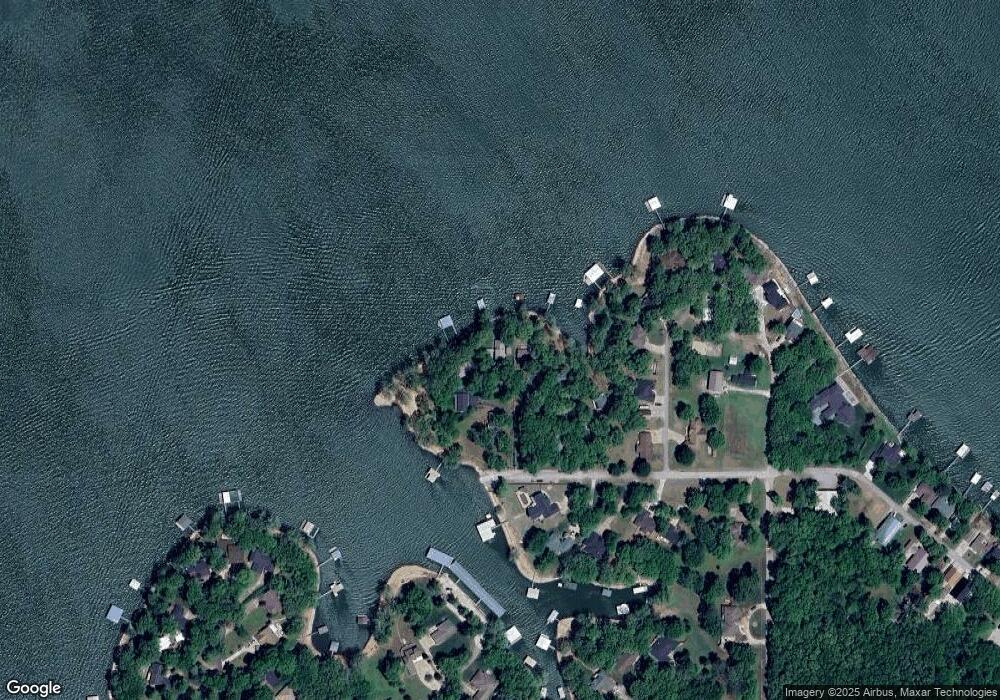
Map
Nearby Homes
- 2720 Thompson Rd
- 1619 Pine Dr
- 61113 E 310 Rd
- 61112 E 310 Rd
- 3111 Old Dyke Rd
- 3112 Shore Dr
- 3101 Shore Dr Unit 5
- 3110 Old Dyke Rd
- 1629 Dilar Dr
- 1709 Cardiac Cove Rd
- 25101 S 613
- 2666 Shasten St
- 0 Tbd Melody Point Cir
- 2243 Lower Waterfall Rd
- 3402 Callie Dr
- 1307 W 16th St
- 1621 Rockwood Dr
- 1303 W 16th St
- 0 Scenic Dr
- 1628 Battle Dr