Estimated Value: $478,000 - $623,000
3
Beds
2
Baths
4,184
Sq Ft
$131/Sq Ft
Est. Value
About This Home
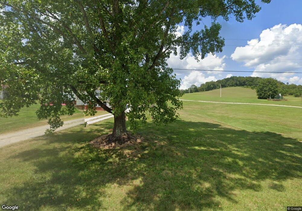
This home is located at 12271 State Route 93 N, Logan, OH 43138 and is currently estimated at $549,095, approximately $131 per square foot. 12271 State Route 93 N is a home with nearby schools including Central Elementary School, St. John the Evangelist School, and Logan Christian School.
Ownership History
Date
Name
Owned For
Owner Type
Purchase Details
Closed on
May 25, 2017
Sold by
Sterling Robert E and Sterling Carl L
Bought by
Faught Paul H and Faught Shelley S
Current Estimated Value
Home Financials for this Owner
Home Financials are based on the most recent Mortgage that was taken out on this home.
Original Mortgage
$35,910
Interest Rate
3.97%
Mortgage Type
New Conventional
Create a Home Valuation Report for This Property
The Home Valuation Report is an in-depth analysis detailing your home's value as well as a comparison with similar homes in the area
Home Values in the Area
Average Home Value in this Area
Purchase History
| Date | Buyer | Sale Price | Title Company |
|---|---|---|---|
| Faught Paul H | $39,900 | None Available |
Source: Public Records
Mortgage History
| Date | Status | Borrower | Loan Amount |
|---|---|---|---|
| Previous Owner | Faught Paul H | $35,910 |
Source: Public Records
Tax History Compared to Growth
Tax History
| Year | Tax Paid | Tax Assessment Tax Assessment Total Assessment is a certain percentage of the fair market value that is determined by local assessors to be the total taxable value of land and additions on the property. | Land | Improvement |
|---|---|---|---|---|
| 2024 | $4,031 | $105,040 | $21,700 | $83,340 |
| 2023 | $4,031 | $105,040 | $21,700 | $83,340 |
| 2022 | $4,037 | $105,040 | $21,700 | $83,340 |
| 2021 | $3,675 | $89,360 | $12,390 | $76,970 |
| 2020 | $3,677 | $89,360 | $12,390 | $76,970 |
| 2019 | $3,678 | $89,360 | $12,390 | $76,970 |
| 2018 | $1,992 | $48,030 | $9,730 | $38,300 |
| 2017 | $150 | $3,680 | $3,680 | $0 |
| 2016 | $149 | $3,680 | $3,680 | $0 |
| 2015 | $213 | $5,090 | $5,090 | $0 |
| 2014 | $213 | $5,090 | $5,090 | $0 |
| 2013 | $214 | $5,090 | $5,090 | $0 |
Source: Public Records
Map
Nearby Homes
- 11200 Bremen Rd
- 12170 State Route 93 N
- 12151 State Route 93 N
- 10132 Bremen Rd
- 0 Clay Hill Rd
- 0 Clay Bank Rd
- 35041 Hunter Rd
- 1138 Ohio Ave
- 1353 Colorado Ave
- 0 Walnut Dowler Rd Unit 225043922
- 825 Edgehill Dr
- 707 Edgehill Dr
- 347 Belva Ct
- 733 Walnut Dr
- 862 Walnut Dowler Rd
- 335 Vine St
- 993 Tolliver Rd
- 288 Walnut Dr
- 687 N Walnut St
- 582 N Walnut St
- 12275 State Route 93 N
- 12281 State Route 93 N
- 12289 State Route 93 N
- 12265 State Route 93 N
- 12297 State Route 93 N
- 12307 State Route 93 N
- 12300 State Route 93 N
- 10910 Bremen Rd
- 11080 Bremen Rd
- 12315 State Route 93 N
- 11123 Bremen Rd
- 12333 State Route 93 N
- 12241 State Route 93 N
- 10850 Bremen Rd
- 12357 State Route 93 N
- 12230 State Route 93 N
- 10891 Bremen Rd
- 12225 State Route 93 N
- 10766 Bremen Rd
- 10704 Bremen Rd