Estimated Value: $263,000 - $382,000
--
Bed
2
Baths
2,325
Sq Ft
$130/Sq Ft
Est. Value
About This Home
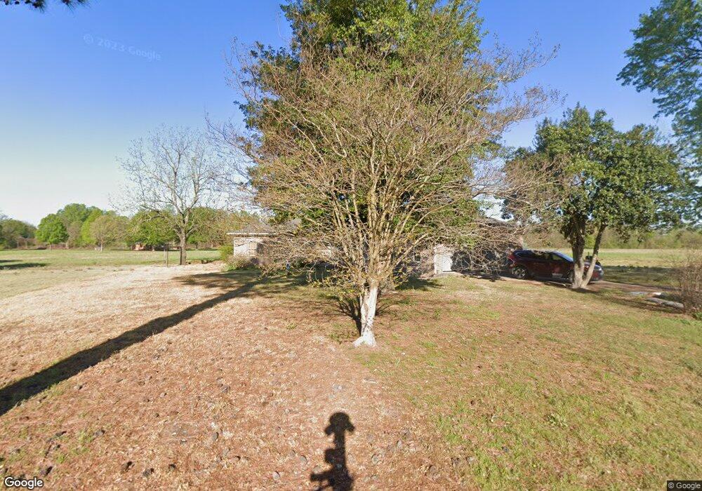
This home is located at 12274 Spectrum Rd, Scott, AR 72142 and is currently estimated at $303,291, approximately $130 per square foot. 12274 Spectrum Rd is a home located in Pulaski County with nearby schools including Harris Elementary School, Mills University Studies High School, and Scott Charter School.
Ownership History
Date
Name
Owned For
Owner Type
Purchase Details
Closed on
Jan 23, 2003
Sold by
Chapman Donald and Chapman Terresa M
Bought by
Chapman Donald R and Chapman Terresa M
Current Estimated Value
Home Financials for this Owner
Home Financials are based on the most recent Mortgage that was taken out on this home.
Original Mortgage
$174,000
Interest Rate
5.96%
Create a Home Valuation Report for This Property
The Home Valuation Report is an in-depth analysis detailing your home's value as well as a comparison with similar homes in the area
Home Values in the Area
Average Home Value in this Area
Purchase History
| Date | Buyer | Sale Price | Title Company |
|---|---|---|---|
| Chapman Donald R | -- | Standard Abstract & Title Co |
Source: Public Records
Mortgage History
| Date | Status | Borrower | Loan Amount |
|---|---|---|---|
| Closed | Chapman Donald R | $174,000 |
Source: Public Records
Tax History Compared to Growth
Tax History
| Year | Tax Paid | Tax Assessment Tax Assessment Total Assessment is a certain percentage of the fair market value that is determined by local assessors to be the total taxable value of land and additions on the property. | Land | Improvement |
|---|---|---|---|---|
| 2025 | $1,238 | $47,501 | $6,272 | $41,229 |
| 2024 | $1,238 | $47,501 | $6,272 | $41,229 |
| 2023 | $1,238 | $47,501 | $6,272 | $41,229 |
| 2022 | $1,490 | $47,501 | $6,272 | $41,229 |
| 2021 | $1,445 | $38,360 | $3,920 | $34,440 |
| 2020 | $1,070 | $38,360 | $3,920 | $34,440 |
| 2019 | $1,060 | $38,360 | $3,920 | $34,440 |
| 2018 | $1,085 | $38,360 | $3,920 | $34,440 |
| 2017 | $1,073 | $38,360 | $3,920 | $34,440 |
| 2016 | $1,073 | $35,900 | $2,160 | $33,740 |
| 2015 | $1,238 | $24,363 | $2,160 | $22,203 |
| 2014 | $1,238 | $24,363 | $2,160 | $22,203 |
Source: Public Records
Map
Nearby Homes
- 12904 Smarty Jones Dr
- LOT 5 Craig Rd
- 13319 Smarty Jones Dr
- 13129 Smarty Jones Dr
- 14420 Upper Steel Bend Rd
- 00 Upper Steel Bend Rd
- XX Colonel Maynard Rd
- 00 Plantation Point
- 53 Planters Row
- 000 Planters Row
- 00 Planters Row
- O Frazier Pike
- 109 Ac Colonel Maynard Rd
- 303 Ac Colonel Maynard Rd
- 294 Ac Hwy 165 W
- 130 Ac Hwy 165 W
- 10601 Harper Rd
- 55 Ac Hwy 165 W
- Lot 336 Mound View Dr
- Lot 310 Mound View Dr
- 7618 Colonel Maynard Rd
- 7627 Colonel Maynard Rd
- 7824 Colonel Maynard Rd
- 7605 Colonel Maynard Rd
- 7723 Colonel Maynard Rd
- 12251 Spectrum Rd
- 7704 Craig Rd
- 7717 Craig Rd
- 12243 Spectrum Rd
- 7819 Colonel Maynard Rd
- 7823 Colonel Maynard Rd
- 12205 Spectrum Rd
- 11411 Youngblood Trail
- 7825 Colonel Maynard Rd
- 7903 Colonel Maynard Rd
- 7302 Colonel Maynard Rd
- 12829 Iowa Ln
- 7925 Colonel Maynard Rd
- 7925 Colonel Maynard Rd
- 7931 Colonel Maynard Rd