Estimated Value: $178,367 - $231,000
3
Beds
2
Baths
1,628
Sq Ft
$126/Sq Ft
Est. Value
About This Home
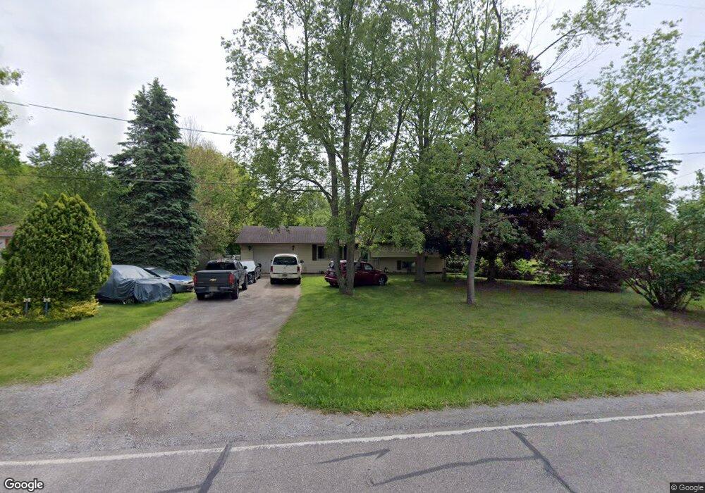
This home is located at 12276 Neff Rd, Clio, MI 48420 and is currently estimated at $205,842, approximately $126 per square foot. 12276 Neff Rd is a home located in Genesee County with nearby schools including George R. Carter Middle School and Clio Area High School.
Ownership History
Date
Name
Owned For
Owner Type
Purchase Details
Closed on
Sep 16, 2011
Sold by
Fannie Mae
Bought by
Jones David and Jones Valerie
Current Estimated Value
Purchase Details
Closed on
Sep 1, 2010
Sold by
Brown Michael J and Brown Annette R
Bought by
Federal National Mortgage Association
Purchase Details
Closed on
Jun 23, 2006
Sold by
Holbin Curtis R and Holbin Brenda L
Bought by
Brown Michael J and Brown Annette R
Create a Home Valuation Report for This Property
The Home Valuation Report is an in-depth analysis detailing your home's value as well as a comparison with similar homes in the area
Home Values in the Area
Average Home Value in this Area
Purchase History
| Date | Buyer | Sale Price | Title Company |
|---|---|---|---|
| Jones David | $68,000 | Multiple | |
| Federal National Mortgage Association | $129,104 | None Available | |
| Brown Michael J | $127,900 | Metropolitan Title Company |
Source: Public Records
Tax History
| Year | Tax Paid | Tax Assessment Tax Assessment Total Assessment is a certain percentage of the fair market value that is determined by local assessors to be the total taxable value of land and additions on the property. | Land | Improvement |
|---|---|---|---|---|
| 2025 | $1,918 | $90,400 | $0 | $0 |
| 2024 | $800 | $82,200 | $0 | $0 |
| 2023 | $763 | $76,200 | $0 | $0 |
| 2022 | $1,710 | $68,500 | $0 | $0 |
| 2021 | $1,689 | $61,500 | $0 | $0 |
| 2020 | $698 | $56,900 | $0 | $0 |
| 2019 | $637 | $53,800 | $0 | $0 |
| 2018 | $1,465 | $52,700 | $0 | $0 |
| 2017 | $1,398 | $52,700 | $0 | $0 |
| 2016 | $1,387 | $47,400 | $0 | $0 |
| 2015 | $1,375 | $44,300 | $0 | $0 |
| 2012 | -- | $40,600 | $40,600 | $0 |
Source: Public Records
Map
Nearby Homes
- 1623 Morgan Rd
- 12160 Neff Rd
- 00000 N Saginaw Rd
- 0000 N Saginaw Rd
- 12078 Innsbruck Place Unit 109
- 12058 Innsbruck Place
- 11576 Hamilton St
- 0 N Linden Rd Unit 50196055
- 0 E Vienna Rd Unit 50191701
- 0 E Vienna Rd Unit 20251018015
- 0 W Vienna Rd Unit 20230077147
- 13021 N Saginaw Rd
- 1375 Elm St
- 11439 Windmill Pointe
- 11396 N Saginaw Rd
- 00 Roseberry Ln
- 12402 McCumsey Rd
- 140 E Johnson St
- 212 Darrow St
- 607 Park View
Your Personal Tour Guide
Ask me questions while you tour the home.