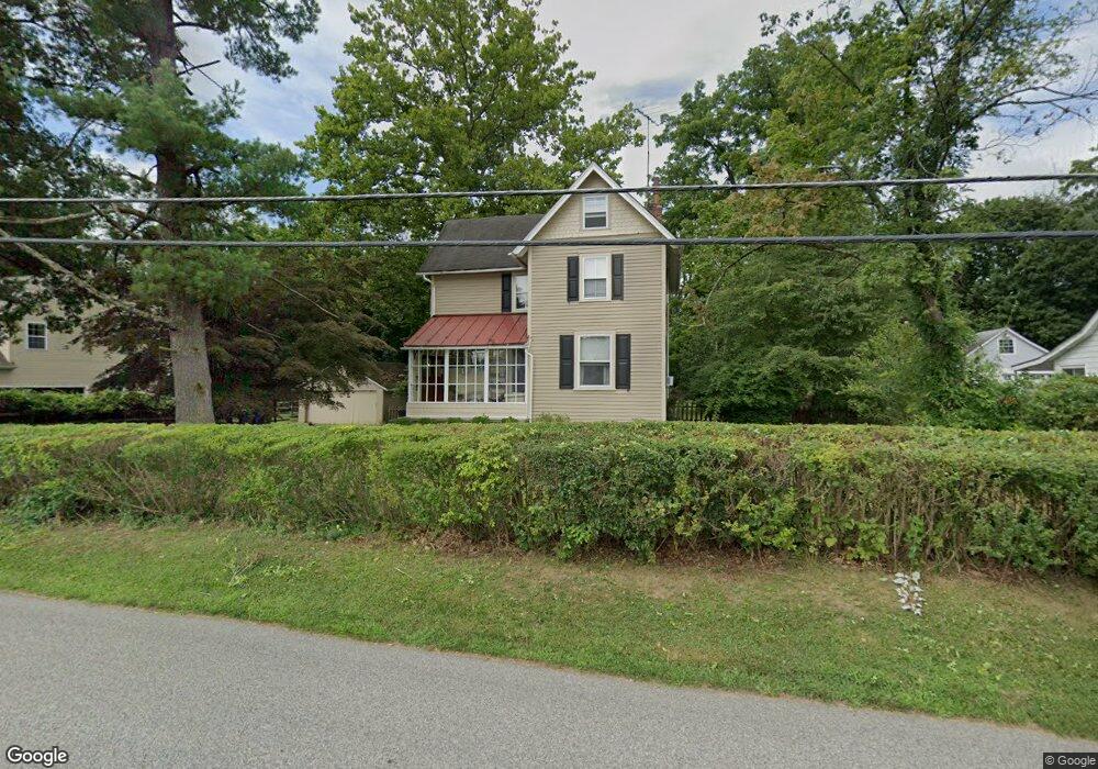
1228 Ashbridge Rd West Chester, PA 19380
Estimated Value: $415,475 - $570,000
4
Beds
1
Bath
1,296
Sq Ft
$381/Sq Ft
Est. Value
About This Home
This home is located at 1228 Ashbridge Rd, West Chester, PA 19380 and is currently estimated at $494,369, approximately $381 per square foot. 1228 Ashbridge Rd is a home located in Chester County with nearby schools including Fern Hill Elementary School, E.N. Peirce Middle School, and Henderson High School.
Ownership History
Date
Name
Owned For
Owner Type
Purchase Details
Closed on
May 14, 1999
Sold by
Goroski Alyson J
Bought by
Johnson Kenneth A and Johnson Jacqueline M
Current Estimated Value
Home Financials for this Owner
Home Financials are based on the most recent Mortgage that was taken out on this home.
Original Mortgage
$104,500
Interest Rate
7.19%
Purchase Details
Closed on
Oct 28, 1997
Sold by
Mirth Barbara Lee
Bought by
Goroski Alyson J
Home Financials for this Owner
Home Financials are based on the most recent Mortgage that was taken out on this home.
Original Mortgage
$124,700
Interest Rate
7.23%
Mortgage Type
Balloon
Create a Home Valuation Report for This Property
The Home Valuation Report is an in-depth analysis detailing your home's value as well as a comparison with similar homes in the area
Home Values in the Area
Average Home Value in this Area
Purchase History
| Date | Buyer | Sale Price | Title Company |
|---|---|---|---|
| Johnson Kenneth A | $184,500 | First American Title Ins Co | |
| Goroski Alyson J | $155,900 | T A Title Insurance Company |
Source: Public Records
Mortgage History
| Date | Status | Borrower | Loan Amount |
|---|---|---|---|
| Previous Owner | Johnson Kenneth A | $104,500 | |
| Previous Owner | Goroski Alyson J | $124,700 |
Source: Public Records
Tax History Compared to Growth
Tax History
| Year | Tax Paid | Tax Assessment Tax Assessment Total Assessment is a certain percentage of the fair market value that is determined by local assessors to be the total taxable value of land and additions on the property. | Land | Improvement |
|---|---|---|---|---|
| 2025 | $3,480 | $120,040 | $42,250 | $77,790 |
| 2024 | $3,480 | $120,040 | $42,250 | $77,790 |
| 2023 | $3,480 | $120,040 | $42,250 | $77,790 |
| 2022 | $3,435 | $120,040 | $42,250 | $77,790 |
| 2021 | $3,387 | $120,040 | $42,250 | $77,790 |
| 2020 | $3,365 | $120,040 | $42,250 | $77,790 |
| 2019 | $3,318 | $120,040 | $42,250 | $77,790 |
| 2018 | $3,247 | $120,040 | $42,250 | $77,790 |
| 2017 | $3,177 | $120,040 | $42,250 | $77,790 |
| 2016 | $2,541 | $120,040 | $42,250 | $77,790 |
| 2015 | $2,541 | $120,040 | $42,250 | $77,790 |
| 2014 | $2,541 | $120,040 | $42,250 | $77,790 |
Source: Public Records
Map
Nearby Homes
- 1302 Ashbridge Rd
- 116 Windridge Dr
- 1322 Ashbridge Rd
- 1405 Gorky Ln
- 300 Kirkland Ave Unit DEVONSHIRE
- 300 Kirkland Ave Unit HAWTHORNE
- 300 Kirkland Ave Unit SAVANNAH
- 300 Kirkland Ave Unit AUGUSTA
- Kipling Plan at The Woodlands at Brandywine
- Nottingham Plan at The Woodlands at Brandywine
- Hawthorne Plan at The Woodlands at Brandywine
- Savannah Plan at The Woodlands at Brandywine
- Magnolia Plan at The Woodlands at Brandywine
- Woodford Plan at The Woodlands at Brandywine
- Augusta Plan at The Woodlands at Brandywine
- Devonshire Plan at The Woodlands at Brandywine
- Ethan Plan at The Woodlands at Brandywine
- Covington Plan at The Woodlands at Brandywine
- 90 Eakins Cir
- 95 Eakins Cir
- 1230 Ashbridge Rd
- 1224 Ashbridge Rd
- 801 Derby Dr
- 1234 Ashbridge Rd
- 608 Howard Rd
- 1222 Ashbridge Rd
- 606 Howard Rd
- 800 Derby Dr
- 805 Derby Dr
- 610 Howard Rd
- 604 Howard Rd
- 1220 Ashbridge Rd
- 804 Derby Dr
- 1235 Ashbridge Rd
- 808 Derby Dr
- 809 Derby Dr
- 612 Howard Rd
- 1238 Ashbridge Rd
- 614 Howard Rd
- 602 Howard Rd